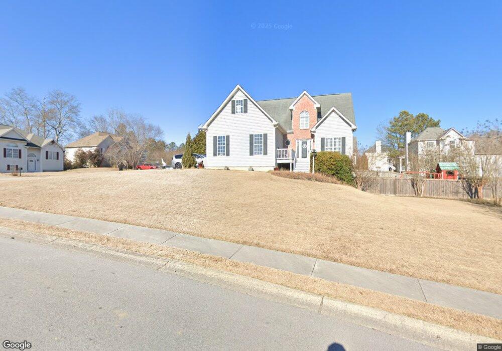
39 Derby Run Dallas, GA 30132
East Paulding County NeighborhoodEstimated Value: $316,000 - $344,703
3
Beds
4
Baths
1,564
Sq Ft
$208/Sq Ft
Est. Value
About This Home
This home is located at 39 Derby Run, Dallas, GA 30132 and is currently estimated at $325,176, approximately $207 per square foot. 39 Derby Run is a home located in Paulding County with nearby schools including Northside Elementary School, Lena Mae Moses Middle School, and East Paulding High School.
Ownership History
Date
Name
Owned For
Owner Type
Purchase Details
Closed on
Aug 16, 1999
Sold by
Thornton Homes Inc
Bought by
Laird Robert E and Laird Brenda K
Current Estimated Value
Home Financials for this Owner
Home Financials are based on the most recent Mortgage that was taken out on this home.
Original Mortgage
$97,920
Outstanding Balance
$28,315
Interest Rate
7.73%
Mortgage Type
New Conventional
Estimated Equity
$296,861
Create a Home Valuation Report for This Property
The Home Valuation Report is an in-depth analysis detailing your home's value as well as a comparison with similar homes in the area
Home Values in the Area
Average Home Value in this Area
Purchase History
| Date | Buyer | Sale Price | Title Company |
|---|---|---|---|
| Laird Robert E | $122,400 | -- |
Source: Public Records
Mortgage History
| Date | Status | Borrower | Loan Amount |
|---|---|---|---|
| Open | Laird Robert E | $97,920 |
Source: Public Records
Tax History Compared to Growth
Tax History
| Year | Tax Paid | Tax Assessment Tax Assessment Total Assessment is a certain percentage of the fair market value that is determined by local assessors to be the total taxable value of land and additions on the property. | Land | Improvement |
|---|---|---|---|---|
| 2024 | $834 | $124,328 | $12,000 | $112,328 |
| 2023 | $939 | $118,844 | $12,000 | $106,844 |
| 2022 | $1,598 | $100,044 | $12,000 | $88,044 |
| 2021 | $1,493 | $82,696 | $12,000 | $70,696 |
| 2020 | $1,380 | $74,640 | $12,000 | $62,640 |
| 2019 | $1,286 | $68,688 | $12,000 | $56,688 |
| 2018 | $1,143 | $61,976 | $12,000 | $49,976 |
| 2017 | $1,706 | $57,724 | $12,000 | $45,724 |
| 2016 | $1,609 | $55,092 | $12,000 | $43,092 |
| 2015 | $1,483 | $50,040 | $12,000 | $38,040 |
| 2014 | $1,211 | $40,232 | $12,000 | $28,232 |
| 2013 | -- | $35,640 | $12,000 | $23,640 |
Source: Public Records
Map
Nearby Homes
- 791 Brooks Rd
- The McGinnis Plan at Jones Ridge
- The Langford Plan at Jones Ridge
- The Ellijay Plan at Jones Ridge
- The Palmer Plan at Jones Ridge
- The James Plan at Jones Ridge
- The Lancaster Plan at Jones Ridge
- The Avery Plan at Jones Ridge
- 70 Stallion Run
- 57 Saddle Brooke Dr
- 16 Riders Ridge
- 32 Stable Ln
- 74 Riders Ridge
- 443 Brooks Rd
- 68 Wagon Trail Cir
- 181 Beckett Dr
- 265 Huntleigh Chase Dr
- 214 River Run Dr
- 214 River Run Dr Unit 83
- Brentwood Plan at Creekside Landing
- 27 Stallion Run
- 15 Derby Run
- 741 Brooks Rd
- 44 Derby Run
- 41 Stallion Run
- 725 Brooks Rd
- 26 Derby Run
- 20 Stallion Run
- 60 Derby Run
- 707 Brooks Rd
- 84 Derby Run
- 240 Steeple Chase Trail
- 54 Stallion Run
- 770 Brooks Rd
- 55 Stallion Run
- 750 Brooks Rd
- 236 Steeple Chase Trail
- 687 Brooks Rd
- 250 Steeple Chase Trail
- 91 Derby Run