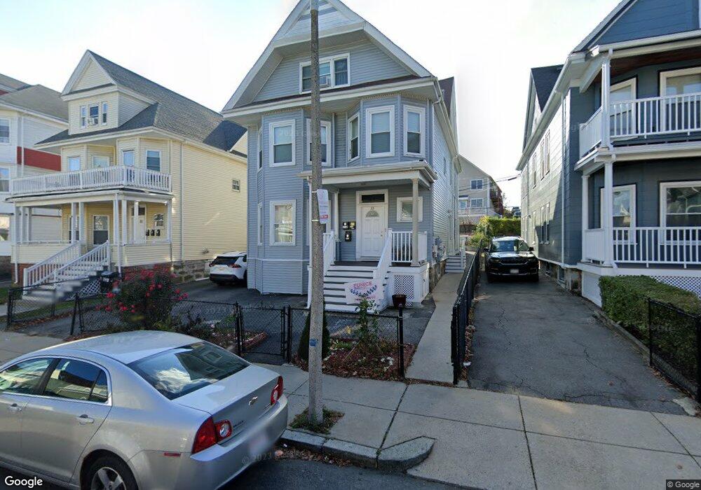
39 Devon St Unit 2 Dorchester, MA 02121
Dudley-Brunswick King NeighborhoodEstimated Value: $876,000 - $1,052,000
3
Beds
1
Bath
99,999
Sq Ft
$10/Sq Ft
Est. Value
About This Home
This home is located at 39 Devon St Unit 2, Dorchester, MA 02121 and is currently estimated at $965,023, approximately $9 per square foot. 39 Devon St Unit 2 is a home located in Suffolk County with nearby schools including Bridge Boston Charter School and Mother Caroline Academy & Education Center.
Ownership History
Date
Name
Owned For
Owner Type
Purchase Details
Closed on
Dec 18, 2014
Sold by
Rock Solid Llc
Bought by
Munoz Eunice D
Current Estimated Value
Home Financials for this Owner
Home Financials are based on the most recent Mortgage that was taken out on this home.
Original Mortgage
$448,450
Outstanding Balance
$344,773
Interest Rate
4.02%
Mortgage Type
New Conventional
Estimated Equity
$620,250
Purchase Details
Closed on
Mar 24, 2014
Sold by
King Rose M
Bought by
Rock Solid Llc
Home Financials for this Owner
Home Financials are based on the most recent Mortgage that was taken out on this home.
Original Mortgage
$250,000
Interest Rate
4.25%
Mortgage Type
Commercial
Create a Home Valuation Report for This Property
The Home Valuation Report is an in-depth analysis detailing your home's value as well as a comparison with similar homes in the area
Home Values in the Area
Average Home Value in this Area
Purchase History
| Date | Buyer | Sale Price | Title Company |
|---|---|---|---|
| Munoz Eunice D | $485,000 | -- | |
| Rock Solid Llc | $265,259 | -- |
Source: Public Records
Mortgage History
| Date | Status | Borrower | Loan Amount |
|---|---|---|---|
| Open | Munoz Eunice D | $448,450 | |
| Previous Owner | Rock Solid Llc | $250,000 |
Source: Public Records
Tax History
| Year | Tax Paid | Tax Assessment Tax Assessment Total Assessment is a certain percentage of the fair market value that is determined by local assessors to be the total taxable value of land and additions on the property. | Land | Improvement |
|---|---|---|---|---|
| 2025 | $11,696 | $1,010,000 | $237,400 | $772,600 |
| 2024 | $9,248 | $848,400 | $221,100 | $627,300 |
| 2023 | $8,518 | $793,100 | $206,700 | $586,400 |
| 2022 | $7,844 | $721,000 | $187,900 | $533,100 |
| 2021 | $7,252 | $679,700 | $175,600 | $504,100 |
| 2020 | $7,161 | $678,100 | $176,600 | $501,500 |
| 2019 | $6,213 | $589,500 | $124,700 | $464,800 |
| 2018 | $6,178 | $589,500 | $124,700 | $464,800 |
| 2017 | $5,832 | $550,700 | $124,700 | $426,000 |
| 2016 | $5,268 | $478,900 | $124,700 | $354,200 |
| 2015 | $3,272 | $270,200 | $104,200 | $166,000 |
| 2014 | $3,120 | $248,000 | $104,200 | $143,800 |
Source: Public Records
Map
Nearby Homes
- 40 Devon St Unit 3
- 63 Normandy St
- 52 Intervale St
- 362 Blue Hill Ave
- 157-165 Stanwood St
- 23 Lawrence Ave
- 39-41 Bishop Joe L Smith Way Unit 9
- 91 Geneva Ave
- 7 Waumbeck St Unit 2
- 252-254 Magnolia St
- 87 Maple St
- 27 Brinsley St
- 8 Weldon St
- 12 Weldon St
- 75 Savin St
- 33 Waumbeck St
- 51 Ceylon St
- 35 Cunningham St
- 173 Magnolia St Unit 5
- 162 Humboldt Ave
- 39 Devon St
- 35 Devon St
- 43 Devon St
- 31 Devon St
- 71 Buick St Unit 79
- 55 Devon St Unit 7
- 55 Devon St Unit 6
- 55 Devon St Unit 5
- 55 Devon St Unit 4
- 55 Devon St Unit 3
- 55 Devon St Unit 2
- 12 Stanwood St
- 51 Devon St
- 16 Stanwood St
- 40 Devon St
- 40 Devon St Unit PENTHOUSE
- 44 Devon St
- 8 Stanwood St
- 8 Stanwood St Unit 2
- 36 Devon St
Your Personal Tour Guide
Ask me questions while you tour the home.