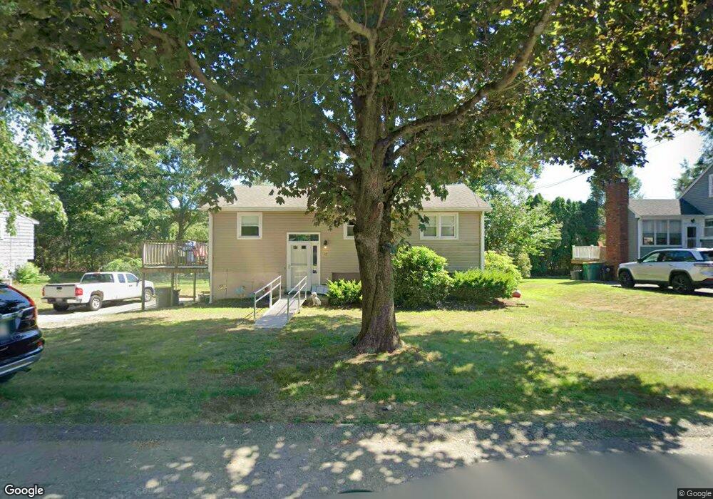
39 Donald Tennant Cir North Attleboro, MA 02760
North Attleboro NeighborhoodEstimated Value: $433,743 - $532,000
3
Beds
1
Bath
896
Sq Ft
$540/Sq Ft
Est. Value
About This Home
This home is located at 39 Donald Tennant Cir, North Attleboro, MA 02760 and is currently estimated at $483,686, approximately $539 per square foot. 39 Donald Tennant Cir is a home located in Bristol County with nearby schools including North Attleboro High School, Cadence Academy Preschool - North Attleborough, and Bishop Feehan High School.
Ownership History
Date
Name
Owned For
Owner Type
Purchase Details
Closed on
Feb 27, 2025
Sold by
Hubbell Carol J and Hubbell Robet W
Bought by
Hubbell Carol J
Current Estimated Value
Purchase Details
Closed on
Mar 29, 1990
Sold by
Refanelli Mark G
Bought by
Hubbell Robert W
Create a Home Valuation Report for This Property
The Home Valuation Report is an in-depth analysis detailing your home's value as well as a comparison with similar homes in the area
Home Values in the Area
Average Home Value in this Area
Purchase History
| Date | Buyer | Sale Price | Title Company |
|---|---|---|---|
| Hubbell Carol J | -- | None Available | |
| Hubbell Carol J | -- | None Available | |
| Hubbell Robert W | $135,000 | -- |
Source: Public Records
Mortgage History
| Date | Status | Borrower | Loan Amount |
|---|---|---|---|
| Previous Owner | Hubbell Robert W | $180,800 | |
| Previous Owner | Hubbell Robert W | $30,000 | |
| Previous Owner | Hubbell Robert W | $25,000 |
Source: Public Records
Tax History Compared to Growth
Tax History
| Year | Tax Paid | Tax Assessment Tax Assessment Total Assessment is a certain percentage of the fair market value that is determined by local assessors to be the total taxable value of land and additions on the property. | Land | Improvement |
|---|---|---|---|---|
| 2025 | $4,310 | $365,600 | $114,900 | $250,700 |
| 2024 | $4,117 | $356,800 | $114,900 | $241,900 |
| 2023 | $4,202 | $328,500 | $114,900 | $213,600 |
| 2022 | $4,044 | $290,300 | $114,900 | $175,400 |
| 2021 | $0 | $270,200 | $114,900 | $155,300 |
| 2020 | $3,751 | $261,400 | $114,900 | $146,500 |
| 2019 | $3,574 | $251,000 | $104,500 | $146,500 |
| 2018 | $0 | $238,600 | $104,500 | $134,100 |
| 2017 | $3,039 | $229,900 | $104,500 | $125,400 |
| 2016 | $2,800 | $211,800 | $116,100 | $95,700 |
| 2015 | $2,700 | $205,500 | $121,900 | $83,600 |
| 2014 | $2,586 | $195,300 | $112,700 | $82,600 |
Source: Public Records
Map
Nearby Homes
- 196 Donald Tennant Cir
- 11 Landry Ave
- 115 Westfield Dr
- 57 Vine St
- 11 Buckthorn Ln
- Lot 2 Jeffrey Dr
- Lot 5 Jeffrey Dr
- 5 Old Wood Rd
- 116 George St
- 255 Mckeon Dr
- 12 Houde St
- 40 Natalie Dr
- 150 Gilbert St
- 24 Maverick Dr
- 20 Sperry Ln
- 835 Mt Hope St Unit 39
- 21 Shady Ln
- 28 Messenger St
- 9 Sunnyside Dr Unit 9
- 711 Mount Hope St Unit 13
- 33 Donald Tennant Cir
- 47 Donald Tennant Cir
- 42 Donald Tennant Cir
- 34 Donald Tennant Cir
- 48 Donald Tennant Cir
- 27 Donald Tennant Cir
- 26 Donald Tennant Cir
- 53 Donald Tennant Cir
- 190 Donald Tennant Cir
- 56 Donald Tennant Cir
- 19 Donald Tennant Cir
- 206 Donald Tennant Cir
- 206 Donald Tennant Cir
- 66 Donald Tennant Cir
- 14 Donald Tennant Cir
- 191 Donald Tennant Cir
- 199 Donald Tennant Cir
- 215 Donald Tennant Cir
- 73 Donald Tennant Cir
- 205 Donald Tennant Cir