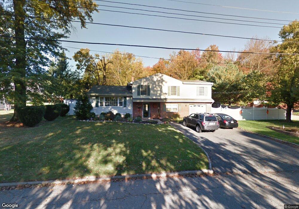
39 Dorian Rd Boonton, NJ 07005
Estimated Value: $749,086 - $836,000
--
Bed
--
Bath
2,230
Sq Ft
$360/Sq Ft
Est. Value
About This Home
This home is located at 39 Dorian Rd, Boonton, NJ 07005 and is currently estimated at $803,522, approximately $360 per square foot. 39 Dorian Rd is a home located in Morris County with nearby schools including School Street Elementary School, John Hill Elementary School, and Boonton High School.
Ownership History
Date
Name
Owned For
Owner Type
Purchase Details
Closed on
Apr 11, 2002
Sold by
Petersen Robert
Bought by
Haugstetter James and Onjack Tammy
Current Estimated Value
Home Financials for this Owner
Home Financials are based on the most recent Mortgage that was taken out on this home.
Original Mortgage
$225,000
Outstanding Balance
$93,539
Interest Rate
6.85%
Estimated Equity
$709,983
Purchase Details
Closed on
Aug 29, 1996
Sold by
Petersen Robert and Rabbitt Carol
Bought by
Petersen Robert
Create a Home Valuation Report for This Property
The Home Valuation Report is an in-depth analysis detailing your home's value as well as a comparison with similar homes in the area
Home Values in the Area
Average Home Value in this Area
Purchase History
| Date | Buyer | Sale Price | Title Company |
|---|---|---|---|
| Haugstetter James | $325,000 | -- | |
| Petersen Robert | $183,750 | Lawyers Title Insurance Corp |
Source: Public Records
Mortgage History
| Date | Status | Borrower | Loan Amount |
|---|---|---|---|
| Open | Haugstetter James | $225,000 |
Source: Public Records
Tax History Compared to Growth
Tax History
| Year | Tax Paid | Tax Assessment Tax Assessment Total Assessment is a certain percentage of the fair market value that is determined by local assessors to be the total taxable value of land and additions on the property. | Land | Improvement |
|---|---|---|---|---|
| 2025 | $15,163 | $448,600 | $207,800 | $240,800 |
| 2024 | $14,763 | $448,600 | $207,800 | $240,800 |
| 2023 | $14,763 | $448,600 | $207,800 | $240,800 |
| 2022 | $13,992 | $448,600 | $207,800 | $240,800 |
| 2021 | $13,992 | $448,600 | $207,800 | $240,800 |
| 2020 | $13,413 | $448,600 | $207,800 | $240,800 |
| 2019 | $13,588 | $448,600 | $207,800 | $240,800 |
| 2018 | $13,229 | $448,600 | $207,800 | $240,800 |
| 2017 | $12,677 | $448,600 | $207,800 | $240,800 |
| 2016 | $12,345 | $448,600 | $207,800 | $240,800 |
| 2015 | $12,144 | $448,600 | $207,800 | $240,800 |
| 2014 | $11,874 | $448,600 | $207,800 | $240,800 |
Source: Public Records
Map
Nearby Homes
- 18 Country Meadows Ln
- 7 Joan Dr
- 8 Highland Ave
- 19 Montville Ave
- 113 Old Boonton Rd
- 951 N Beverwyck Rd
- 9 Meadow Ct
- 303 Union St
- 14 Katherine Dr
- 34 Kanouse Ln
- 7 River Rd
- 209 William St
- 725 Cornelia St
- 203 N Beverwyck Rd Unit 1
- 203 1 N Beverwyck Rd Unit 1
- 646 Cornelia St
- 314 Cornelia St
- 314 Cornelia St Unit 4
- 331 Church St
- 74 Longview Ave
- 31 Dorian Rd
- 201 Dorian Rd
- 40 Dorian Rd
- 14 Country Meadows Ln
- 32 Dorian Rd
- 23 Dorian Rd
- 202 Dorian Rd
- 10 Country Meadows Ln
- 24 Dorian Rd
- 43 Rexland Dr
- 211 Dorian Rd
- 31 Rexland Dr
- 210 Dorian Rd
- 11 Dorian Rd
- 201 Rexland Dr
- 23 Rexland Dr
- 14 Dorian Rd
- 6 Country Meadows Ln
- 22 Country Meadows Ln
- 221 Dorian Rd