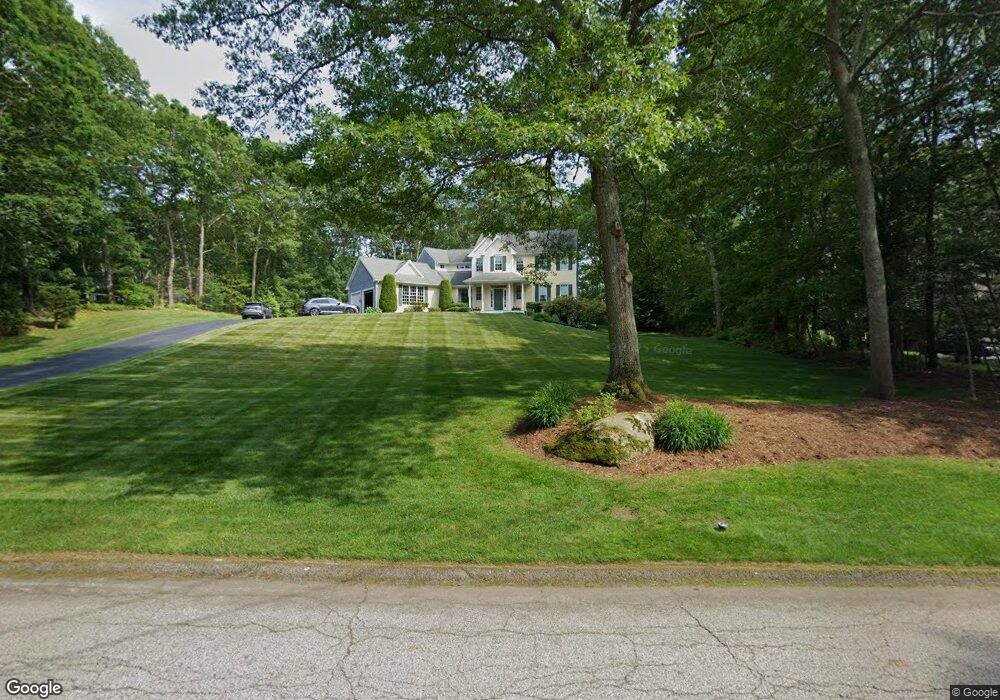
39 Douglas Dr Saunderstown, RI 02874
Saunderstown NeighborhoodEstimated Value: $947,403 - $1,304,000
4
Beds
3
Baths
2,646
Sq Ft
$417/Sq Ft
Est. Value
About This Home
This home is located at 39 Douglas Dr, Saunderstown, RI 02874 and is currently estimated at $1,102,351, approximately $416 per square foot. 39 Douglas Dr is a home located in Washington County with nearby schools including Stony Lane Elementary School, Wickford Middle School, and North Kingstown Sr. High School.
Ownership History
Date
Name
Owned For
Owner Type
Purchase Details
Closed on
Aug 22, 2022
Sold by
Laus Christopher A and Laus Lisa S
Bought by
C A & L A Laus Ret
Current Estimated Value
Purchase Details
Closed on
Mar 1, 1999
Sold by
Heritage Homes Inc
Bought by
Laus Christopher A and Laus Lisa A
Create a Home Valuation Report for This Property
The Home Valuation Report is an in-depth analysis detailing your home's value as well as a comparison with similar homes in the area
Home Values in the Area
Average Home Value in this Area
Purchase History
| Date | Buyer | Sale Price | Title Company |
|---|---|---|---|
| C A & L A Laus Ret | -- | None Available | |
| Laus Christopher A | $328,500 | -- |
Source: Public Records
Mortgage History
| Date | Status | Borrower | Loan Amount |
|---|---|---|---|
| Previous Owner | Laus Christopher A | $352,000 | |
| Previous Owner | Laus Christopher A | $417,000 | |
| Previous Owner | Laus Christopher A | $300,500 | |
| Previous Owner | Laus Christopher A | $25,000 |
Source: Public Records
Tax History
| Year | Tax Paid | Tax Assessment Tax Assessment Total Assessment is a certain percentage of the fair market value that is determined by local assessors to be the total taxable value of land and additions on the property. | Land | Improvement |
|---|---|---|---|---|
| 2025 | $9,553 | $865,300 | $315,000 | $550,300 |
| 2024 | $9,738 | $679,100 | $273,200 | $405,900 |
| 2023 | $9,738 | $679,100 | $273,200 | $405,900 |
| 2022 | $9,548 | $679,100 | $273,200 | $405,900 |
| 2021 | $9,091 | $519,500 | $177,300 | $342,200 |
| 2020 | $8,878 | $519,500 | $177,300 | $342,200 |
| 2019 | $8,878 | $519,500 | $177,300 | $342,200 |
| 2018 | $8,721 | $459,700 | $146,200 | $313,500 |
| 2017 | $8,546 | $459,700 | $146,200 | $313,500 |
| 2016 | $8,302 | $459,700 | $146,200 | $313,500 |
| 2015 | $8,467 | $438,700 | $146,200 | $292,500 |
| 2014 | $2,073 | $438,600 | $146,200 | $292,400 |
Source: Public Records
Map
Nearby Homes
- 247 Glen Hill Dr
- 202 Explorer Dr
- 168 Explorer Dr
- 1003 Slocum Rd
- 71 Woodmist Way
- 604 Stony Fort Rd
- 267 Yawgoo Valley Rd
- 115 Cardinal Dr
- 182 Allegra Ln
- 155 Beechwood Hill Trail
- 299 W Allenton Rd
- 426 S County Trail
- 620 Dry Bridge Rd
- 622 Dry Bridge Rd
- 2424 Tower Hill Rd
- 81 Old Rd N
- 95 S Woods Dr
- 109 Fox Hollow Rd
- 170 Long Ln
- 527 Hatchery Rd
Your Personal Tour Guide
Ask me questions while you tour the home.