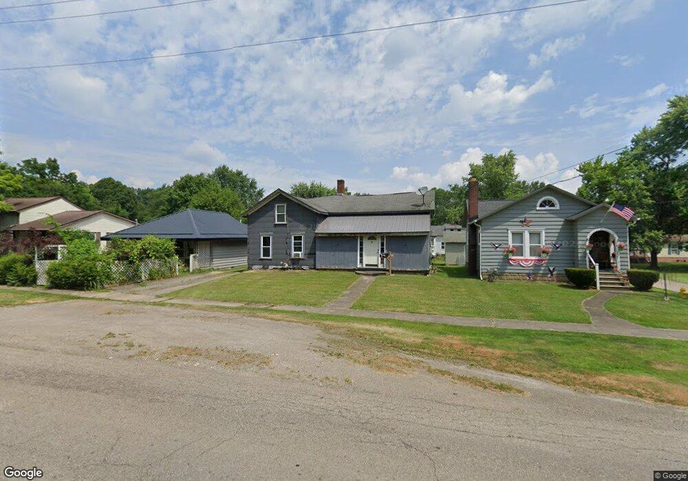
39 E Main St Newton Falls, OH 44444
Estimated Value: $67,112
3
Beds
1
Bath
1,302
Sq Ft
$52/Sq Ft
Est. Value
About This Home
This home is located at 39 E Main St, Newton Falls, OH 44444 and is currently priced at $67,112, approximately $51 per square foot. 39 E Main St is a home located in Trumbull County with nearby schools including Newton Falls Middle School, Newton Falls Junior High School, and Newton Falls High School.
Ownership History
Date
Name
Owned For
Owner Type
Purchase Details
Closed on
Sep 11, 2008
Sold by
Futula Kimberly
Bought by
Futula John S
Current Estimated Value
Purchase Details
Closed on
May 17, 2006
Sold by
Fatula Patricia
Bought by
Fatula John S
Purchase Details
Closed on
May 15, 2006
Sold by
Fatula Patricia
Bought by
Fatula John S
Purchase Details
Closed on
Jan 1, 1990
Bought by
Patricia Fatula
Create a Home Valuation Report for This Property
The Home Valuation Report is an in-depth analysis detailing your home's value as well as a comparison with similar homes in the area
Home Values in the Area
Average Home Value in this Area
Purchase History
We collect this data history from publicly available records. To have your information removed, we recommend requesting removal directly through your county’s website.
| Date | Buyer | Sale Price | Title Company |
|---|---|---|---|
| Futula John S | -- | Bauman Land Title Agency Inc | |
| Fatula John S | -- | None Available | |
| Fatula John S | -- | None Available | |
| Patricia Fatula | -- | -- |
Source: Public Records
Tax History
| Year | Tax Paid | Tax Assessment Tax Assessment Total Assessment is a certain percentage of the fair market value that is determined by local assessors to be the total taxable value of land and additions on the property. | Land | Improvement |
|---|---|---|---|---|
| 2025 | $586 | $13,380 | $3,400 | $9,980 |
| 2024 | $586 | $13,380 | $3,400 | $9,980 |
| 2023 | $582 | $13,380 | $3,400 | $9,980 |
| 2022 | $532 | $10,580 | $3,400 | $7,180 |
| 2021 | $564 | $10,580 | $3,400 | $7,180 |
| 2020 | $523 | $10,580 | $3,400 | $7,180 |
| 2019 | $534 | $10,160 | $3,400 | $6,760 |
| 2018 | $519 | $10,160 | $3,400 | $6,760 |
| 2017 | $518 | $10,160 | $3,400 | $6,760 |
| 2016 | $501 | $9,840 | $3,400 | $6,440 |
| 2015 | $499 | $9,840 | $3,400 | $6,440 |
| 2014 | $434 | $9,840 | $3,400 | $6,440 |
| 2013 | $433 | $10,470 | $3,400 | $7,070 |
Source: Public Records
Map
Nearby Homes
- 24 E Main St
- 111 Albert St
- 183 Albert St
- 726 Artesian Ave
- 611 N Canal St
- 1106 Warren Rd
- 4862 Grand Blvd
- 356 Garfield St
- 17 E Franklin St
- 321 Adams St
- 719 Ticknor Ave
- 513 Russell St
- 344 Arlington Blvd
- 328 Oak Knoll Ave
- 1835 Windham Rd
- 2254 Milton Blvd
- 0000 State Route 534
- 0 State Route 5 Unit 5085736
- 5580 Charleston Rd
- 1029 Woodglen Ave
Your Personal Tour Guide
Ask me questions while you tour the home.