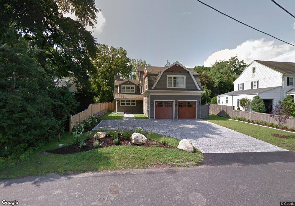
39 E Maple St New Canaan, CT 06840
Estimated Value: $1,723,000 - $2,704,422
5
Beds
2
Baths
2,394
Sq Ft
$1,006/Sq Ft
Est. Value
About This Home
This home is located at 39 E Maple St, New Canaan, CT 06840 and is currently estimated at $2,409,106, approximately $1,006 per square foot. 39 E Maple St is a home located in Fairfield County with nearby schools including South Elementary School, Saxe Middle School, and New Canaan High School.
Ownership History
Date
Name
Owned For
Owner Type
Purchase Details
Closed on
Apr 12, 2016
Sold by
Murphy Patrick
Bought by
Malin Donald and Malin Dolores
Current Estimated Value
Purchase Details
Closed on
Nov 18, 1996
Sold by
Bruno Marjorie D and Ryan Nancy T
Bought by
Murphy Patricia J and Merritt-Murphy Tricia
Home Financials for this Owner
Home Financials are based on the most recent Mortgage that was taken out on this home.
Original Mortgage
$266,000
Interest Rate
6.38%
Mortgage Type
Unknown
Create a Home Valuation Report for This Property
The Home Valuation Report is an in-depth analysis detailing your home's value as well as a comparison with similar homes in the area
Home Values in the Area
Average Home Value in this Area
Purchase History
| Date | Buyer | Sale Price | Title Company |
|---|---|---|---|
| Malin Donald | $880,000 | -- | |
| Murphy Patricia J | $280,000 | -- |
Source: Public Records
Mortgage History
| Date | Status | Borrower | Loan Amount |
|---|---|---|---|
| Previous Owner | Murphy Patricia J | $150,000 | |
| Previous Owner | Murphy Patricia J | $264,000 | |
| Previous Owner | Murphy Patricia J | $266,000 |
Source: Public Records
Tax History
| Year | Tax Paid | Tax Assessment Tax Assessment Total Assessment is a certain percentage of the fair market value that is determined by local assessors to be the total taxable value of land and additions on the property. | Land | Improvement |
|---|---|---|---|---|
| 2025 | $23,901 | $1,432,060 | $639,450 | $792,610 |
| 2024 | $23,113 | $1,432,060 | $639,450 | $792,610 |
| 2023 | $23,700 | $1,251,320 | $564,620 | $686,700 |
| 2022 | $23,659 | $1,287,930 | $564,620 | $723,310 |
| 2021 | $23,389 | $1,287,930 | $564,620 | $723,310 |
| 2020 | $23,389 | $1,287,930 | $564,620 | $723,310 |
| 2019 | $20,594 | $1,129,030 | $564,620 | $564,410 |
| 2018 | $14,770 | $838,810 | $522,830 | $315,980 |
| 2017 | $9,039 | $522,830 | $522,830 | $0 |
| 2016 | $10,168 | $601,790 | $522,830 | $78,960 |
Source: Public Records
Map
Nearby Homes
- 28 E Maple St Unit 28
- 27 Raymond St
- 205 Main St Unit 33
- 15 Burtis Ave Unit West Plaza 203
- 15 Burtis Ave Unit Townhome B
- 15 Burtis Ave Unit West Penthouse B
- 15 Burtis Ave Unit East Penthouse C
- 15 Burtis Ave Unit East Penthouse D
- 15 Burtis Ave Unit East Plaza 203
- 15 Burtis Ave Unit Townhome C
- 15 Burtis Ave Unit East Plaza 206
- 100 South Ave
- 60 East Ave
- 302 Gramercy Park Unit 302
- 83 South Ave Unit C
- 164 Summer St Unit A
- 160 Park St Unit 102
- 77 Locust Ave Unit 124
- 100 Harrison Ave
- 50 Harrison Ave
Your Personal Tour Guide
Ask me questions while you tour the home.