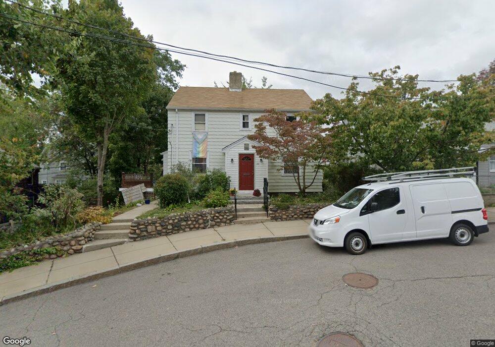
39 Eastland Rd Jamaica Plain, MA 02130
Jamaica Plain NeighborhoodEstimated Value: $860,077 - $1,147,000
4
Beds
2
Baths
1,587
Sq Ft
$600/Sq Ft
Est. Value
About This Home
This home is located at 39 Eastland Rd, Jamaica Plain, MA 02130 and is currently estimated at $951,769, approximately $599 per square foot. 39 Eastland Rd is a home located in Suffolk County with nearby schools including Brooke Charter School Roslindale, The Croft School - Jamaica Plain, and St. Clare High School.
Ownership History
Date
Name
Owned For
Owner Type
Purchase Details
Closed on
Aug 9, 2010
Sold by
Olson David P and Olson Michael Alice
Bought by
Aho Kris and Aho Catherine
Current Estimated Value
Home Financials for this Owner
Home Financials are based on the most recent Mortgage that was taken out on this home.
Original Mortgage
$352,000
Outstanding Balance
$234,931
Interest Rate
4.73%
Mortgage Type
Purchase Money Mortgage
Estimated Equity
$716,838
Purchase Details
Closed on
May 25, 2001
Sold by
Welter Mary L
Bought by
Olson David P
Home Financials for this Owner
Home Financials are based on the most recent Mortgage that was taken out on this home.
Original Mortgage
$124,000
Interest Rate
7.05%
Mortgage Type
Purchase Money Mortgage
Create a Home Valuation Report for This Property
The Home Valuation Report is an in-depth analysis detailing your home's value as well as a comparison with similar homes in the area
Home Values in the Area
Average Home Value in this Area
Purchase History
| Date | Buyer | Sale Price | Title Company |
|---|---|---|---|
| Aho Kris | $440,000 | -- | |
| Olson David P | $280,000 | -- |
Source: Public Records
Mortgage History
| Date | Status | Borrower | Loan Amount |
|---|---|---|---|
| Open | Aho Kris | $352,000 | |
| Previous Owner | Olson David P | $124,000 | |
| Closed | Olson David P | $100,000 |
Source: Public Records
Tax History Compared to Growth
Tax History
| Year | Tax Paid | Tax Assessment Tax Assessment Total Assessment is a certain percentage of the fair market value that is determined by local assessors to be the total taxable value of land and additions on the property. | Land | Improvement |
|---|---|---|---|---|
| 2025 | $8,607 | $743,300 | $225,100 | $518,200 |
| 2024 | $8,957 | $821,700 | $215,900 | $605,800 |
| 2023 | $8,245 | $767,700 | $201,700 | $566,000 |
| 2022 | $7,661 | $704,100 | $185,000 | $519,100 |
| 2021 | $7,294 | $683,600 | $179,600 | $504,000 |
| 2020 | $6,016 | $569,700 | $175,400 | $394,300 |
| 2019 | $5,720 | $542,700 | $143,400 | $399,300 |
| 2018 | $5,078 | $484,500 | $143,400 | $341,100 |
| 2017 | $5,031 | $475,100 | $143,400 | $331,700 |
| 2016 | $5,124 | $465,800 | $143,400 | $322,400 |
| 2015 | $5,078 | $419,300 | $137,900 | $281,400 |
| 2014 | $4,619 | $367,200 | $137,900 | $229,300 |
Source: Public Records
Map
Nearby Homes
- 50 Southbourne Rd
- 31 Rodman St Unit 2
- 31 Rodman St Unit 1
- 18-20 Northbourne Rd Unit 18
- 348-350 Hyde Park Ave Unit 2
- 158 Wachusett St Unit 3
- 140 Wachusett St
- 24 Waterman Rd
- 71 Wyvern St
- 105 Neponset Ave Unit 105
- 178 Hyde Park Ave Unit 3
- 103 Neponset Ave Unit 103A
- 103-105 Neponset Ave
- 36 Neponset Ave Unit 1
- 602 Canterbury St Unit 14
- 602 Canterbury St Unit 4
- 602 Canterbury St Unit 5
- 602 Canterbury St Unit 2
- 602 Canterbury St Unit 9
- 143-171 Hyde Park Ave Unit 169A