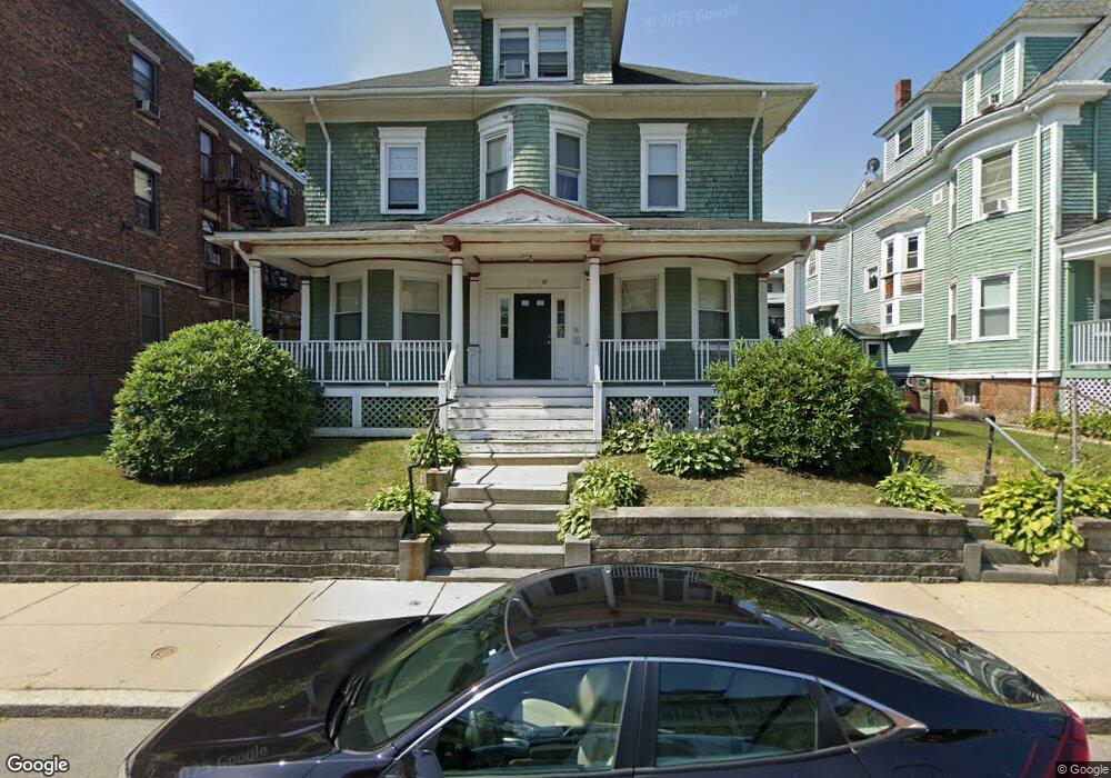
39 Esmond St Dorchester, MA 02121
Franklin Field North NeighborhoodEstimated Value: $731,000 - $914,590
7
Beds
3
Baths
3,890
Sq Ft
$214/Sq Ft
Est. Value
About This Home
This home is located at 39 Esmond St, Dorchester, MA 02121 and is currently estimated at $832,648, approximately $214 per square foot. 39 Esmond St is a home located in Suffolk County with nearby schools including UP Academy Charter School of Dorchester, Codman Academy Charter Public School, and Mother Caroline Academy & Education Center.
Ownership History
Date
Name
Owned For
Owner Type
Purchase Details
Closed on
May 28, 1996
Sold by
Cardinals Rehab Inc
Bought by
Viarruel Heidi A
Current Estimated Value
Home Financials for this Owner
Home Financials are based on the most recent Mortgage that was taken out on this home.
Original Mortgage
$53,150
Outstanding Balance
$3,399
Interest Rate
8.01%
Mortgage Type
Purchase Money Mortgage
Estimated Equity
$829,249
Create a Home Valuation Report for This Property
The Home Valuation Report is an in-depth analysis detailing your home's value as well as a comparison with similar homes in the area
Home Values in the Area
Average Home Value in this Area
Purchase History
| Date | Buyer | Sale Price | Title Company |
|---|---|---|---|
| Viarruel Heidi A | $115,000 | -- |
Source: Public Records
Mortgage History
| Date | Status | Borrower | Loan Amount |
|---|---|---|---|
| Open | Viarruel Heidi A | $53,150 | |
| Previous Owner | Viarruel Heidi A | $221,340 | |
| Closed | Viarruel Heidi A | $14,150 |
Source: Public Records
Tax History Compared to Growth
Tax History
| Year | Tax Paid | Tax Assessment Tax Assessment Total Assessment is a certain percentage of the fair market value that is determined by local assessors to be the total taxable value of land and additions on the property. | Land | Improvement |
|---|---|---|---|---|
| 2025 | $9,041 | $780,700 | $255,900 | $524,800 |
| 2024 | $8,369 | $767,800 | $266,100 | $501,700 |
| 2023 | $7,781 | $724,500 | $251,100 | $473,400 |
| 2022 | $7,167 | $658,700 | $228,300 | $430,400 |
| 2021 | $6,693 | $627,300 | $217,400 | $409,900 |
| 2020 | $6,425 | $608,400 | $210,300 | $398,100 |
| 2019 | $5,576 | $529,000 | $161,400 | $367,600 |
| 2018 | $5,040 | $480,900 | $161,400 | $319,500 |
| 2017 | $5,093 | $480,900 | $161,400 | $319,500 |
| 2016 | $5,136 | $466,900 | $161,400 | $305,500 |
| 2015 | $4,454 | $367,800 | $110,100 | $257,700 |
| 2014 | $4,116 | $327,200 | $110,100 | $217,100 |
Source: Public Records
Map
Nearby Homes
- 41 Charlotte St
- 7-9 Esmond St
- 35 Bradshaw St
- 54 Bicknell St Unit 3
- 54 Bicknell St Unit 2
- 54 Bicknell St Unit 1
- 52 Bicknell St
- 27 Bradshaw St
- 88 Esmond St
- 52 Mclellan St
- 21 Mclellan St
- 15 Mclellan St
- 74 Glenway St
- 88 Wales St Unit 3
- 15 Nightingale St
- 69 Greenwood St
- 81 Kingsdale St
- 104 Nightingale St
- 64 Greenwood St
- 72 Kingsdale St
- 35 Esmond St
- 35 Esmond St Unit 1
- 47 Esmond St
- 16 Wales St
- 29 Esmond St Unit 1L
- 14 Wales St
- 42 Esmond St
- 42 Esmond St Unit 2
- 42 Esmond St Unit 1
- 38 Esmond St
- 34 Esmond St
- 46 Esmond St
- 46 Esmond St Unit 2
- 46 Esmond St Unit 3
- 25 Esmond St
- 51 Esmond St
- 51 Esmond St
- 23 Esmond St Unit 25
- 30 Esmond St
- 50 Esmond St