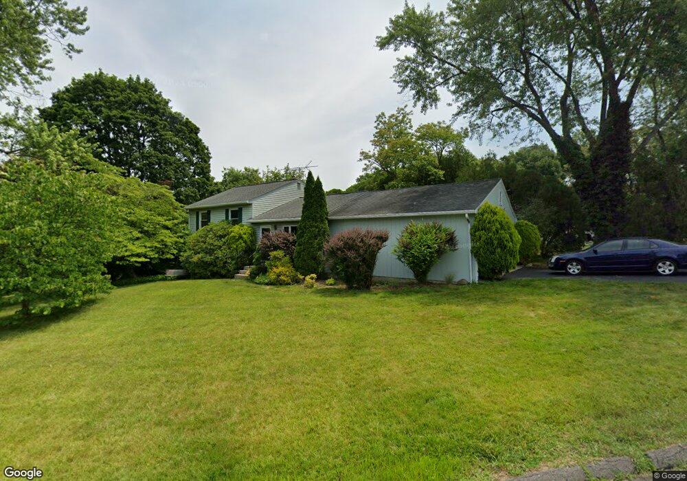
39 Esquire Rd Norwalk, CT 06851
Woods Pond NeighborhoodEstimated Value: $641,070 - $730,000
3
Beds
2
Baths
1,092
Sq Ft
$619/Sq Ft
Est. Value
About This Home
This home is located at 39 Esquire Rd, Norwalk, CT 06851 and is currently estimated at $675,768, approximately $618 per square foot. 39 Esquire Rd is a home located in Fairfield County with nearby schools including Tracey School, West Rocks Middle School, and Norwalk High School.
Ownership History
Date
Name
Owned For
Owner Type
Purchase Details
Closed on
May 29, 1998
Sold by
Colica James and Colica Linsa M
Bought by
Purcell Barry K and Suarez Monica M
Current Estimated Value
Home Financials for this Owner
Home Financials are based on the most recent Mortgage that was taken out on this home.
Original Mortgage
$184,000
Interest Rate
7.12%
Mortgage Type
Unknown
Purchase Details
Closed on
Apr 30, 1997
Sold by
Nellis Joseph A and Nellis Ann R
Bought by
Colica James A and Colica Lisa
Purchase Details
Closed on
Sep 25, 1992
Sold by
Roberts Sally and Roberts John
Bought by
Nellis Joseph and Nellis Ann
Create a Home Valuation Report for This Property
The Home Valuation Report is an in-depth analysis detailing your home's value as well as a comparison with similar homes in the area
Home Values in the Area
Average Home Value in this Area
Purchase History
| Date | Buyer | Sale Price | Title Company |
|---|---|---|---|
| Purcell Barry K | $230,000 | -- | |
| Purcell Barry K | $230,000 | -- | |
| Colica James A | $210,000 | -- | |
| Colica James A | $210,000 | -- | |
| Nellis Joseph | $199,500 | -- | |
| Nellis Joseph | $199,500 | -- |
Source: Public Records
Mortgage History
| Date | Status | Borrower | Loan Amount |
|---|---|---|---|
| Open | Nellis Joseph | $138,907 | |
| Closed | Nellis Joseph | $178,000 | |
| Closed | Nellis Joseph | $184,000 |
Source: Public Records
Tax History
| Year | Tax Paid | Tax Assessment Tax Assessment Total Assessment is a certain percentage of the fair market value that is determined by local assessors to be the total taxable value of land and additions on the property. | Land | Improvement |
|---|---|---|---|---|
| 2025 | $8,494 | $354,710 | $189,960 | $164,750 |
| 2024 | $8,368 | $354,710 | $189,960 | $164,750 |
| 2023 | $6,739 | $267,850 | $145,110 | $122,740 |
| 2022 | $6,614 | $267,850 | $145,110 | $122,740 |
| 2021 | $6,442 | $267,850 | $145,110 | $122,740 |
| 2020 | $6,438 | $267,850 | $145,110 | $122,740 |
| 2019 | $6,258 | $267,850 | $145,110 | $122,740 |
| 2018 | $6,833 | $256,280 | $150,640 | $105,640 |
| 2017 | $6,598 | $256,280 | $150,640 | $105,640 |
| 2016 | $6,801 | $266,720 | $150,640 | $116,080 |
| 2015 | $6,517 | $256,280 | $150,640 | $105,640 |
| 2014 | $6,433 | $256,280 | $150,640 | $105,640 |
Source: Public Records
Map
Nearby Homes
- 206 Sunrise Hill Rd Unit 206
- 226 Sunrise Hill Rd Unit 226
- 75 Newtown Ave
- 178 Sunrise Hill Rd
- 34 Sunrise Hill Rd
- 6 Clara Dr
- 3 Stonybrook Rd
- 71 Aiken St Unit M1
- 71 Aiken St Unit C8
- 152 E Rocks Rd
- 50 Aiken St Unit 253
- 11 Margaret St
- 5 Tod Rd
- 10 Merrill Rd
- 37 Murray St
- 71 Saddle Rd
- 3 Woodley Ln
- 4 Union Ave Unit 24
- 2 Woodley Ln
- 1 Linden St Unit A-9
Your Personal Tour Guide
Ask me questions while you tour the home.