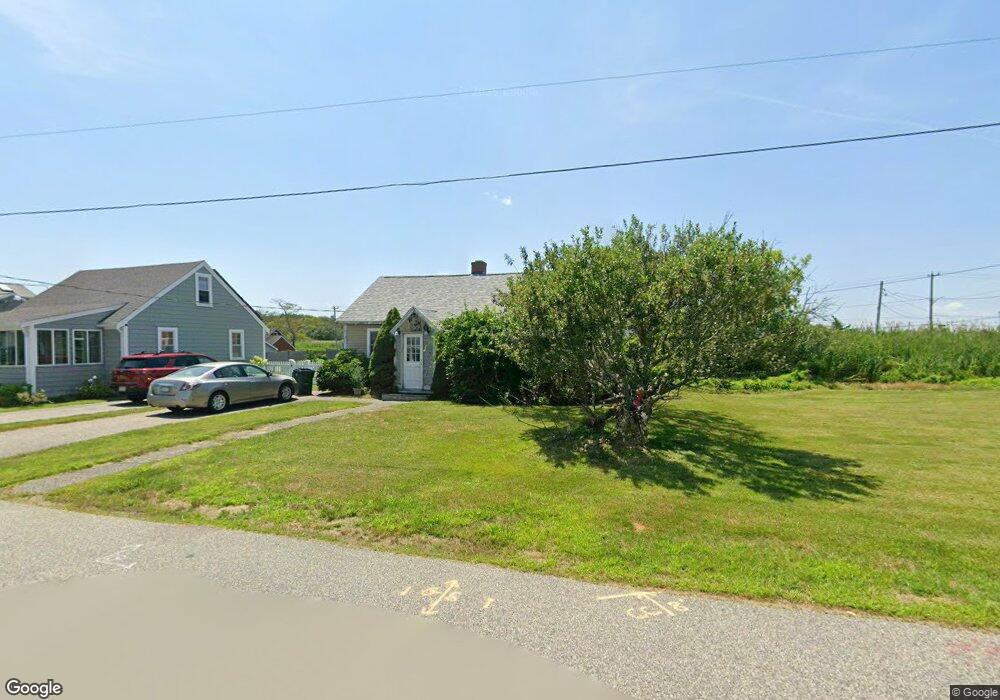
39 Everson Rd Marshfield, MA 02050
Ocean Bluff-Brant Rock NeighborhoodEstimated Value: $400,000 - $513,000
2
Beds
1
Bath
680
Sq Ft
$668/Sq Ft
Est. Value
About This Home
This home is located at 39 Everson Rd, Marshfield, MA 02050 and is currently estimated at $454,058, approximately $667 per square foot. 39 Everson Rd is a home located in Plymouth County with nearby schools including Daniel Webster, Furnace Brook Middle School, and Marshfield High School.
Ownership History
Date
Name
Owned For
Owner Type
Purchase Details
Closed on
Jun 4, 1996
Sold by
Bergin Charles J
Bought by
Mooney Anne M
Current Estimated Value
Create a Home Valuation Report for This Property
The Home Valuation Report is an in-depth analysis detailing your home's value as well as a comparison with similar homes in the area
Home Values in the Area
Average Home Value in this Area
Purchase History
| Date | Buyer | Sale Price | Title Company |
|---|---|---|---|
| Mooney Anne M | $78,000 | -- |
Source: Public Records
Mortgage History
| Date | Status | Borrower | Loan Amount |
|---|---|---|---|
| Open | Mooney Anne M | $20,000 | |
| Open | Mooney Anne M | $185,000 | |
| Closed | Mooney Anne M | $150,000 |
Source: Public Records
Tax History
| Year | Tax Paid | Tax Assessment Tax Assessment Total Assessment is a certain percentage of the fair market value that is determined by local assessors to be the total taxable value of land and additions on the property. | Land | Improvement |
|---|---|---|---|---|
| 2025 | $3,901 | $394,000 | $317,600 | $76,400 |
| 2024 | $3,884 | $373,800 | $297,800 | $76,000 |
| 2023 | $3,695 | $330,200 | $268,000 | $62,200 |
| 2022 | $3,695 | $285,300 | $228,300 | $57,000 |
| 2021 | $3,563 | $270,100 | $218,400 | $51,700 |
| 2020 | $3,167 | $237,600 | $188,600 | $49,000 |
| 2019 | $3,144 | $235,000 | $188,600 | $46,400 |
| 2018 | $3,142 | $235,000 | $188,600 | $46,400 |
| 2017 | $2,979 | $217,100 | $178,700 | $38,400 |
| 2016 | $2,875 | $207,100 | $168,700 | $38,400 |
| 2015 | $2,752 | $207,100 | $168,700 | $38,400 |
| 2014 | $2,884 | $217,000 | $168,700 | $48,300 |
Source: Public Records
Map
Nearby Homes
- 35 Everson Rd
- 318 Plymouth Ave
- 31 Everson Rd
- 316 Plymouth Ave
- 13 W Brook St
- 36 Everson Rd
- 40 Everson Rd
- 40 Everson Rd
- 51 Everson Rd
- 27 Everson Rd
- 308 Plymouth Ave
- 30 Everson Rd
- 330 Plymouth Ave
- 23 Everson Rd
- 55 Everson Rd
- 14 W Brook St
- 28 Everson Rd
- 304 Plymouth Ave Unit Avenue
- 304 Plymouth Ave
- 334 Plymouth Ave
Your Personal Tour Guide
Ask me questions while you tour the home.