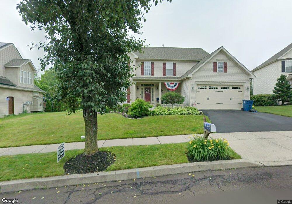
39 Firethorn Dr Perkasie, PA 18944
East Rockhill NeighborhoodEstimated Value: $660,000 - $751,000
4
Beds
3
Baths
2,638
Sq Ft
$262/Sq Ft
Est. Value
About This Home
This home is located at 39 Firethorn Dr, Perkasie, PA 18944 and is currently estimated at $690,536, approximately $261 per square foot. 39 Firethorn Dr is a home located in Bucks County with nearby schools including Pennridge High School and Community Service Foundation.
Ownership History
Date
Name
Owned For
Owner Type
Purchase Details
Closed on
Dec 19, 2001
Sold by
Nvr Inc
Bought by
Martenak Daniel J and Martenak Janet A
Current Estimated Value
Home Financials for this Owner
Home Financials are based on the most recent Mortgage that was taken out on this home.
Original Mortgage
$240,000
Outstanding Balance
$95,659
Interest Rate
6.84%
Estimated Equity
$594,877
Purchase Details
Closed on
Sep 21, 2001
Sold by
Heritage Country Hunt Lp
Bought by
Nvr Inc and Ryan Homes
Create a Home Valuation Report for This Property
The Home Valuation Report is an in-depth analysis detailing your home's value as well as a comparison with similar homes in the area
Home Values in the Area
Average Home Value in this Area
Purchase History
| Date | Buyer | Sale Price | Title Company |
|---|---|---|---|
| Martenak Daniel J | $314,315 | -- | |
| Nvr Inc | $43,300 | -- |
Source: Public Records
Mortgage History
| Date | Status | Borrower | Loan Amount |
|---|---|---|---|
| Open | Martenak Daniel J | $240,000 |
Source: Public Records
Tax History Compared to Growth
Tax History
| Year | Tax Paid | Tax Assessment Tax Assessment Total Assessment is a certain percentage of the fair market value that is determined by local assessors to be the total taxable value of land and additions on the property. | Land | Improvement |
|---|---|---|---|---|
| 2025 | $8,418 | $48,120 | $6,360 | $41,760 |
| 2024 | $8,418 | $48,120 | $6,360 | $41,760 |
| 2023 | $8,322 | $48,120 | $6,360 | $41,760 |
| 2022 | $8,322 | $48,120 | $6,360 | $41,760 |
| 2021 | $8,322 | $48,120 | $6,360 | $41,760 |
| 2020 | $8,322 | $48,120 | $6,360 | $41,760 |
| 2019 | $8,274 | $48,120 | $6,360 | $41,760 |
| 2018 | $8,178 | $48,120 | $6,360 | $41,760 |
| 2017 | $8,117 | $48,120 | $6,360 | $41,760 |
| 2016 | $8,117 | $48,120 | $6,360 | $41,760 |
| 2015 | -- | $48,120 | $6,360 | $41,760 |
| 2014 | -- | $48,120 | $6,360 | $41,760 |
Source: Public Records
Map
Nearby Homes
- 1200 Branch Rd
- 618 S Perkasie Rd
- 1310 Branch Rd
- 132 Strawberry Ln
- 156 Strawberry Ln
- 512 Campus Dr
- Lot Callowhill Rd
- 330 Connor Ln
- 424 Dorchester Ln
- 588 Campus Dr
- 137 Sunnyside Ln
- 28 Bryant Dr
- 508 Telegraph Rd
- 1209 Telegraph Rd
- 1032 N 7th St
- 326 N 5th St
- 3 S Hamilton Ave
- 131 Misty Meadow
- 1622 Branch Rd
- 124 S Main St
- 37 Firethorn Dr
- 41 Firethorn Dr
- 44 Firethorn Dr
- 42 Firethorn Dr
- 43 Firethorn Dr
- 40 Firethorn Dr
- 38 Firethorn Dr
- 17 Lark Ln
- 1316 Seven Corner Rd
- 0 Seven Corner Rd Unit 6310091
- 15 Lark Ln
- 36 Firethorn Dr
- 31 Arrowwood Dr
- 33 Arrowwood Dr
- 29 Arrowwood Dr
- 13 Lark Ln
- 27 Arrowwood Dr
- 11 Lark Ln
- 1405 Seven Corner Rd
- 1406 Seven Corner Rd