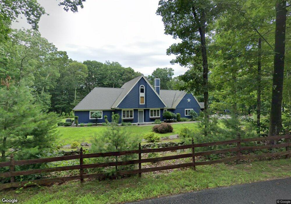
39 Firetower Rd Killingworth, CT 06419
Estimated Value: $823,305 - $988,000
4
Beds
4
Baths
2,952
Sq Ft
$297/Sq Ft
Est. Value
About This Home
This home is located at 39 Firetower Rd, Killingworth, CT 06419 and is currently estimated at $875,326, approximately $296 per square foot. 39 Firetower Rd is a home located in Middlesex County with nearby schools including Haddam-Killingworth High School and Haddam-Killingworth Intermediate School.
Ownership History
Date
Name
Owned For
Owner Type
Purchase Details
Closed on
Apr 5, 2007
Sold by
Moran A Lawrence and Moran Nancy Ann
Bought by
Popp William and Popp Michelle
Current Estimated Value
Create a Home Valuation Report for This Property
The Home Valuation Report is an in-depth analysis detailing your home's value as well as a comparison with similar homes in the area
Home Values in the Area
Average Home Value in this Area
Purchase History
| Date | Buyer | Sale Price | Title Company |
|---|---|---|---|
| Popp William | $635,000 | -- |
Source: Public Records
Mortgage History
| Date | Status | Borrower | Loan Amount |
|---|---|---|---|
| Open | Popp William | $84,700 | |
| Open | Popp William | $372,737 | |
| Closed | Popp William | $50,000 | |
| Closed | Popp William | $394,175 |
Source: Public Records
Tax History
| Year | Tax Paid | Tax Assessment Tax Assessment Total Assessment is a certain percentage of the fair market value that is determined by local assessors to be the total taxable value of land and additions on the property. | Land | Improvement |
|---|---|---|---|---|
| 2025 | $10,566 | $402,990 | $66,500 | $336,490 |
| 2024 | $9,760 | $402,990 | $66,500 | $336,490 |
| 2023 | $9,458 | $402,990 | $66,500 | $336,490 |
| 2022 | $9,357 | $402,990 | $66,500 | $336,490 |
| 2021 | $8,272 | $309,570 | $70,000 | $239,570 |
| 2020 | $8,272 | $309,570 | $70,000 | $239,570 |
| 2019 | $8,504 | $309,570 | $70,000 | $239,570 |
| 2018 | $8,504 | $309,570 | $70,000 | $239,570 |
| 2017 | $8,504 | $309,570 | $70,000 | $239,570 |
| 2016 | $7,376 | $284,910 | $105,000 | $179,910 |
| 2015 | $7,188 | $284,910 | $105,000 | $179,910 |
| 2014 | $6,989 | $284,910 | $105,000 | $179,910 |
Source: Public Records
Map
Nearby Homes
- 10 Whitewood Rd
- 33 Whitewood Rd
- 115 Hemlock Dr
- 511 Route 81
- 262 Connecticut 81
- 279 Roast Meat Hill Rd
- 17 Colonial Dr
- 559 Route 81
- 179 Route 81
- 4 Hunters Ridge Rd
- 30 Chestnut Hill Rd
- 672 Route 81
- 38 Beech Tree Ridge
- 579 Route 148
- 174 Concord Dr
- 214 Green Hill Rd
- 25 Williamsburg Cir
- 538 Winthrop Rd
- 15 Hazen St
- 91 Legend Hill Rd Unit 91
- 35 Firetower Rd
- 38 Firetower Rd
- 2 Boulder Trail
- 4 Boulder Trail
- 48 Firetower Rd
- 1 Boulder Trail
- 32 Boulder Trail
- 3 Boulder Trail
- 10 Boulder Trail
- 4 Upper Boulder Trail
- 5 Boulder Trail
- 12 Boulder Trail
- 28 Boulder Trail
- 20 Boulder Trail
- 27 Boulder Trail
- 16 Boulder Trail
- 41 Boulder Trail
- 45 Boulder Trail
- 26 Boulder Trail
- 25 Boulder Trail
Your Personal Tour Guide
Ask me questions while you tour the home.