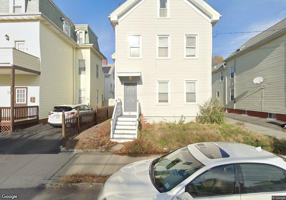
39 Flint St Unit 1 Somerville, MA 02145
East Somerville NeighborhoodEstimated Value: $988,000 - $1,364,000
2
Beds
2
Baths
982
Sq Ft
$1,158/Sq Ft
Est. Value
About This Home
This home is located at 39 Flint St Unit 1, Somerville, MA 02145 and is currently estimated at $1,137,495, approximately $1,158 per square foot. 39 Flint St Unit 1 is a home located in Middlesex County with nearby schools including Somerville High School, Prospect Hill Academy Upper Elementary Campus, and Bright Future Educare Center.
Ownership History
Date
Name
Owned For
Owner Type
Purchase Details
Closed on
Jul 16, 2021
Sold by
Toner Thomas J Est
Bought by
Buchanan Justin T
Current Estimated Value
Home Financials for this Owner
Home Financials are based on the most recent Mortgage that was taken out on this home.
Original Mortgage
$877,500
Outstanding Balance
$796,195
Interest Rate
2.9%
Mortgage Type
Purchase Money Mortgage
Estimated Equity
$341,300
Purchase Details
Closed on
Sep 30, 1993
Sold by
Cabral Ft and Deteso Mark E
Bought by
Toner Thomas J
Home Financials for this Owner
Home Financials are based on the most recent Mortgage that was taken out on this home.
Original Mortgage
$100,800
Interest Rate
7%
Mortgage Type
Purchase Money Mortgage
Create a Home Valuation Report for This Property
The Home Valuation Report is an in-depth analysis detailing your home's value as well as a comparison with similar homes in the area
Home Values in the Area
Average Home Value in this Area
Purchase History
| Date | Buyer | Sale Price | Title Company |
|---|---|---|---|
| Buchanan Justin T | $975,000 | None Available | |
| Toner Thomas J | $112,000 | -- |
Source: Public Records
Mortgage History
| Date | Status | Borrower | Loan Amount |
|---|---|---|---|
| Open | Buchanan Justin T | $877,500 | |
| Previous Owner | Toner Thomas J | $76,000 | |
| Previous Owner | Toner Thomas J | $100,800 |
Source: Public Records
Tax History Compared to Growth
Tax History
| Year | Tax Paid | Tax Assessment Tax Assessment Total Assessment is a certain percentage of the fair market value that is determined by local assessors to be the total taxable value of land and additions on the property. | Land | Improvement |
|---|---|---|---|---|
| 2025 | $10,007 | $917,200 | $428,400 | $488,800 |
| 2024 | $9,363 | $890,000 | $428,400 | $461,600 |
| 2023 | $9,122 | $882,200 | $428,400 | $453,800 |
| 2022 | $8,534 | $838,300 | $407,900 | $430,400 |
| 2021 | $8,169 | $801,700 | $402,400 | $399,300 |
| 2020 | $7,716 | $764,700 | $386,900 | $377,800 |
| 2019 | $6,962 | $647,000 | $321,000 | $326,000 |
| 2018 | $6,121 | $541,200 | $256,600 | $284,600 |
| 2017 | $5,886 | $504,400 | $242,100 | $262,300 |
| 2016 | $5,289 | $422,100 | $170,100 | $252,000 |
| 2015 | $5,287 | $419,300 | $169,200 | $250,100 |
Source: Public Records
Map
Nearby Homes
- 84 Cross St
- 2 Hillside Ave
- 36 Fountain Ave
- 147 - 149 Pearl
- 19 Everett Ave
- 18 Otis St
- 14 Bonair St Unit 14
- 57 Myrtle St
- 34 Knowlton St Unit 2
- 16 Bonair St
- 39 Gilman St
- 76 Franklin St
- 38 Franklin Ave
- 25 Auburn Ave Unit 2
- 36 Everett Ave
- 9 Cross St
- 4 Cross St
- 142 Cross St
- 3 Franklin St Unit A
- 3 Franklin St Unit C