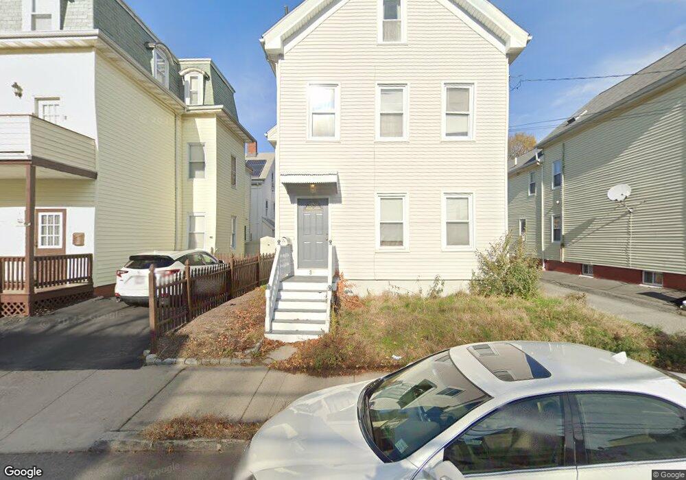
39 Flint St Somerville, MA 02145
East Somerville NeighborhoodEstimated Value: $991,000 - $1,261,000
2
Beds
2
Baths
982
Sq Ft
$1,133/Sq Ft
Est. Value
About This Home
large basement private storage room in the basement. Front deck exclusive for this apartment.
Ownership History
Date
Name
Owned For
Owner Type
Purchase Details
Closed on
Jul 16, 2021
Sold by
Toner Thomas J Est
Bought by
Buchanan Justin T
Current Estimated Value
Home Financials for this Owner
Home Financials are based on the most recent Mortgage that was taken out on this home.
Original Mortgage
$877,500
Outstanding Balance
$796,195
Interest Rate
2.9%
Mortgage Type
Purchase Money Mortgage
Estimated Equity
$316,263
Purchase Details
Closed on
Sep 30, 1993
Sold by
Cabral Ft and Deteso Mark E
Bought by
Toner Thomas J
Home Financials for this Owner
Home Financials are based on the most recent Mortgage that was taken out on this home.
Original Mortgage
$100,800
Interest Rate
7%
Mortgage Type
Purchase Money Mortgage
Create a Home Valuation Report for This Property
The Home Valuation Report is an in-depth analysis detailing your home's value as well as a comparison with similar homes in the area
Home Values in the Area
Average Home Value in this Area
Purchase History
| Date | Buyer | Sale Price | Title Company |
|---|---|---|---|
| Buchanan Justin T | $975,000 | None Available | |
| Toner Thomas J | $112,000 | -- |
Source: Public Records
Mortgage History
| Date | Status | Borrower | Loan Amount |
|---|---|---|---|
| Open | Buchanan Justin T | $877,500 | |
| Previous Owner | Toner Thomas J | $76,000 | |
| Previous Owner | Toner Thomas J | $100,800 |
Source: Public Records
Property History
| Date | Event | Price | List to Sale | Price per Sq Ft |
|---|---|---|---|---|
| 08/31/2024 08/31/24 | For Rent | $2,750 | 0.0% | -- |
| 06/21/2024 06/21/24 | For Rent | $2,750 | -- | -- |
Tax History
| Year | Tax Paid | Tax Assessment Tax Assessment Total Assessment is a certain percentage of the fair market value that is determined by local assessors to be the total taxable value of land and additions on the property. | Land | Improvement |
|---|---|---|---|---|
| 2025 | $10,007 | $917,200 | $428,400 | $488,800 |
| 2024 | $9,363 | $890,000 | $428,400 | $461,600 |
| 2023 | $9,122 | $882,200 | $428,400 | $453,800 |
| 2022 | $8,534 | $838,300 | $407,900 | $430,400 |
| 2021 | $8,169 | $801,700 | $402,400 | $399,300 |
| 2020 | $7,716 | $764,700 | $386,900 | $377,800 |
| 2019 | $6,962 | $647,000 | $321,000 | $326,000 |
| 2018 | $6,121 | $541,200 | $256,600 | $284,600 |
| 2017 | $5,886 | $504,400 | $242,100 | $262,300 |
| 2016 | $5,289 | $422,100 | $170,100 | $252,000 |
| 2015 | $5,287 | $419,300 | $169,200 | $250,100 |
Source: Public Records
Map
Nearby Homes
- 84 Cross St
- 129 Glen St Unit B
- 43 Cross St
- 34 Franklin Ave
- 19 Everett Ave
- 76 Franklin St
- 5 Brook St
- 24 Rush St Unit E
- 142 Cross St
- 14 Bonair St Unit 14
- 25 Alston St
- 74 Gilman St Unit 1
- 3 Franklin St Unit C
- 14 Hamlet St Unit C
- 11 Macarthur St Unit B
- 11 Macarthur St Unit A
- 7 Washington St
- 31 Wisconsin Ave Unit 1
- 78 Mount Vernon St
- 4 George St Unit 1
Your Personal Tour Guide
Ask me questions while you tour the home.