39 Flushing Pond Rd Westford, MA 01886
Estimated Value: $797,713 - $864,000
3
Beds
2
Baths
2,192
Sq Ft
$378/Sq Ft
Est. Value
About This Home
This home is located at 39 Flushing Pond Rd, Westford, MA 01886 and is currently estimated at $828,928, approximately $378 per square foot. 39 Flushing Pond Rd is a home located in Middlesex County with nearby schools including Rita E. Miller Elementary School, Day Elementary School, and Stony Brook School.
Ownership History
Date
Name
Owned For
Owner Type
Purchase Details
Closed on
Mar 23, 2015
Sold by
Rendish Marc and Rendish Abby
Bought by
Marc&Abby Rendish Lt
Current Estimated Value
Purchase Details
Closed on
Oct 15, 2010
Sold by
Avery Donald E and Avery Elizabeth M
Bought by
Rendish Marc and Rendish Abby
Home Financials for this Owner
Home Financials are based on the most recent Mortgage that was taken out on this home.
Original Mortgage
$321,600
Interest Rate
4.36%
Mortgage Type
Purchase Money Mortgage
Create a Home Valuation Report for This Property
The Home Valuation Report is an in-depth analysis detailing your home's value as well as a comparison with similar homes in the area
Home Values in the Area
Average Home Value in this Area
Purchase History
| Date | Buyer | Sale Price | Title Company |
|---|---|---|---|
| Marc&Abby Rendish Lt | -- | -- | |
| Rendish Marc | $402,000 | -- |
Source: Public Records
Mortgage History
| Date | Status | Borrower | Loan Amount |
|---|---|---|---|
| Previous Owner | Rendish Marc | $321,600 |
Source: Public Records
Tax History Compared to Growth
Tax History
| Year | Tax Paid | Tax Assessment Tax Assessment Total Assessment is a certain percentage of the fair market value that is determined by local assessors to be the total taxable value of land and additions on the property. | Land | Improvement |
|---|---|---|---|---|
| 2025 | $8,916 | $647,500 | $336,700 | $310,800 |
| 2024 | $8,916 | $647,500 | $336,700 | $310,800 |
| 2023 | $8,669 | $587,300 | $320,600 | $266,700 |
| 2022 | $8,444 | $523,800 | $273,400 | $250,400 |
| 2021 | $8,110 | $487,400 | $273,400 | $214,000 |
| 2020 | $7,964 | $487,700 | $273,400 | $214,300 |
| 2019 | $4,783 | $444,300 | $256,900 | $187,400 |
| 2018 | $4,539 | $417,900 | $245,800 | $172,100 |
| 2017 | $6,571 | $400,400 | $245,800 | $154,600 |
| 2016 | $6,324 | $388,000 | $231,900 | $156,100 |
| 2015 | $6,329 | $389,700 | $231,900 | $157,800 |
| 2014 | $6,230 | $375,300 | $222,400 | $152,900 |
Source: Public Records
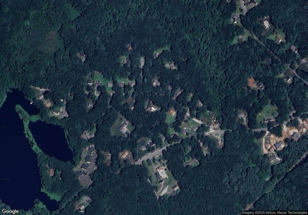
Map
Nearby Homes
- 427 Groton Rd
- 2 Alder Point Unit 2
- 3 Loon Way
- 8 Loon Way
- 55 Lawson Rd
- 1 Appian Way
- 26 N Hill Rd
- 5 Fawn Rd
- 24 Summer Village Rd Unit 24
- 30 Lake Shore Dr N
- 10 Gassett Rd
- 2 Courtview Ln Unit 2
- 16 Shipley Cir
- 36 Elm Rd
- 11 Big Rock Trail
- 24 Dunstable Rd
- 18 Big Rock Trail Unit 115
- 257 Groton Rd
- 22 Highland Rd
- 9 Whispering Pines Rd Unit 9
- 43 Flushing Pond Rd
- 35 Flushing Pond Rd
- 40 Flushing Pond Rd
- 38 Flushing Pond Rd
- 42 Flushing Pond Rd
- 408 Groton Rd
- 410 Groton Rd
- 406 Groton Rd
- 2 Cobblestone Ln
- 32 Flushing Pond Rd
- 46 Flushing Pond Rd
- 30 Flushing Pond Rd
- 404 Groton Rd
- 412 Groton Rd
- 48 Flushing Pond Rd
- 2 Blue Brook Ln
- 414 Groton Rd
- 28 Flushing Pond Rd
- 4 Blue Brook Ln
- 1 Blue Brook Ln