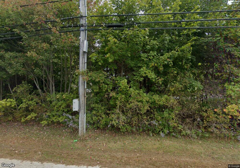
39 Foreside Rd Cumberland Foreside, ME 04110
Cumberland Foreside NeighborhoodEstimated Value: $1,804,954 - $2,427,000
4
Beds
5
Baths
4,382
Sq Ft
$474/Sq Ft
Est. Value
About This Home
This home is located at 39 Foreside Rd, Cumberland Foreside, ME 04110 and is currently estimated at $2,075,318, approximately $473 per square foot. 39 Foreside Rd is a home located in Cumberland County with nearby schools including Mabel I. Wilson School, Greely Middle School 4-5, and Greely Middle School.
Ownership History
Date
Name
Owned For
Owner Type
Purchase Details
Closed on
Aug 15, 2005
Sold by
Hamilton-Waldron Stacie E
Bought by
Clemeston Charles D
Current Estimated Value
Home Financials for this Owner
Home Financials are based on the most recent Mortgage that was taken out on this home.
Original Mortgage
$430,000
Interest Rate
6%
Mortgage Type
Adjustable Rate Mortgage/ARM
Create a Home Valuation Report for This Property
The Home Valuation Report is an in-depth analysis detailing your home's value as well as a comparison with similar homes in the area
Home Values in the Area
Average Home Value in this Area
Purchase History
| Date | Buyer | Sale Price | Title Company |
|---|---|---|---|
| Clemeston Charles D | -- | -- |
Source: Public Records
Mortgage History
| Date | Status | Borrower | Loan Amount |
|---|---|---|---|
| Closed | Clemeston Charles D | $430,000 |
Source: Public Records
Tax History
| Year | Tax Paid | Tax Assessment Tax Assessment Total Assessment is a certain percentage of the fair market value that is determined by local assessors to be the total taxable value of land and additions on the property. | Land | Improvement |
|---|---|---|---|---|
| 2025 | $20,799 | $826,000 | $266,900 | $559,100 |
| 2024 | $19,205 | $826,000 | $266,900 | $559,100 |
| 2023 | $18,296 | $826,000 | $266,900 | $559,100 |
| 2022 | $17,511 | $826,000 | $266,900 | $559,100 |
| 2021 | $16,974 | $826,000 | $266,900 | $559,100 |
| 2020 | $16,809 | $826,000 | $266,900 | $559,100 |
| 2019 | $16,396 | $826,000 | $266,900 | $559,100 |
| 2018 | $16,241 | $824,400 | $266,900 | $557,500 |
| 2017 | $15,499 | $824,400 | $266,900 | $557,500 |
| 2016 | $15,045 | $824,400 | $266,900 | $557,500 |
| 2015 | $14,922 | $824,400 | $266,900 | $557,500 |
| 2014 | $14,345 | $824,400 | $266,900 | $557,500 |
| 2013 | $14,015 | $824,400 | $266,900 | $557,500 |
Source: Public Records
Map
Nearby Homes
- 29 Mary Ln
- 49 Underwood Rd
- 59 Underwood Rd
- 263 Foreside Rd
- 5 Heritage Ln
- 5 & 6 Harmony Way
- 267 U S Route 1 Unit 308
- 267 U S Route 1 Unit 404
- 267 U S Route 1 Unit 306
- 267 U S Route 1 Unit 309 & 311
- 267 U S Route 1 Unit 201
- 267 U S Route 1 Unit 305
- 258 Foreside Rd
- 267 U S 1 Unit PH 508
- 1 Marshall Dr Unit 1
- 3 Marshall Dr Unit 3
- 24 York Ledge Dr
- 0 Ravine Dr Unit 1652137
- Lot 1 Acadia Dr
- Lot 3 Dunham Ln
- 3 Ole Musket Rd
- 2 Ole Musket Rd
- 42 Foreside Rd
- 38 Foreside Rd
- 47 Foreside Rd
- 4 Ole Musket Rd
- 34 Foreside Rd
- 46 Foreside Rd
- Lot 2 Maeve's Way
- 37 Foreside Rd
- 5 Stony Ridge Rd
- 5 Ole Musket Rd
- 2 Russell Rd
- 4 Maeve's Way
- Lot 8 Maeve's Way
- Lot 10 Maeve's Way
- 6 Ole Musket Rd
- Lot Five Maeve's Way
- Lot 5 Maeve's Way
- 48 Foreside Rd
Your Personal Tour Guide
Ask me questions while you tour the home.
