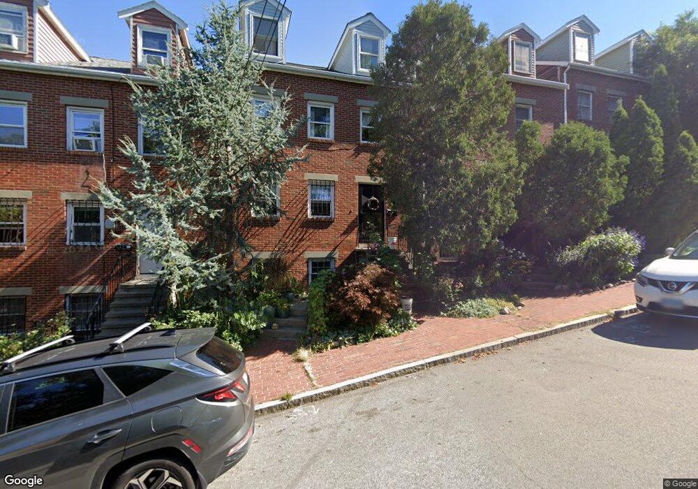
39 Fort Ave Unit 9D Roxbury, MA 02119
Fort Hill NeighborhoodEstimated Value: $880,000 - $1,197,000
3
Beds
2
Baths
--
Sq Ft
1,568
Sq Ft Lot
About This Home
This home is located at 39 Fort Ave Unit 9D, Roxbury, MA 02119 and is currently estimated at $1,048,169. 39 Fort Ave Unit 9D is a home located in Suffolk County with nearby schools including Paige Academy, Manville School, and Malik Academy.
Ownership History
Date
Name
Owned For
Owner Type
Purchase Details
Closed on
Jun 18, 1991
Sold by
Mabron Timothy M and Bonds Jeffrey D
Bought by
Barnes Fannie
Current Estimated Value
Home Financials for this Owner
Home Financials are based on the most recent Mortgage that was taken out on this home.
Original Mortgage
$145,500
Interest Rate
9.39%
Mortgage Type
Purchase Money Mortgage
Create a Home Valuation Report for This Property
The Home Valuation Report is an in-depth analysis detailing your home's value as well as a comparison with similar homes in the area
Home Values in the Area
Average Home Value in this Area
Purchase History
| Date | Buyer | Sale Price | Title Company |
|---|---|---|---|
| Barnes Fannie | $156,500 | -- |
Source: Public Records
Mortgage History
| Date | Status | Borrower | Loan Amount |
|---|---|---|---|
| Open | Barnes Fannie | $160,000 | |
| Closed | Barnes Fannie | $145,500 |
Source: Public Records
Tax History
| Year | Tax Paid | Tax Assessment Tax Assessment Total Assessment is a certain percentage of the fair market value that is determined by local assessors to be the total taxable value of land and additions on the property. | Land | Improvement |
|---|---|---|---|---|
| 2025 | $9,771 | $843,800 | $281,500 | $562,300 |
| 2024 | $9,571 | $878,100 | $175,800 | $702,300 |
| 2023 | $9,068 | $844,300 | $169,000 | $675,300 |
| 2022 | $8,351 | $767,600 | $153,700 | $613,900 |
| 2021 | $7,655 | $717,400 | $143,600 | $573,800 |
| 2020 | $6,648 | $629,500 | $137,000 | $492,500 |
| 2019 | $6,203 | $588,500 | $104,900 | $483,600 |
| 2018 | $5,713 | $545,100 | $104,900 | $440,200 |
| 2017 | $5,716 | $539,800 | $104,900 | $434,900 |
| 2016 | $5,302 | $482,000 | $104,900 | $377,100 |
| 2015 | $4,030 | $332,800 | $84,000 | $248,800 |
| 2014 | $3,807 | $302,600 | $84,000 | $218,600 |
Source: Public Records
Map
Nearby Homes
- 156-160 Highland St Unit 156
- 10 Linwood St
- 65 Lambert Ave
- 187 Highland St
- 16 Hawthorne St
- 134 Terrace St
- 9 W Cedar St Unit 1
- 5 Valentine St Unit 1
- 743 Parker St Unit 3
- 27 Dudley St
- 2856 Washington St
- 40 Wensley St
- 48-50 Dudley St
- 6 Harleston St Unit 6
- 16 Mayfair St
- 70 Rockland St
- 51 Saint James St
- 64 Alpine St Unit 104
- 64 Alpine St Unit 304
- 28-30 Lawn St Unit 1
- 39 Fort Ave
- 37 Fort Ave
- 41 Fort Ave
- 41 Fort Ave Unit 1
- 43 Fort Ave
- 35 Fort Ave
- 35 Fort Ave Unit A
- 35 Fort Ave Unit B
- 35 Fort Ave Unit 1
- 35 Fort Ave Unit 2
- 8 Highland Park St
- 45 Fort Ave Unit B
- 45 Fort Ave Unit A
- 45 Fort Ave Unit Upper
- 45 Fort Ave
- 45 Fort Ave Unit 1
- 41 Highland Prk Ave $399k
- 41 Highland Park Ave
- 41 Highland Park Ave Unit 1
- 41 Highland Park Ave
Your Personal Tour Guide
Ask me questions while you tour the home.