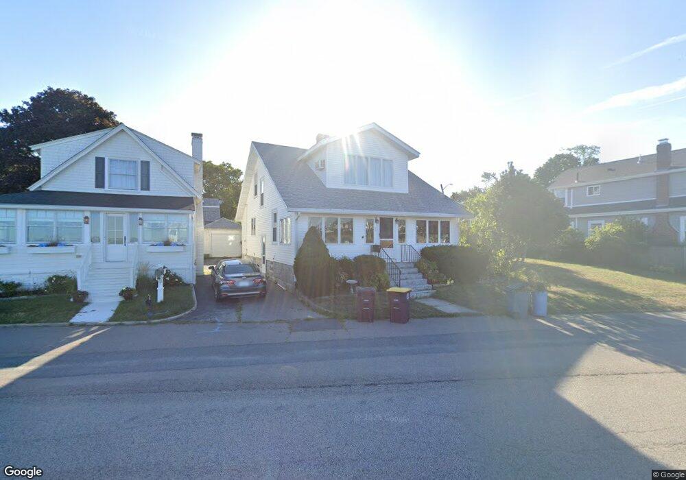
39 Fort Point Rd North Weymouth, MA 02191
North Weymouth NeighborhoodEstimated Value: $698,331 - $819,000
3
Beds
2
Baths
1,530
Sq Ft
$502/Sq Ft
Est. Value
About This Home
This home is located at 39 Fort Point Rd, North Weymouth, MA 02191 and is currently estimated at $768,083, approximately $502 per square foot. 39 Fort Point Rd is a home located in Norfolk County with nearby schools including Wessagusset Elementary School, Abigail Adams Middle School, and Weymouth Middle School Chapman.
Create a Home Valuation Report for This Property
The Home Valuation Report is an in-depth analysis detailing your home's value as well as a comparison with similar homes in the area
Home Values in the Area
Average Home Value in this Area
Tax History Compared to Growth
Tax History
| Year | Tax Paid | Tax Assessment Tax Assessment Total Assessment is a certain percentage of the fair market value that is determined by local assessors to be the total taxable value of land and additions on the property. | Land | Improvement |
|---|---|---|---|---|
| 2025 | $6,671 | $660,500 | $377,000 | $283,500 |
| 2024 | $6,464 | $629,400 | $359,100 | $270,300 |
| 2023 | $6,198 | $593,100 | $332,500 | $260,600 |
| 2022 | $6,249 | $549,400 | $324,100 | $225,300 |
| 2021 | $6,001 | $511,200 | $324,100 | $187,100 |
| 2020 | $5,838 | $489,800 | $324,100 | $165,700 |
| 2019 | $5,701 | $470,400 | $311,600 | $158,800 |
| 2018 | $5,183 | $414,600 | $267,100 | $147,500 |
| 2017 | $4,989 | $389,500 | $254,400 | $135,100 |
| 2016 | $4,621 | $361,000 | $231,000 | $130,000 |
| 2015 | $4,511 | $349,700 | $231,000 | $118,700 |
| 2014 | $4,328 | $325,400 | $215,000 | $110,400 |
Source: Public Records
Map
Nearby Homes
- 12 Wolcott St
- 16 Caldwell St
- 69 Great Hill Dr
- 51 Broad Reach Unit T23A
- 61 Broad Reach Unit T62B
- 73 Broad Reach Unit T123C
- 73 Broad Reach Unit M33C
- 73 Broad Reach Unit T41C
- 64 Broad Reach Unit 108
- 130 Broad Reach Unit 506
- 130 Broad Reach Unit 305
- 130 Broad Reach Unit 206
- 130 Broad Reach Unit 302
- 130 Broad Reach Unit 504
- 10 Shipyard Dr Unit 313
- 41 Pecksuot Rd
- 159 Wessagussett Rd
- 137 Wessagussett Rd
- 95 Fuller Rd
- 29 Wituwamat Rd
- 33 Fort Point Rd
- 43 Fort Point Rd
- 9 Sawtelle St
- 11 Sawtelle St
- 18 Harlem Rd
- 18 Harlem Rd Unit A
- 49 Fort Point Rd
- 5 Harlem Rd
- 51 Fort Point Rd
- 15 Harlem Rd
- 19 Sawtelle St
- 16 Sawtelle St
- 19 Fort Point Rd
- 55 Fort Point Rd
- 21 Fort Point Rd
- 30 Harlem Rd
- 59 Fort Point Rd
- 21 Fort Point Rd Waterfront
- 25 Harlem Rd
- 25 Harlem Rd