39 Fowles Point Rd Westport Island, ME 04578
Estimated Value: $352,172 - $696,000
3
Beds
3
Baths
2,368
Sq Ft
$237/Sq Ft
Est. Value
About This Home
This home is located at 39 Fowles Point Rd, Westport Island, ME 04578 and is currently estimated at $561,793, approximately $237 per square foot. 39 Fowles Point Rd is a home.
Create a Home Valuation Report for This Property
The Home Valuation Report is an in-depth analysis detailing your home's value as well as a comparison with similar homes in the area
Home Values in the Area
Average Home Value in this Area
Tax History Compared to Growth
Tax History
| Year | Tax Paid | Tax Assessment Tax Assessment Total Assessment is a certain percentage of the fair market value that is determined by local assessors to be the total taxable value of land and additions on the property. | Land | Improvement |
|---|---|---|---|---|
| 2024 | $2,105 | $284,450 | $149,450 | $135,000 |
| 2023 | $1,405 | $214,473 | $79,473 | $135,000 |
| 2022 | $1,459 | $175,798 | $65,142 | $110,656 |
| 2021 | $1,389 | $175,798 | $65,142 | $110,656 |
| 2020 | $1,424 | $175,798 | $65,142 | $110,656 |
| 2019 | $1,231 | $164,732 | $65,142 | $99,590 |
| 2018 | $1,087 | $164,732 | $65,142 | $99,590 |
| 2016 | $1,035 | $143,766 | $65,142 | $78,624 |
| 2014 | $1,170 | $155,740 | $0 | $0 |
| 2013 | $1,207 | $155,740 | $90,330 | $65,410 |
Source: Public Records
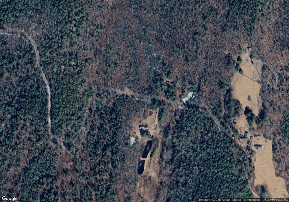
Map
Nearby Homes
- 13 Porcupine Ln
- 15 Lewis Dr
- 19 Riverside Ave
- 0 Maine 144
- 30 Taylor Rd
- 44 Stone Point Ln
- 27 Doggett Rd
- 17 Lester Rd
- 18 High Head Rd
- M4 L12.30B McCarty Cove Rd
- 712 Back River Rd
- 2 Ready Point Rd
- 23 Sunny Acres Ln
- 576 Back River Rd
- 50 Bunchberry Ln
- 34 Bunchberry Ln
- Lot 1 Sanders Rd
- 4 Fawn Meadow Dr
- Lot 4 Fawn Meadow Dr
- 14 Walker Rd