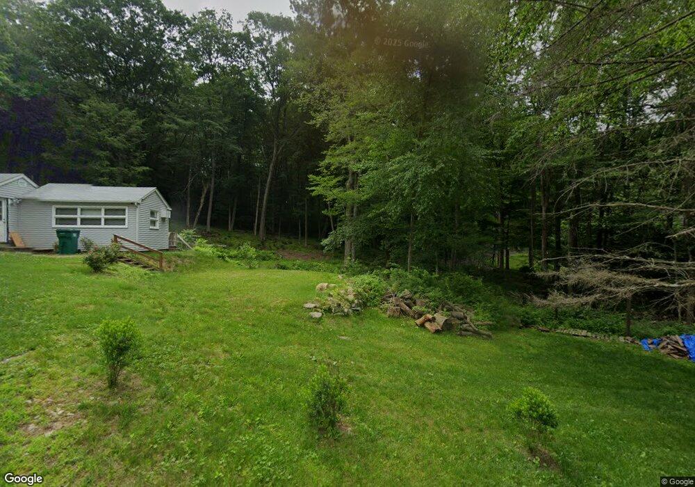
39 Freeman Rd Oxford, CT 06478
Estimated Value: $518,000 - $644,000
4
Beds
3
Baths
2,212
Sq Ft
$270/Sq Ft
Est. Value
About This Home
This home is located at 39 Freeman Rd, Oxford, CT 06478 and is currently estimated at $598,031, approximately $270 per square foot. 39 Freeman Rd is a home located in New Haven County with nearby schools including Quaker Farms School, Oxford Middle School, and Oxford High School.
Ownership History
Date
Name
Owned For
Owner Type
Purchase Details
Closed on
Dec 10, 2007
Sold by
Beafaore Frank J and Beafaore Shanna
Bought by
John Praveen K and John Savie
Current Estimated Value
Purchase Details
Closed on
Jun 17, 2003
Sold by
Payne Lisa M and Payne Howard J
Bought by
Beafore Frank J and Beafore Shauna
Purchase Details
Closed on
Apr 9, 2001
Sold by
Kochiss Paul
Bought by
Payne Lisa
Create a Home Valuation Report for This Property
The Home Valuation Report is an in-depth analysis detailing your home's value as well as a comparison with similar homes in the area
Home Values in the Area
Average Home Value in this Area
Purchase History
| Date | Buyer | Sale Price | Title Company |
|---|---|---|---|
| John Praveen K | $378,700 | -- | |
| John Praveen K | $378,700 | -- | |
| Beafore Frank J | $375,000 | -- | |
| Beafore Frank J | $375,000 | -- | |
| Payne Lisa | $296,000 | -- | |
| Payne Lisa | $296,000 | -- |
Source: Public Records
Mortgage History
| Date | Status | Borrower | Loan Amount |
|---|---|---|---|
| Open | Payne Lisa | $388,279 | |
| Closed | Payne Lisa | $389,355 |
Source: Public Records
Tax History
| Year | Tax Paid | Tax Assessment Tax Assessment Total Assessment is a certain percentage of the fair market value that is determined by local assessors to be the total taxable value of land and additions on the property. | Land | Improvement |
|---|---|---|---|---|
| 2025 | $6,578 | $328,720 | $70,350 | $258,370 |
| 2024 | $5,787 | $224,200 | $76,600 | $147,600 |
| 2023 | $5,424 | $221,300 | $76,600 | $144,700 |
| 2022 | $5,391 | $221,300 | $76,600 | $144,700 |
| 2021 | $5,090 | $221,300 | $76,600 | $144,700 |
| 2020 | $5,116 | $214,600 | $76,600 | $138,000 |
| 2019 | $5,116 | $214,600 | $76,600 | $138,000 |
| 2018 | $4,947 | $214,600 | $76,600 | $138,000 |
| 2017 | $4,766 | $214,600 | $76,600 | $138,000 |
| 2016 | $5,195 | $214,600 | $76,600 | $138,000 |
| 2015 | $5,631 | $225,600 | $76,600 | $149,000 |
| 2014 | $5,611 | $225,600 | $76,600 | $149,000 |
Source: Public Records
Map
Nearby Homes
- 19 Good Hill Rd
- 159 Freeman Rd
- 44 Old Country Rd
- 185 Quaker Farms Rd
- 56 Downs Rd
- 81 Oneil Rd
- 134 Shelton Rd
- 567 Roosevelt Dr
- 141 Maple Tree Hill Rd
- 124 Bagburn Rd
- 13 Jordan Hill Rd Unit Lot 4
- 8 Stone Bridge Trail
- 34 Bagburn Rd
- 238 Berkshire Rd
- 24 Scott Rd
- 40 Osborne Hill Rd
- 181 Great Hill Rd
- 15 Legacy Ln
- 24 Legacy Ln
- 3 Serenity Ln
- 41 Freeman Rd
- 40 Freeman Rd
- 37 Freeman Rd
- 45 Freeman Rd
- 13 Freeman Rd
- 35 Freeman Rd
- 47 Freeman Rd
- 6 Freeman Rd
- 154 Bowers Hill Rd
- 150 Bowers Hill Rd
- 160 Bowers Hill Rd
- 44 Freeman Rd
- 48 Freeman Rd
- 10 Coppermine Rd
- 8 Coppermine Rd
- 14 Coppermine Rd
- 63 Freeman Rd
- 4 Freeman Rd
- 22 Coppermine Rd
- 20 Coppermine Rd
Your Personal Tour Guide
Ask me questions while you tour the home.