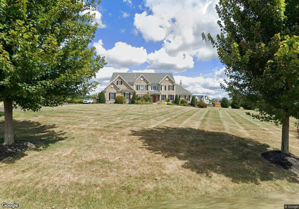
39 Fretz Rd Perkasie, PA 18944
Estimated Value: $1,092,000 - $1,773,934
5
Beds
6
Baths
4,400
Sq Ft
$315/Sq Ft
Est. Value
About This Home
This home is located at 39 Fretz Rd, Perkasie, PA 18944 and is currently estimated at $1,384,978, approximately $314 per square foot. 39 Fretz Rd is a home located in Bucks County with nearby schools including Pennridge High School, Plumstead Christ School Peace Val, and Plumstead Christian School.
Ownership History
Date
Name
Owned For
Owner Type
Purchase Details
Closed on
May 20, 2011
Sold by
Jajope Llc
Bought by
Lassoff Michael Y and Lassoff Barbara J
Current Estimated Value
Home Financials for this Owner
Home Financials are based on the most recent Mortgage that was taken out on this home.
Original Mortgage
$250,000
Outstanding Balance
$173,177
Interest Rate
4.81%
Mortgage Type
New Conventional
Estimated Equity
$1,211,801
Purchase Details
Closed on
May 25, 2005
Sold by
Baskin James W and Baskin Donna K
Bought by
Jajope Llc
Home Financials for this Owner
Home Financials are based on the most recent Mortgage that was taken out on this home.
Original Mortgage
$2,392,000
Interest Rate
5.94%
Mortgage Type
Credit Line Revolving
Create a Home Valuation Report for This Property
The Home Valuation Report is an in-depth analysis detailing your home's value as well as a comparison with similar homes in the area
Home Values in the Area
Average Home Value in this Area
Purchase History
| Date | Buyer | Sale Price | Title Company |
|---|---|---|---|
| Lassoff Michael Y | $847,425 | None Available | |
| Jajope Llc | $1,546,000 | -- |
Source: Public Records
Mortgage History
| Date | Status | Borrower | Loan Amount |
|---|---|---|---|
| Open | Lassoff Michael Y | $250,000 | |
| Previous Owner | Jajope Llc | $2,392,000 |
Source: Public Records
Tax History Compared to Growth
Tax History
| Year | Tax Paid | Tax Assessment Tax Assessment Total Assessment is a certain percentage of the fair market value that is determined by local assessors to be the total taxable value of land and additions on the property. | Land | Improvement |
|---|---|---|---|---|
| 2025 | $16,473 | $96,080 | $13,700 | $82,380 |
| 2024 | $16,473 | $96,080 | $13,700 | $82,380 |
| 2023 | $16,281 | $96,080 | $13,700 | $82,380 |
| 2022 | $16,281 | $96,080 | $13,700 | $82,380 |
| 2021 | $16,281 | $96,080 | $13,700 | $82,380 |
| 2020 | $16,281 | $96,080 | $13,700 | $82,380 |
| 2019 | $16,185 | $96,080 | $13,700 | $82,380 |
| 2018 | $15,707 | $93,240 | $13,700 | $79,540 |
| 2017 | $15,590 | $93,240 | $13,700 | $79,540 |
| 2016 | $15,590 | $93,240 | $13,700 | $79,540 |
| 2015 | -- | $93,240 | $13,700 | $79,540 |
| 2014 | -- | $93,240 | $13,700 | $79,540 |
Source: Public Records
Map
Nearby Homes
- 81 Williams Dr
- 161 Maple Ave
- Lot 6 Henry Ct
- 3789 Stump Rd
- 137 S Main St
- 9 Dublin Rd
- 132 Applewood Ln
- 315 Old Limekiln Lot 3 Rd
- 1161 Upper Stump Rd
- 116 Bishop Way
- 135 Bishop Way
- 622 Welcome House Rd
- 204 Pennland Farm Dr
- 238 Allem Ln Unit 238
- 319 Pennington Way
- 1214 Hockley Dr
- 178 Elephant Rd Unit C26
- 178 Elephant Rd Unit A6
- 169 Marlyn Ln
- 1222 Hockley Dr
- 140 Griffith Ct
- 132 Griffith Ct
- 0 Fretz Rd Unit 5361824
- 0 Fretz Rd Unit 5535298
- 208 Fretz Rd
- 100 Baskin Rd
- 137 Griffith Ct
- 133 Griffith Ct
- 0 Griffith Ct Unit 5368347
- 0 Griffith Ct Unit 5368346
- 0 Griffith Ct Unit 5362604
- 0 Griffith Ct Unit 5361828
- 0 Griffith Ct Unit 5361827
- 0 Griffith Ct Unit 5361826
- 0 Griffith Ct Unit 5361825
- 0 Griffith Ct Unit 5361830
- 0 Griffith Ct Unit 5361829
- 0 Griffith Ct Unit 5361834
- 0 Griffith Ct Unit 5956650
- 0 Griffith Ct Unit 6974016