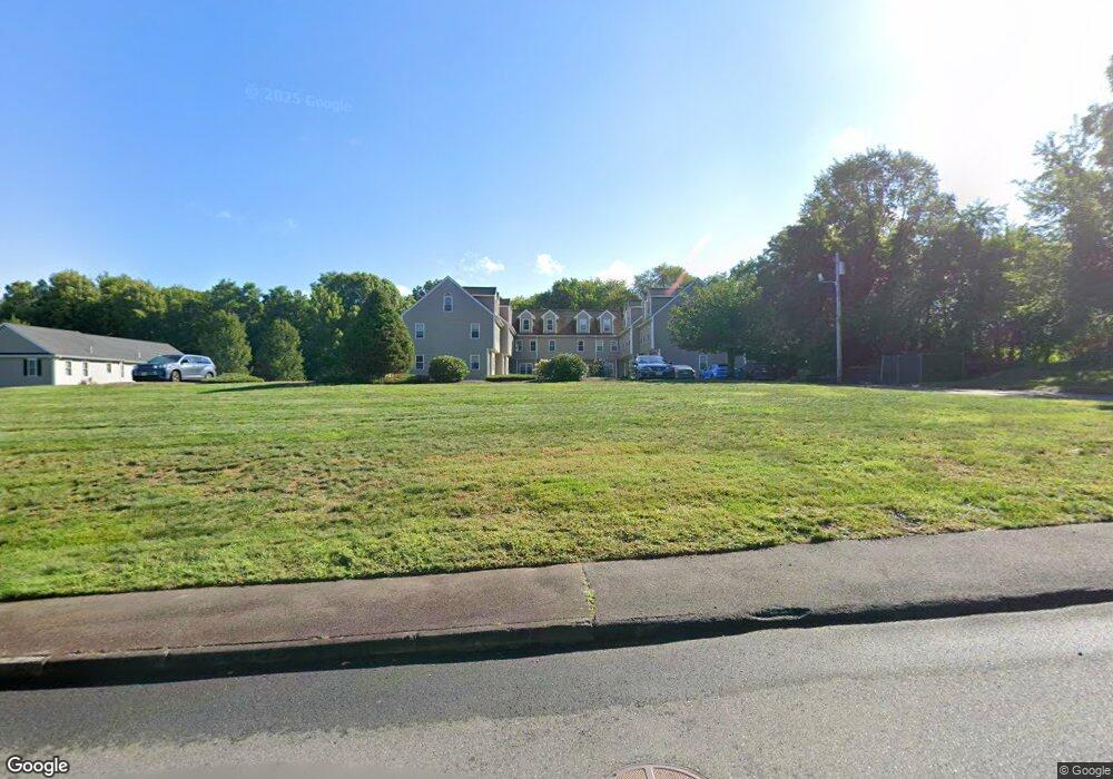
39 Gatsby Dr Unit A Raynham, MA 02767
Elliotts Corner NeighborhoodEstimated Value: $398,000 - $477,000
2
Beds
2
Baths
1,863
Sq Ft
$232/Sq Ft
Est. Value
About This Home
This home is located at 39 Gatsby Dr Unit A, Raynham, MA 02767 and is currently estimated at $432,985, approximately $232 per square foot. 39 Gatsby Dr Unit A is a home located in Bristol County with nearby schools including LaLiberte Elementary School, Merrill Elementary School, and Williams Intermediate School.
Ownership History
Date
Name
Owned For
Owner Type
Purchase Details
Closed on
Oct 15, 2008
Sold by
Bald Eagle Dev Corp
Bought by
Vandam Alison N
Current Estimated Value
Home Financials for this Owner
Home Financials are based on the most recent Mortgage that was taken out on this home.
Original Mortgage
$100,000
Outstanding Balance
$66,434
Interest Rate
6.41%
Mortgage Type
Purchase Money Mortgage
Estimated Equity
$366,551
Create a Home Valuation Report for This Property
The Home Valuation Report is an in-depth analysis detailing your home's value as well as a comparison with similar homes in the area
Home Values in the Area
Average Home Value in this Area
Purchase History
| Date | Buyer | Sale Price | Title Company |
|---|---|---|---|
| Vandam Alison N | $261,150 | -- |
Source: Public Records
Mortgage History
| Date | Status | Borrower | Loan Amount |
|---|---|---|---|
| Open | Vandam Alison N | $100,000 |
Source: Public Records
Tax History Compared to Growth
Tax History
| Year | Tax Paid | Tax Assessment Tax Assessment Total Assessment is a certain percentage of the fair market value that is determined by local assessors to be the total taxable value of land and additions on the property. | Land | Improvement |
|---|---|---|---|---|
| 2025 | $4,533 | $374,600 | $0 | $374,600 |
| 2024 | $4,351 | $350,300 | $0 | $350,300 |
| 2023 | $4,430 | $325,700 | $0 | $325,700 |
| 2022 | $4,440 | $299,400 | $0 | $299,400 |
| 2021 | $4,075 | $277,400 | $0 | $277,400 |
| 2020 | $3,807 | $264,200 | $0 | $264,200 |
| 2019 | $3,760 | $264,200 | $0 | $264,200 |
| 2018 | $3,861 | $259,100 | $0 | $259,100 |
| 2017 | $3,709 | $246,800 | $0 | $246,800 |
| 2016 | $3,550 | $237,000 | $0 | $237,000 |
| 2015 | $2,867 | $188,100 | $0 | $188,100 |
Source: Public Records
Map
Nearby Homes
- 486 Richmond St
- 492 Richmond St Unit B
- 1 Aila Ct
- 50 Oxbow Rd Unit 34-1
- 56 Oxbow Rd Unit 35-1
- 42 Oxbow Rd Unit 20-1
- 81 Oxbow Rd Unit 39-3
- 75 Oxbow Rd Unit 38-3
- 60 Oxbow Rd Unit 40-2
- 61 Oxbow Rd Unit 36-1
- 71 Oxbow Rd Unit 38-1
- 62 Oxbow Rd Unit 40-1
- 63 Oxbow Rd Unit 36-2
- 48 Oxbow Rd Unit 34-2
- 77 Oxbow Rd Unit 1
- 65 Oxbow Rd Unit 37-1
- 69 Oxbow Rd Unit 37-3
- 0 Oxbow Rd Unit 35-1 73356486
- 0 Oxbow Rd Unit 39-3
- 0 Oxbow Rd Unit 20-3
- 39 Gatsby Dr Unit B
- 39 Gatsby Dr Unit G
- 39 Gatsby Dr Unit 8
- 39 Gatsby Dr Unit 7
- 39 Gatsby Dr Unit 6
- 39 Gatsby Dr Unit 5
- 39 Gatsby Dr Unit 4
- 39 Gatsby Dr Unit 3
- 39 Gatsby Dr Unit 2
- 39 Gatsby Dr Unit 1
- 39 Gatsby Dr Unit H
- 39 Gatsby Dr Unit D
- 39 Gatsby Dr Unit C
- 39 Gatsby Dr Unit I
- 39 Gatsby Dr Unit E
- 39 Gatsby Dr Unit F
- 1336 Middleboro Ave
- 5 Gatsby Dr Unit A
- 53 Gatsby Dr Unit G
- 53 Gatsby Dr Unit D