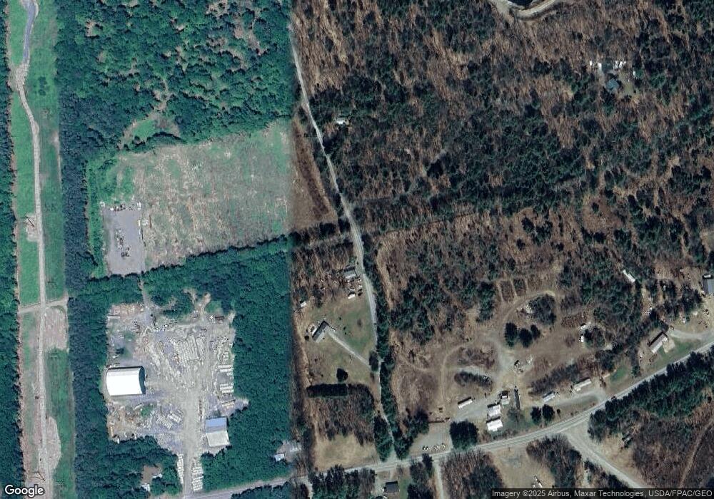
39 Grumpy Men Ave North Anson, ME 04958
Estimated Value: $159,000 - $337,000
3
Beds
1
Bath
840
Sq Ft
$297/Sq Ft
Est. Value
About This Home
This home is located at 39 Grumpy Men Ave, North Anson, ME 04958 and is currently estimated at $249,618, approximately $297 per square foot. 39 Grumpy Men Ave is a home.
Ownership History
Date
Name
Owned For
Owner Type
Purchase Details
Closed on
Feb 25, 2020
Sold by
Beaufort Kenneth and Beaufort Grace
Bought by
Jeremiah 29 11 T
Current Estimated Value
Purchase Details
Closed on
Apr 12, 2006
Sold by
Mattingly Philip P and Mattingly Bonnie J
Bought by
Beaufort Kenneth and Beaufort Grace
Home Financials for this Owner
Home Financials are based on the most recent Mortgage that was taken out on this home.
Original Mortgage
$40,000
Interest Rate
6.28%
Mortgage Type
Commercial
Create a Home Valuation Report for This Property
The Home Valuation Report is an in-depth analysis detailing your home's value as well as a comparison with similar homes in the area
Home Values in the Area
Average Home Value in this Area
Purchase History
| Date | Buyer | Sale Price | Title Company |
|---|---|---|---|
| Jeremiah 29 11 T | -- | None Available | |
| Beaufort Kenneth | -- | -- |
Source: Public Records
Mortgage History
| Date | Status | Borrower | Loan Amount |
|---|---|---|---|
| Previous Owner | Beaufort Kenneth | $40,000 |
Source: Public Records
Tax History
| Year | Tax Paid | Tax Assessment Tax Assessment Total Assessment is a certain percentage of the fair market value that is determined by local assessors to be the total taxable value of land and additions on the property. | Land | Improvement |
|---|---|---|---|---|
| 2025 | $3,992 | $216,030 | $47,110 | $168,920 |
| 2024 | $3,543 | $216,030 | $47,110 | $168,920 |
| 2023 | $3,086 | $162,430 | $35,420 | $127,010 |
| 2022 | $2,924 | $162,430 | $35,420 | $127,010 |
| 2021 | $2,931 | $141,240 | $30,800 | $110,440 |
| 2020 | $3,143 | $141,240 | $30,800 | $110,440 |
| 2019 | $3,107 | $141,240 | $30,800 | $110,440 |
| 2018 | $2,962 | $141,240 | $30,800 | $110,440 |
| 2017 | $2,825 | $141,240 | $30,800 | $110,440 |
| 2016 | $2,669 | $141,240 | $30,800 | $110,440 |
| 2015 | $2,825 | $141,240 | $30,800 | $110,440 |
| 2014 | $2,825 | $141,240 | $30,800 | $110,440 |
| 2013 | $2,768 | $141,240 | $30,800 | $110,440 |
Source: Public Records
Map
Nearby Homes
- 20 Blue Jay Dr
- 565 River Rd
- 57 Cranberry Dr
- 047-025 Cardinal Dr
- 305 Kennebec River Rd
- 452 New Portland Rd
- 167 Rd
- 167 (House) Town Farm Rd
- 167 Town Farm Rd
- 1631 Lakewood Rd
- 1497 B River Rd
- 142 River Rd
- 562 Valley Rd
- Lot 35 Wedge St
- Lot 36 Wedge St
- 98 Madison Ave
- 75 Madison Ave
- 51 Maple St
- 33 John St
- 7 Bean St
- 112 Solon Rd
- 124 Solon Rd
- 114 Solon Rd
- 62 Solon Rd
- 138 Solon Rd
- 138 Solon Rd
- 172 Solon Rd
- 141 Solon Rd
- 153 Solon Rd
- 122 Solon Rd
- 20 Grumpy Men Ave
- 0 Solon Rd Unit 860746
- 0 Solon Rd Unit 265672
- 0 Solon Rd Unit 1475033
- 171 Solon Rd
- 51 Patterson Bridge Rd
- M17 L38 Patterson Bridge Rd
- 51 Solon Rd
- 33 Patterson Bridge Rd
- 119 Grumpy Men Ave
