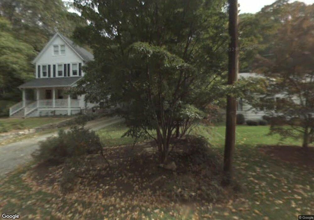
39 Hazel St Darien, CT 06820
Estimated Value: $1,660,000 - $2,403,000
3
Beds
2
Baths
1,859
Sq Ft
$1,125/Sq Ft
Est. Value
About This Home
This home is located at 39 Hazel St, Darien, CT 06820 and is currently estimated at $2,091,303, approximately $1,124 per square foot. 39 Hazel St is a home located in Fairfield County with nearby schools including Holmes Elementary School, Middlesex Middle School, and Darien High School.
Ownership History
Date
Name
Owned For
Owner Type
Purchase Details
Closed on
Jan 24, 2000
Sold by
Fedorchak Wesley and Fedrochak Carol P
Bought by
Wilex Samuel T and Wilex Mary A
Current Estimated Value
Purchase Details
Closed on
Aug 15, 1994
Sold by
Ritter Edward and Ritter Audrey
Bought by
Fedorchak Wesley and Fedorchak Carol
Create a Home Valuation Report for This Property
The Home Valuation Report is an in-depth analysis detailing your home's value as well as a comparison with similar homes in the area
Home Values in the Area
Average Home Value in this Area
Purchase History
| Date | Buyer | Sale Price | Title Company |
|---|---|---|---|
| Wilex Samuel T | $609,000 | -- | |
| Fedorchak Wesley | $349,272 | -- |
Source: Public Records
Mortgage History
| Date | Status | Borrower | Loan Amount |
|---|---|---|---|
| Open | Fedorchak Wesley | $923,000 | |
| Closed | Fedorchak Wesley | $1,050,000 | |
| Closed | Fedorchak Wesley | $1,050,000 |
Source: Public Records
Tax History
| Year | Tax Paid | Tax Assessment Tax Assessment Total Assessment is a certain percentage of the fair market value that is determined by local assessors to be the total taxable value of land and additions on the property. | Land | Improvement |
|---|---|---|---|---|
| 2025 | $18,305 | $1,182,510 | $573,720 | $608,790 |
| 2024 | $17,371 | $1,182,510 | $573,720 | $608,790 |
| 2023 | $15,464 | $878,150 | $441,350 | $436,800 |
| 2022 | $15,131 | $878,150 | $441,350 | $436,800 |
| 2021 | $14,788 | $878,150 | $441,350 | $436,800 |
| 2020 | $14,367 | $878,150 | $441,350 | $436,800 |
| 2019 | $14,463 | $878,150 | $441,350 | $436,800 |
| 2018 | $7,591 | $827,960 | $387,450 | $440,510 |
| 2017 | $4,258 | $827,960 | $387,450 | $440,510 |
| 2016 | $13,057 | $827,960 | $387,450 | $440,510 |
| 2015 | $12,709 | $827,960 | $387,450 | $440,510 |
| 2014 | $12,428 | $827,960 | $387,450 | $440,510 |
Source: Public Records
Map
Nearby Homes
- 15 Charles St
- 25 Devon Rd
- 11 Patton Dr
- 86 Middlesex Rd
- 22 Radio Place Unit 10
- 167 Hollow Tree Ridge Rd
- 3 Abbey Rd
- 166 Hollow Tree Ridge Rd
- 88 Maple Tree Ave Unit G
- 3 Hickory Ln
- 5 Middlesex Rd
- 12 Walmsley Rd
- 29 Walmsley Rd
- 24 King St
- 66 Stanton Rd
- 53 Hoyt St
- 15 Tremont Ave
- 43 Phillips Ln
- 34 Crescent St Unit 2D
- 596 Glenbrook Rd Unit 12
Your Personal Tour Guide
Ask me questions while you tour the home.