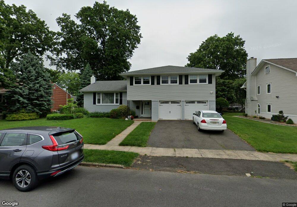
39 Hemlock Cir Cranford, NJ 07016
Estimated Value: $811,913 - $1,017,000
Studio
--
Bath
2,244
Sq Ft
$421/Sq Ft
Est. Value
About This Home
This home is located at 39 Hemlock Cir, Cranford, NJ 07016 and is currently estimated at $943,978, approximately $420 per square foot. 39 Hemlock Cir is a home located in Union County with nearby schools including Cranford Sr High School, St. Theresa School, and Kindercare Learning Center.
Ownership History
Date
Name
Owned For
Owner Type
Purchase Details
Closed on
May 10, 2005
Sold by
Lefkovic Rafael
Bought by
Marchesi Michael D and Marchesi Kathleen M
Current Estimated Value
Home Financials for this Owner
Home Financials are based on the most recent Mortgage that was taken out on this home.
Original Mortgage
$210,000
Interest Rate
6.05%
Mortgage Type
New Conventional
Purchase Details
Closed on
Mar 10, 1997
Sold by
Lefkovic Leslie Z
Bought by
Res Leslie Z Lefkovic Qualified Personal
Create a Home Valuation Report for This Property
The Home Valuation Report is an in-depth analysis detailing your home's value as well as a comparison with similar homes in the area
Home Values in the Area
Average Home Value in this Area
Purchase History
| Date | Buyer | Sale Price | Title Company |
|---|---|---|---|
| Marchesi Michael D | $560,000 | -- | |
| Res Leslie Z Lefkovic Qualified Personal | -- | -- |
Source: Public Records
Mortgage History
| Date | Status | Borrower | Loan Amount |
|---|---|---|---|
| Closed | Marchesi Michael D | $210,000 |
Source: Public Records
Tax History
| Year | Tax Paid | Tax Assessment Tax Assessment Total Assessment is a certain percentage of the fair market value that is determined by local assessors to be the total taxable value of land and additions on the property. | Land | Improvement |
|---|---|---|---|---|
| 2025 | $15,456 | $228,000 | $91,000 | $137,000 |
| 2024 | $15,201 | $228,000 | $91,000 | $137,000 |
| 2023 | $15,201 | $228,000 | $91,000 | $137,000 |
| 2022 | $15,075 | $228,000 | $91,000 | $137,000 |
| 2021 | $15,009 | $228,000 | $91,000 | $137,000 |
| 2020 | $15,939 | $242,900 | $91,000 | $151,900 |
| 2019 | $15,837 | $242,900 | $91,000 | $151,900 |
| 2018 | $14,750 | $230,400 | $91,000 | $139,400 |
| 2017 | $14,243 | $230,400 | $91,000 | $139,400 |
| 2016 | $13,725 | $230,400 | $91,000 | $139,400 |
| 2015 | $13,366 | $230,400 | $91,000 | $139,400 |
| 2014 | $13,091 | $230,400 | $91,000 | $139,400 |
Source: Public Records
Map
Nearby Homes
- 75 Arthur Terrace
- 64 Arthur Terrace
- 641 Quinton Ave
- 327 Roosevelt Ln
- 657 Summit Ave
- 664 Summit Ave
- 49 Locust Dr
- 635 Bloomingdale Ave
- 113 Columbia Ave
- 34 Columbia Ave
- 145 N 24th St
- 144 N Michigan Ave
- 222 N 17th St
- 735 Vernon Ave
- 18 Boyd Terrace
- 33 Park Dr
- 1 Via Vitale
- 602 Maplewood Ave
- 201 Maple Place
- 515 Beechwood Ave
Your Personal Tour Guide
Ask me questions while you tour the home.