39 Hennessey Farm Rd Southbury, CT 06488
Estimated Value: $512,000 - $585,000
3
Beds
3
Baths
1,632
Sq Ft
$330/Sq Ft
Est. Value
About This Home
This home is located at 39 Hennessey Farm Rd, Southbury, CT 06488 and is currently estimated at $538,364, approximately $329 per square foot. 39 Hennessey Farm Rd is a home located in New Haven County with nearby schools including Pomperaug Elementary School, Rochambeau Middle School, and Pomperaug Regional High School.
Ownership History
Date
Name
Owned For
Owner Type
Purchase Details
Closed on
Jun 1, 1998
Sold by
Fosnar John
Bought by
Dust Arthur and Dust Cnythia
Current Estimated Value
Home Financials for this Owner
Home Financials are based on the most recent Mortgage that was taken out on this home.
Original Mortgage
$194,300
Interest Rate
7.12%
Mortgage Type
Unknown
Create a Home Valuation Report for This Property
The Home Valuation Report is an in-depth analysis detailing your home's value as well as a comparison with similar homes in the area
Home Values in the Area
Average Home Value in this Area
Purchase History
| Date | Buyer | Sale Price | Title Company |
|---|---|---|---|
| Dust Arthur | $242,900 | -- |
Source: Public Records
Mortgage History
| Date | Status | Borrower | Loan Amount |
|---|---|---|---|
| Open | Dust Arthur | $195,900 | |
| Closed | Dust Arthur | $194,300 |
Source: Public Records
Tax History Compared to Growth
Tax History
| Year | Tax Paid | Tax Assessment Tax Assessment Total Assessment is a certain percentage of the fair market value that is determined by local assessors to be the total taxable value of land and additions on the property. | Land | Improvement |
|---|---|---|---|---|
| 2025 | $6,521 | $269,450 | $93,480 | $175,970 |
| 2024 | $6,359 | $269,450 | $93,480 | $175,970 |
| 2023 | $6,063 | $269,450 | $93,480 | $175,970 |
| 2022 | $6,452 | $225,290 | $101,530 | $123,760 |
| 2021 | $6,601 | $225,290 | $101,530 | $123,760 |
| 2020 | $6,601 | $225,290 | $101,530 | $123,760 |
| 2019 | $6,556 | $225,290 | $101,530 | $123,760 |
| 2018 | $6,533 | $225,290 | $101,530 | $123,760 |
| 2017 | $6,944 | $237,010 | $113,770 | $123,240 |
| 2016 | $6,826 | $237,010 | $113,770 | $123,240 |
| 2015 | $6,731 | $237,010 | $113,770 | $123,240 |
| 2014 | $6,541 | $237,010 | $113,770 | $123,240 |
Source: Public Records
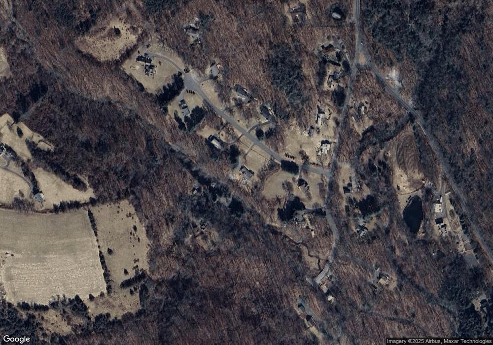
Map
Nearby Homes
- 70 Diamond Match Rd
- 20 Oakcrest Rd
- 4 Bishop Rd
- 110 Silver Beech Rd
- 24 Scott Rd
- 7 Deerwood Rd
- 122 Strongtown Rd
- lot1B Deerwood Rd
- lot1 Deerwood Rd
- 93 Kettletown Woods Rd
- 495 Quaker Farms Rd
- 6 Bristol Town Rd
- 163 Hickory Ln
- 209 Stonegate Dr
- 0 Christian St Unit 24096996
- 575 N Georges Hill Rd
- 114 Cobbler Ln
- 479 Kettletown Rd
- 131 Willow Creek Estates Dr
- 187 Willow Creek Estates Dr
- 67 Hennessey Farm Rd
- 15 Hennessey Farm Rd
- 50 Hennessey Farm Rd
- 40 Plaster House Rd
- 100 Plaster House Rd
- 1327 Jeremy Swamp Rd
- 1327 Jeremy Swamp Rd
- 70 Hennessey Farm Rd
- 1318 Jeremy Swamp Rd
- 93 Hennessey Farm Rd
- 61 Plaster House Rd
- 1370 Jeremy Swamp Rd
- 94 Hennessey Farm Rd
- 97 Plaster House Rd
- 2 Plaster House Rd
- 17 Plaster House Rd
- 105 Hennessey Farm Rd
- 104 Hennessey Farm Rd
- 111 Plaster House Rd
- 370 Quaker Farms Rd