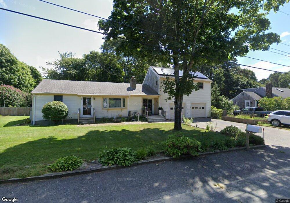
39 Herring Run Rd Harwich, MA 02645
Northwest Harwich NeighborhoodEstimated Value: $578,000 - $764,000
2
Beds
1
Bath
1,575
Sq Ft
$425/Sq Ft
Est. Value
About This Home
This home is located at 39 Herring Run Rd, Harwich, MA 02645 and is currently estimated at $669,244, approximately $424 per square foot. 39 Herring Run Rd is a home located in Barnstable County with nearby schools including Harwich Elementary School, Chatham Elementary School, and Monomoy Regional Middle School.
Ownership History
Date
Name
Owned For
Owner Type
Purchase Details
Closed on
Jul 5, 1967
Bought by
Awalt John and Awalt Mary C
Current Estimated Value
Create a Home Valuation Report for This Property
The Home Valuation Report is an in-depth analysis detailing your home's value as well as a comparison with similar homes in the area
Home Values in the Area
Average Home Value in this Area
Purchase History
| Date | Buyer | Sale Price | Title Company |
|---|---|---|---|
| Awalt John | -- | -- |
Source: Public Records
Mortgage History
| Date | Status | Borrower | Loan Amount |
|---|---|---|---|
| Open | Awalt John | $68,890 | |
| Open | Awalt John | $148,000 | |
| Closed | Awalt John | $25,000 |
Source: Public Records
Tax History Compared to Growth
Tax History
| Year | Tax Paid | Tax Assessment Tax Assessment Total Assessment is a certain percentage of the fair market value that is determined by local assessors to be the total taxable value of land and additions on the property. | Land | Improvement |
|---|---|---|---|---|
| 2025 | $3,620 | $612,500 | $179,900 | $432,600 |
| 2024 | $3,493 | $579,200 | $169,800 | $409,400 |
| 2023 | $3,332 | $501,800 | $154,300 | $347,500 |
| 2022 | $3,255 | $401,400 | $134,200 | $267,200 |
| 2021 | $2,946 | $342,500 | $101,700 | $240,800 |
| 2020 | $2,963 | $339,400 | $102,600 | $236,800 |
| 2019 | $2,788 | $321,600 | $97,700 | $223,900 |
| 2018 | $2,556 | $290,400 | $78,400 | $212,000 |
| 2017 | $2,424 | $270,200 | $61,900 | $208,300 |
| 2016 | $2,346 | $258,700 | $61,900 | $196,800 |
| 2015 | $2,259 | $251,800 | $60,700 | $191,100 |
| 2014 | $2,164 | $246,800 | $58,900 | $187,900 |
Source: Public Records
Map
Nearby Homes
- 537 Depot St
- 213 S Westgate Rd
- 418 Depot St
- 91 Depot Rd W
- 11 Lane Rd
- 360 Center St
- 116 Searsville Rd
- 171 Searsville Rd
- 64 Smith St
- 1 Shore Dr
- 141 Division St
- 141 Division St
- 24 Indian Trail
- 29 Highland St
- 37 Cyprus Rd
- 45 Route 28
- 47 Telegraph Rd Unit 1
- 78 Upper County Rd Unit A&B
- 78 Upper County Rd
- 79 Massachusetts 28
- 35 Herring Run Rd
- 103 Great Western Rd
- 32 Herring Run Rd
- 109 Great Western Rd
- 97 Great Western Rd
- 26 Herring Run Rd
- 31 Herring Run Rd
- 4 Hildas Cartway
- 93 Great Western Rd
- 27 Herring Run Rd
- 22 Herring Run Rd
- 100 Great Western Rd
- 2 Herring Run Rd
- 4 Herring Run Rd
- 23 Herring Run Rd
- 87 Great Western Rd
- 3 Hilda's Cartway
- 3 Hildas Cartway
- 117 Great Western Rd
- 116 Great Western Rd