Estimated Value: $305,965 - $354,000
--
Bed
1
Bath
2,106
Sq Ft
$158/Sq Ft
Est. Value
About This Home
This home is located at 39 High Point Way, Hiram, GA 30141 and is currently estimated at $333,241, approximately $158 per square foot. 39 High Point Way is a home with nearby schools including Hiram Elementary School, P. B. Ritch Middle School, and Hiram High School.
Ownership History
Date
Name
Owned For
Owner Type
Purchase Details
Closed on
Sep 18, 2025
Sold by
Cox Jonathan
Bought by
Cox Kasey
Current Estimated Value
Home Financials for this Owner
Home Financials are based on the most recent Mortgage that was taken out on this home.
Original Mortgage
$230,000
Outstanding Balance
$229,795
Interest Rate
6.58%
Mortgage Type
New Conventional
Estimated Equity
$103,446
Purchase Details
Closed on
Sep 30, 2013
Sold by
Sdc Gwinnett Llc
Bought by
Cox Jonathan
Home Financials for this Owner
Home Financials are based on the most recent Mortgage that was taken out on this home.
Original Mortgage
$128,713
Interest Rate
4.12%
Mortgage Type
FHA
Purchase Details
Closed on
May 24, 2013
Sold by
Bfp Funding Llc
Purchase Details
Closed on
May 20, 2013
Sold by
278 Development Llc
Create a Home Valuation Report for This Property
The Home Valuation Report is an in-depth analysis detailing your home's value as well as a comparison with similar homes in the area
Home Values in the Area
Average Home Value in this Area
Purchase History
| Date | Buyer | Sale Price | Title Company |
|---|---|---|---|
| Cox Kasey | -- | -- | |
| Cox Jonathan | $135,500 | -- | |
| Cox Jonathan | $135,485 | -- | |
| -- | $8,300 | -- | |
| -- | $8,300 | -- |
Source: Public Records
Mortgage History
| Date | Status | Borrower | Loan Amount |
|---|---|---|---|
| Open | Cox Kasey | $230,000 | |
| Previous Owner | Cox Jonathan | $128,713 | |
| Previous Owner | Cox Jonathan | $7,500 |
Source: Public Records
Tax History Compared to Growth
Tax History
| Year | Tax Paid | Tax Assessment Tax Assessment Total Assessment is a certain percentage of the fair market value that is determined by local assessors to be the total taxable value of land and additions on the property. | Land | Improvement |
|---|---|---|---|---|
| 2024 | $3,090 | $127,468 | $12,000 | $115,468 |
| 2023 | $3,416 | $133,572 | $12,000 | $121,572 |
| 2022 | $2,788 | $108,816 | $12,000 | $96,816 |
| 2021 | $2,325 | $81,880 | $12,000 | $69,880 |
| 2020 | $2,211 | $76,284 | $12,000 | $64,284 |
| 2019 | $2,196 | $74,744 | $12,000 | $62,744 |
| 2016 | $1,744 | $59,532 | $10,000 | $49,532 |
Source: Public Records
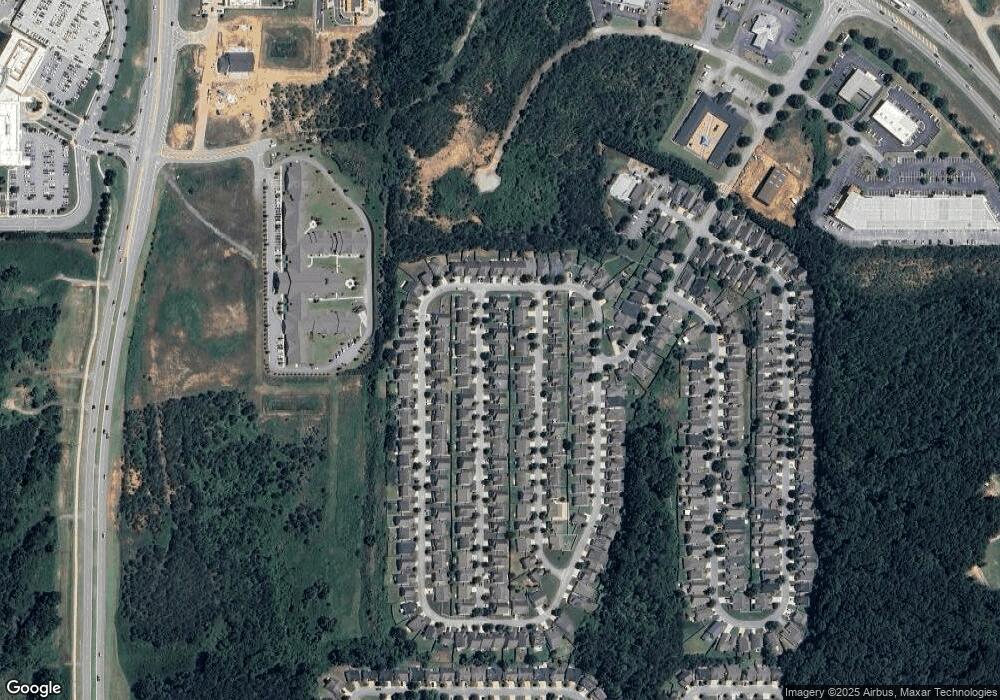
Map
Nearby Homes
- 386 Hill Crest Cir
- 536 Highland Falls Dr
- 00 Highland
- 146 Rosemont Ct
- 00 Highland Pavilion Ct
- 304 Greystone Pkwy
- 310 Bill Carruth Pkwy
- 0 Highway 278 NE Unit 10338401
- 52 Darbys Run Way
- 24 Darbys Run Way
- 9 Darbys Run Way
- 25 Derby Dr
- 4024 Atlanta Hwy
- 114 Crescent Woode Way
- 176 Crescent Woode Way
- 14 Berkten Ct
- 209 Enterprise Path
- 0 Old Mill Rd Unit 7632177
- 0 Old Mill Rd Unit 10569938
- 394 Charles Ridge
- 29 High Point Way
- 49 High Point Way Unit 280
- 49 High Point Way
- 40 Hill Side Way
- 30 Hill Side Way
- 50 Hill Side Way
- 17 High Point Way
- 57 High Point Way
- 0 High Point Way Unit 3238904
- 40 High Point Way
- 40 High Point Way Unit 288
- 50 High Point Way
- 28 High Point Way
- 18 Hill Side Way Unit Way
- 18 Hill Side Way
- 60 Hill Side Way Unit Way
- 60 Hill Side Way
- 60 High Point Way Unit 290
- 60 High Point Way
- 18 High Point Way