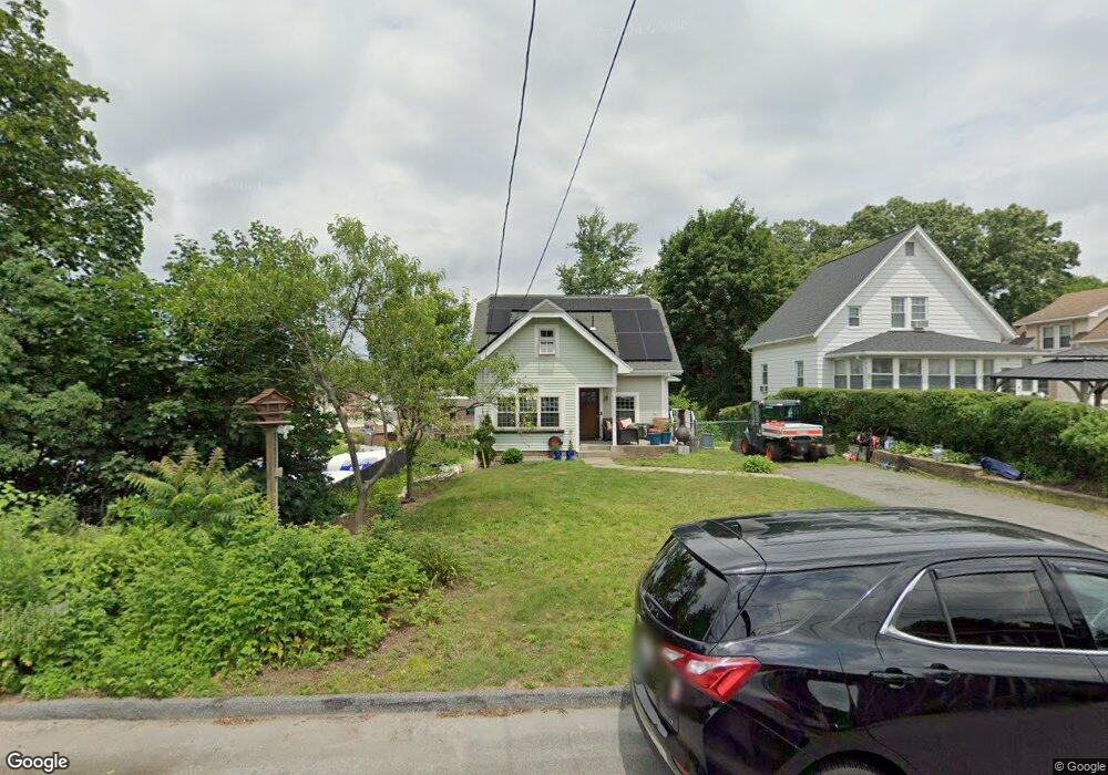
39 Ideal Rd Worcester, MA 01604
Broadmeadow Brook NeighborhoodEstimated Value: $317,000 - $406,000
2
Beds
1
Bath
1,282
Sq Ft
$295/Sq Ft
Est. Value
About This Home
This home is located at 39 Ideal Rd, Worcester, MA 01604 and is currently estimated at $377,692, approximately $294 per square foot. 39 Ideal Rd is a home located in Worcester County with nearby schools including Roosevelt Elementary School, Jacob Hiatt Magnet School, and Chandler Magnet.
Ownership History
Date
Name
Owned For
Owner Type
Purchase Details
Closed on
Sep 25, 2006
Sold by
Willard Eleanor H and Campolito Martha G
Bought by
Ringland Benjamin and Estrela Dalila
Current Estimated Value
Home Financials for this Owner
Home Financials are based on the most recent Mortgage that was taken out on this home.
Original Mortgage
$144,400
Outstanding Balance
$86,784
Interest Rate
6.59%
Mortgage Type
Purchase Money Mortgage
Estimated Equity
$290,908
Create a Home Valuation Report for This Property
The Home Valuation Report is an in-depth analysis detailing your home's value as well as a comparison with similar homes in the area
Home Values in the Area
Average Home Value in this Area
Purchase History
| Date | Buyer | Sale Price | Title Company |
|---|---|---|---|
| Ringland Benjamin | $180,500 | -- |
Source: Public Records
Mortgage History
| Date | Status | Borrower | Loan Amount |
|---|---|---|---|
| Open | Ringland Benjamin | $144,400 |
Source: Public Records
Tax History
| Year | Tax Paid | Tax Assessment Tax Assessment Total Assessment is a certain percentage of the fair market value that is determined by local assessors to be the total taxable value of land and additions on the property. | Land | Improvement |
|---|---|---|---|---|
| 2025 | $4,500 | $341,200 | $118,300 | $222,900 |
| 2024 | $4,356 | $316,800 | $118,300 | $198,500 |
| 2023 | $4,172 | $290,900 | $102,900 | $188,000 |
| 2022 | $3,792 | $249,300 | $82,300 | $167,000 |
| 2021 | $3,573 | $219,500 | $65,900 | $153,600 |
| 2020 | $3,471 | $204,200 | $65,900 | $138,300 |
| 2019 | $3,274 | $181,900 | $59,300 | $122,600 |
| 2018 | $3,270 | $172,900 | $59,300 | $113,600 |
| 2017 | $3,167 | $164,800 | $59,300 | $105,500 |
| 2016 | $3,100 | $150,400 | $43,400 | $107,000 |
| 2015 | $2,996 | $149,300 | $43,400 | $105,900 |
| 2014 | $2,917 | $149,300 | $43,400 | $105,900 |
Source: Public Records
Map
Nearby Homes
- 2 Salisbury St
- 15 Lakeside Dr
- 47 Pointe Rok Dr Unit 47,G
- 62 Edgemere Blvd
- 10 George St
- 12 Bruce St
- 6 Nathaniel St
- 1195 Grafton St Unit 29
- 1195 Grafton St Unit 19
- 1195 Grafton St Unit 39
- 7 Clarissa St
- 1459 Grafton Rd
- 11 Maplewood Rd
- 151 Hartford Turnpike
- 151 Hartford Turnpike Unit 16
- 7 Barbara St
- 365 Lake Ave
- 9 Marissa Cir
- 330 Sunderland Rd Unit 80
- 16-18 Fairfax St
- 41 Ideal Rd
- 43 Ideal Rd
- 45 Ideal Rd
- 2 Pineland Ave Unit 11A
- 2 Pineland Ave Unit varies
- 2 Pineland Ave Unit 12A
- 2 Pineland Ave Unit 10B
- 2 Pineland Ave Unit 5A
- 40 Ideal Rd
- 38 Ideal Rd
- 42 Ideal Rd
- 44 Ideal Rd
- 632 Sunderland Rd
- 34 Ideal Rd
- 49 Ideal Rd
- 46 Ideal Rd
- 29 Westborough St
- 636 Sunderland Rd
- 636 Sunderland Rd Unit 2
- 27 Westborough St
Your Personal Tour Guide
Ask me questions while you tour the home.