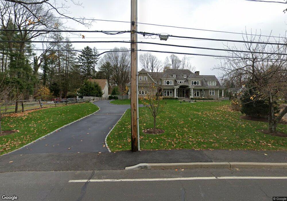
39 Imperial Ave Unit 3RD F Westport, CT 06880
Westport Village NeighborhoodEstimated Value: $4,254,000 - $5,803,000
1
Bed
1
Bath
450
Sq Ft
$10,909/Sq Ft
Est. Value
About This Home
This home is located at 39 Imperial Ave Unit 3RD F, Westport, CT 06880 and is currently estimated at $4,909,055, approximately $10,909 per square foot. 39 Imperial Ave Unit 3RD F is a home located in Fairfield County with nearby schools including Saugatuck Elementary School, Bedford Middle School, and Staples High School.
Ownership History
Date
Name
Owned For
Owner Type
Purchase Details
Closed on
Oct 6, 2016
Sold by
Friedman Andrew N Jr E
Bought by
Charise Justin
Current Estimated Value
Purchase Details
Closed on
Jan 8, 2016
Sold by
Friedman Barbara Herta and Sargent Thomas C
Bought by
Friedman Andrew N and Friedman Drew
Create a Home Valuation Report for This Property
The Home Valuation Report is an in-depth analysis detailing your home's value as well as a comparison with similar homes in the area
Home Values in the Area
Average Home Value in this Area
Purchase History
| Date | Buyer | Sale Price | Title Company |
|---|---|---|---|
| Charise Justin | $1,100,000 | -- | |
| Charise Justin | $1,100,000 | -- | |
| Friedman Andrew N | -- | -- | |
| Friedman Andrew N | -- | -- | |
| Charise Justin | $1,100,000 | -- | |
| Friedman Andrew N | -- | -- |
Source: Public Records
Mortgage History
| Date | Status | Borrower | Loan Amount |
|---|---|---|---|
| Previous Owner | Friedman Andrew N | $600,000 | |
| Previous Owner | Friedman Andrew N | $250,000 |
Source: Public Records
Tax History Compared to Growth
Tax History
| Year | Tax Paid | Tax Assessment Tax Assessment Total Assessment is a certain percentage of the fair market value that is determined by local assessors to be the total taxable value of land and additions on the property. | Land | Improvement |
|---|---|---|---|---|
| 2025 | $42,501 | $2,253,500 | $441,100 | $1,812,400 |
| 2024 | $41,960 | $2,253,500 | $441,100 | $1,812,400 |
| 2023 | $41,352 | $2,253,500 | $441,100 | $1,812,400 |
| 2022 | $40,721 | $2,253,500 | $441,100 | $1,812,400 |
| 2021 | $40,721 | $2,253,500 | $441,100 | $1,812,400 |
| 2020 | $9,512 | $2,392,800 | $425,700 | $1,967,100 |
| 2019 | $7,957 | $2,392,800 | $425,700 | $1,967,100 |
| 2018 | $9,299 | $1,829,700 | $425,700 | $1,404,000 |
| 2017 | $9,126 | $885,000 | $425,700 | $459,300 |
| 2016 | $14,921 | $885,000 | $425,700 | $459,300 |
| 2015 | $17,929 | $991,100 | $352,000 | $639,100 |
| 2014 | $17,780 | $991,100 | $352,000 | $639,100 |
Source: Public Records
Map
Nearby Homes
- 5 Over Rock Ln
- 21 Wright St
- 60 Wilton Rd Unit 2C
- 9 Crescent Park Rd
- 26 Crescent Park Rd
- 3 Laurel Ln
- 113 Kings Hwy N
- 11 Old Hill Rd
- 2 Webb Rd
- 32 Webb Rd
- 5 Franklin Ave
- 20 Old Hill Rd
- 7 Wild Rose Rd
- 171 Compo Rd S
- 171 & 169 Compo Rd S
- 4 Woods Grove Rd
- 29 Guyer Rd
- 19A Darbrook Rd
- 3 Hickory Hill Rd
- 785 Post Rd E Unit 301
- 39 Imperial Ave
- 4 Foxfire Ln
- 47 Imperial Ave
- 37 Imperial Ave
- 5 Foxfire Ln
- 29 Imperial Ave Unit 2
- 29 Imperial Ave Unit 29A
- 29 Imperial Ave Unit A
- 6 Foxfire Ln
- 3 Thomas Rd
- 33 Imperial Ave
- 31 Imperial Ave
- 7 Foxfire Ln
- 10 Foxfire Ln
- 5 Thomas Rd
- 27 Imperial Ave
- 2A Thomas Rd
- 4 Thomas Rd
- 25 Imperial Ave
- 2 Thomas Rd