39 Intervale Rd Dudley, MA 01571
Estimated Value: $509,607 - $566,000
3
Beds
3
Baths
1,696
Sq Ft
$322/Sq Ft
Est. Value
About This Home
This home is located at 39 Intervale Rd, Dudley, MA 01571 and is currently estimated at $545,652, approximately $321 per square foot. 39 Intervale Rd is a home located in Worcester County with nearby schools including Shepherd Hill Regional High School.
Ownership History
Date
Name
Owned For
Owner Type
Purchase Details
Closed on
Dec 27, 2025
Sold by
Foley Robin J
Bought by
Foley Ft and Foley
Current Estimated Value
Purchase Details
Closed on
Jun 6, 2024
Sold by
Foley Robin and Marrier Susan M
Bought by
Foley Robin
Purchase Details
Closed on
Oct 11, 2006
Sold by
Marrier Robert J and Marrier Susan M
Bought by
Marrier Susan M and Foley Robin
Create a Home Valuation Report for This Property
The Home Valuation Report is an in-depth analysis detailing your home's value as well as a comparison with similar homes in the area
Home Values in the Area
Average Home Value in this Area
Purchase History
| Date | Buyer | Sale Price | Title Company |
|---|---|---|---|
| Foley Ft | -- | -- | |
| Foley Robin | -- | None Available | |
| Foley Robin | -- | None Available | |
| Marrier Susan M | -- | -- | |
| Marrier Susan M | -- | -- |
Source: Public Records
Tax History
| Year | Tax Paid | Tax Assessment Tax Assessment Total Assessment is a certain percentage of the fair market value that is determined by local assessors to be the total taxable value of land and additions on the property. | Land | Improvement |
|---|---|---|---|---|
| 2025 | $50 | $475,800 | $87,100 | $388,700 |
| 2024 | $4,677 | $446,300 | $82,700 | $363,600 |
| 2023 | $4,177 | $411,100 | $76,400 | $334,700 |
| 2022 | $4,048 | $346,000 | $67,100 | $278,900 |
| 2021 | $3,980 | $323,600 | $64,200 | $259,400 |
| 2020 | $3,966 | $303,700 | $61,200 | $242,500 |
| 2019 | $4,005 | $296,700 | $61,200 | $235,500 |
| 2018 | $3,336 | $284,400 | $61,200 | $223,200 |
| 2017 | $3,245 | $271,800 | $61,200 | $210,600 |
| 2016 | $3,270 | $268,500 | $58,200 | $210,300 |
| 2015 | $3,042 | $248,100 | $55,000 | $193,100 |
Source: Public Records
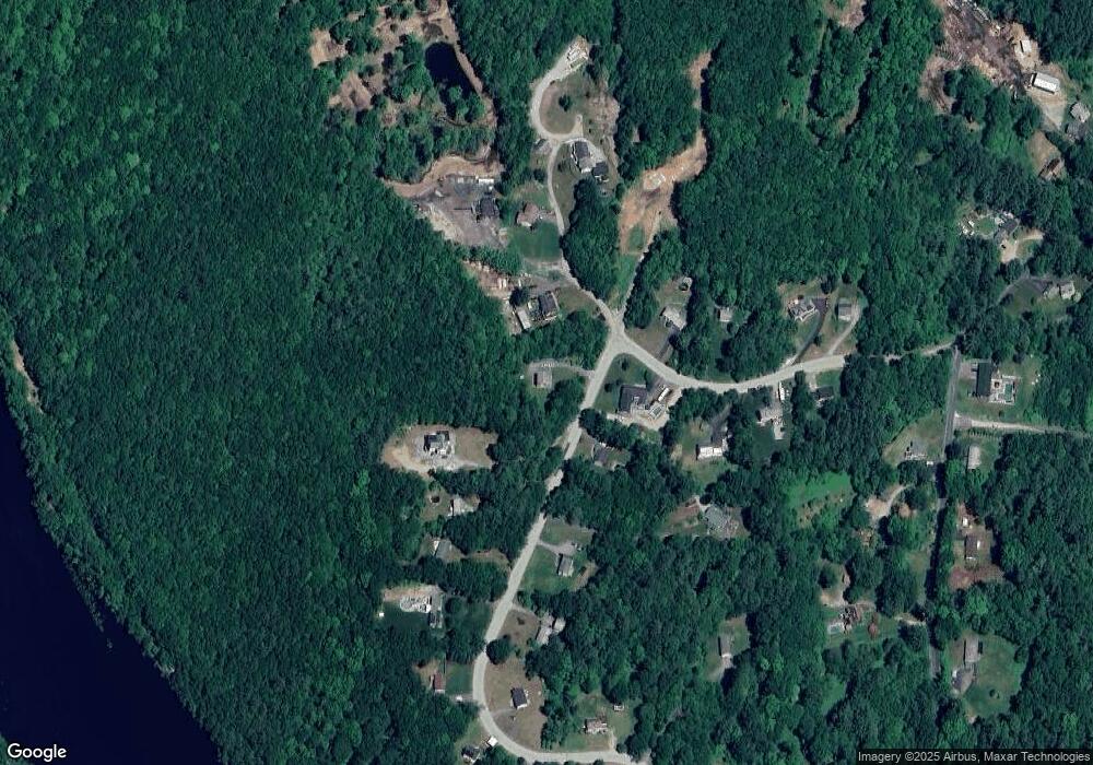
Map
Nearby Homes
- 768 Ashland Ave
- 4 W Dudley Rd
- 87 Red Fox Blvd
- 249 Dudley Southbridge Rd
- 104 Riverview Place Unit C
- 72 NW Schoolhouse Rd
- 325 Ashland Ave Unit 10
- 325 Ashland Ave Unit 12
- 128 Old Southbridge Rd
- 858 N Woodstock Rd
- 0 Old North Woodstock Rd
- 126 Old Southbridge Rd
- 7 King Rd
- 60 Saundersdale Rd
- 82 Prince Rd
- 24 Railroad Ave
- 86 Ramshorn Rd
- 25 Quinebaug Rd
- 28 Armory Ln
- 104 Hilltop Dr
Your Personal Tour Guide
Ask me questions while you tour the home.