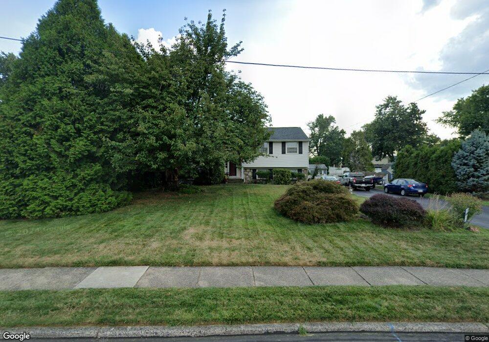
39 Latchstring Ln Hatboro, PA 19040
Estimated Value: $474,069 - $540,000
4
Beds
2
Baths
2,172
Sq Ft
$239/Sq Ft
Est. Value
About This Home
This home is located at 39 Latchstring Ln, Hatboro, PA 19040 and is currently estimated at $518,517, approximately $238 per square foot. 39 Latchstring Ln is a home located in Montgomery County with nearby schools including Hallowell Elementary School, Keith Valley Middle School, and Hatboro-Horsham Senior High School.
Ownership History
Date
Name
Owned For
Owner Type
Purchase Details
Closed on
May 20, 2005
Sold by
Dipietro Nino and Dipietro Paul
Bought by
Plunkett Brian T and Plunkett Maureen M
Current Estimated Value
Home Financials for this Owner
Home Financials are based on the most recent Mortgage that was taken out on this home.
Original Mortgage
$251,900
Outstanding Balance
$131,258
Interest Rate
5.83%
Mortgage Type
New Conventional
Estimated Equity
$387,259
Create a Home Valuation Report for This Property
The Home Valuation Report is an in-depth analysis detailing your home's value as well as a comparison with similar homes in the area
Home Values in the Area
Average Home Value in this Area
Purchase History
| Date | Buyer | Sale Price | Title Company |
|---|---|---|---|
| Plunkett Brian T | $314,900 | -- |
Source: Public Records
Mortgage History
| Date | Status | Borrower | Loan Amount |
|---|---|---|---|
| Open | Plunkett Brian T | $251,900 |
Source: Public Records
Tax History
| Year | Tax Paid | Tax Assessment Tax Assessment Total Assessment is a certain percentage of the fair market value that is determined by local assessors to be the total taxable value of land and additions on the property. | Land | Improvement |
|---|---|---|---|---|
| 2025 | $5,499 | $139,870 | $47,030 | $92,840 |
| 2024 | $5,499 | $139,870 | $47,030 | $92,840 |
| 2023 | $5,235 | $139,870 | $47,030 | $92,840 |
| 2022 | $5,064 | $139,870 | $47,030 | $92,840 |
| 2021 | $4,944 | $139,870 | $47,030 | $92,840 |
| 2020 | $4,827 | $139,870 | $47,030 | $92,840 |
| 2019 | $4,735 | $139,870 | $47,030 | $92,840 |
Source: Public Records
Map
Nearby Homes
- 25 Patriot Ln
- 18 Patriot Ln
- 36 Patriot Ln
- 604 Liberty Ridge Rd
- 616 Liberty Ridge Rd
- 537 Sherwood Ln
- 619 Liberty Ridge Rd
- 623 Liberty Ridge Rd
- 602 America Dr Unit FARADAY MODEL HOME
- 604 America #Northbrook Model Dr
- 532 Sherwood Ln
- 607 America Dr
- 1171 W County Line Rd
- 60 Caledonia Dr
- 204 Wilson Ave
- 711 W County Line Rd
- 407 W Moreland Ave
- 1246 Victoria Rd
- 733 W County Line Rd
- 1454 Kingsley Dr
- 37 Latchstring Ln
- 52 Buckman Dr
- 621 Brumar Dr
- 50 Buckman Dr
- 35 Latchstring Ln
- 48 Buckman Dr
- 34 Latchstring Ln
- 36 Latchstring Ln
- 54 Buckman Dr
- 32 Latchstring Ln
- 46 Buckman Dr
- 33 Latchstring Ln
- 615 Brumar Dr
- 30 Latchstring Ln
- 622 Brumar Dr
- 44 Buckman Dr
- 624 Brumar Dr
- 620 Brumar Dr
- 626 Brumar Dr
- 51 Buckman Dr
Your Personal Tour Guide
Ask me questions while you tour the home.