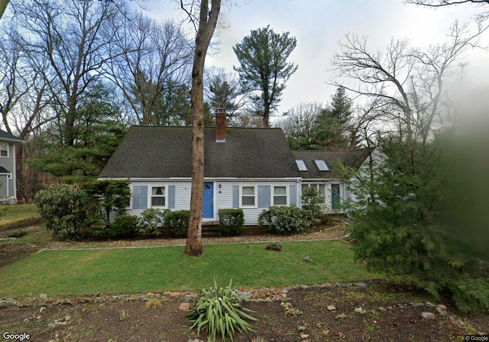
39 Macarthur Rd Wellesley, MA 02482
Wellesley AreaEstimated Value: $1,347,000 - $1,785,000
About This Home
This home is located at 39 Macarthur Rd, Wellesley, MA 02482 and is currently estimated at $1,486,656, approximately $699 per square foot. 39 Macarthur Rd is a home located in Norfolk County with nearby schools including John D. Hardy Elementary School, Wellesley Middle School, and Wellesley Sr High School.
Ownership History
We collect this data history from publicly available records. To have your information removed, we recommend requesting removal directly through your county’s website.
Purchase Details
Home Financials for this Owner
Home Financials are based on the most recent Mortgage that was taken out on this home.Purchase History
We collect this data history from publicly available records. To have your information removed, we recommend requesting removal directly through your county’s website.
| Date | Buyer | Sale Price | Title Company |
|---|---|---|---|
| $1,400,000 | -- |
Mortgage History
We collect this data history from publicly available records. To have your information removed, we recommend requesting removal directly through your county’s website.
| Date | Status | Borrower | Loan Amount |
|---|---|---|---|
| Open | $2,375,000 | ||
| Closed | $840,000 | ||
| Previous Owner | $222,000 | ||
| Previous Owner | $303,000 | ||
| Previous Owner | $303,500 | ||
| Previous Owner | $305,000 | ||
| Previous Owner | $310,000 | ||
| Previous Owner | $311,800 | ||
| Previous Owner | $312,000 | ||
| Previous Owner | $306,200 | ||
| Previous Owner | $310,000 | ||
| Previous Owner | $200,000 | ||
| Previous Owner | $300,000 | ||
| Previous Owner | $300,000 | ||
| Previous Owner | $250,000 |
Tax History
We collect this data history from publicly available records. To have your information removed, we recommend requesting removal directly through your county’s website.
| Year | Tax Paid | Tax Assessment Tax Assessment Total Assessment is a certain percentage of the fair market value that is determined by local assessors to be the total taxable value of land and additions on the property. | Land | Improvement |
|---|---|---|---|---|
| 2025 | $12,336 | $1,200,000 | $1,010,000 | $190,000 |
| 2024 | $11,482 | $1,103,000 | $918,000 | $185,000 |
| 2023 | $11,530 | $1,007,000 | $814,000 | $193,000 |
| 2022 | $10,722 | $918,000 | $699,000 | $219,000 |
| 2021 | $10,422 | $887,000 | $668,000 | $219,000 |
| 2020 | $10,254 | $887,000 | $668,000 | $219,000 |
| 2019 | $9,811 | $848,000 | $638,000 | $210,000 |
| 2018 | $9,405 | $787,000 | $625,000 | $162,000 |
| 2017 | $9,279 | $787,000 | $625,000 | $162,000 |
| 2016 | $9,121 | $771,000 | $615,000 | $156,000 |
| 2015 | $8,566 | $741,000 | $585,000 | $156,000 |
Map
- 35 Marshall Rd
- 265 Weston Rd
- 63 Russell Rd
- 48 Marshall Rd
- 11 Shadow Ln
- 12 Russell Rd Unit 103
- 33 Hickory Rd
- 35 Cleveland Rd
- 10 Wilde Rd
- 59 Cleveland Rd
- 7 Massasoit Rd
- 148 Weston Rd Unit 304
- 53 Elmwood Rd
- 3 Berkeley Rd
- 30R Morses Pond Rd
- 33 Linden St
- 200 Pond Rd
- 26 Pleasant St Unit B
- 63 Oak St Unit A
- 63 Oak St Unit B
- 35 Macarthur Rd
- 31 Macarthur Rd
- 8 Morrill Cir
- 36 Macarthur Rd
- 36 Hodges Ave
- 6 Morrill Cir
- 27 Macarthur Rd
- 40 Macarthur Rd
- 43 Macarthur Rd
- 10 Morrill Cir
- 26 Macarthur Rd
- 44 Macarthur Rd
- 41 Patton Rd
- 23 Macarthur Rd
- 32 Hodges Ave
- 4 Morrill Cir
- 25 Fisher Ave
- 45 Patton Rd
- 45 Patton Rd Unit 1
- 47 Macarthur Rd
Ask me questions while you tour the home.