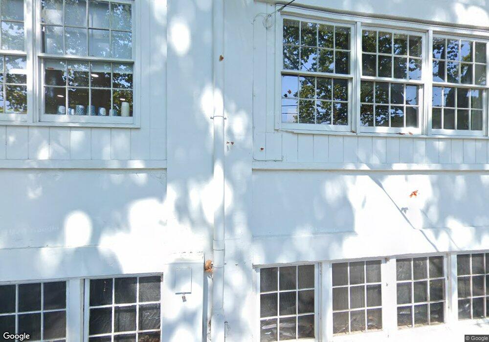
39 Main St Deep River, CT 06417
Estimated Value: $302,019
Studio
--
Bath
6,326
Sq Ft
$48/Sq Ft
Est. Value
About This Home
This home is located at 39 Main St, Deep River, CT 06417 and is currently estimated at $302,019, approximately $47 per square foot. 39 Main St is a home located in Middlesex County with nearby schools including Valley Regional High School.
Ownership History
Date
Name
Owned For
Owner Type
Purchase Details
Closed on
Feb 16, 2022
Sold by
Chalk Realty Llc
Bought by
M & M New Properties Llc
Current Estimated Value
Purchase Details
Closed on
Sep 15, 2017
Sold by
Rivercross Llc
Bought by
Chalk Realty Llc
Home Financials for this Owner
Home Financials are based on the most recent Mortgage that was taken out on this home.
Original Mortgage
$156,750
Interest Rate
3.93%
Mortgage Type
Commercial
Purchase Details
Closed on
Jul 31, 2002
Sold by
Karkowski David B
Bought by
Riv Cross Llc
Create a Home Valuation Report for This Property
The Home Valuation Report is an in-depth analysis detailing your home's value as well as a comparison with similar homes in the area
Home Values in the Area
Average Home Value in this Area
Purchase History
| Date | Buyer | Sale Price | Title Company |
|---|---|---|---|
| M & M New Properties Llc | -- | None Available | |
| Chalk Realty Llc | $179,000 | -- | |
| Riv Cross Llc | $225,000 | -- |
Source: Public Records
Mortgage History
| Date | Status | Borrower | Loan Amount |
|---|---|---|---|
| Previous Owner | Chalk Realty Llc | $156,750 | |
| Previous Owner | Riv Cross Llc | $69,500 | |
| Previous Owner | Riv Cross Llc | $195,000 |
Source: Public Records
Tax History
| Year | Tax Paid | Tax Assessment Tax Assessment Total Assessment is a certain percentage of the fair market value that is determined by local assessors to be the total taxable value of land and additions on the property. | Land | Improvement |
|---|---|---|---|---|
| 2025 | $6,776 | $211,890 | $52,640 | $159,250 |
| 2024 | $6,493 | $206,920 | $52,640 | $154,280 |
| 2023 | $6,183 | $206,920 | $52,640 | $154,280 |
| 2022 | $5,997 | $206,920 | $52,640 | $154,280 |
| 2021 | $6,121 | $206,920 | $52,640 | $154,280 |
| 2020 | $7,566 | $252,280 | $62,720 | $189,560 |
| 2019 | $7,422 | $252,280 | $62,720 | $189,560 |
| 2018 | $7,422 | $252,280 | $62,720 | $189,560 |
| 2017 | $7,296 | $252,280 | $62,720 | $189,560 |
| 2016 | $6,945 | $252,280 | $62,720 | $189,560 |
| 2015 | $7,049 | $268,240 | $56,420 | $211,820 |
| 2014 | $6,942 | $268,240 | $56,420 | $211,820 |
Source: Public Records
Map
Nearby Homes
- 11 Winter Ave
- 33 Castle Heights
- 87 Main St
- 92 Main St Unit 202
- 92 Main St Unit 206
- 92 Main St Unit 101
- 8 Prospect Hill
- 62 River St
- 170 Main St
- 113 Union St Unit Z
- 79 Middlesex Ave
- 209 Main St
- 43 Bokum Rd
- 25 Union St
- 6 Pelton Hill Rd
- 1 Ferry Rd
- 11 Kings Hwy
- 26 Ferry Rd
- 153 Ferry Rd
- 134 Meadow Woods Rd
Your Personal Tour Guide
Ask me questions while you tour the home.