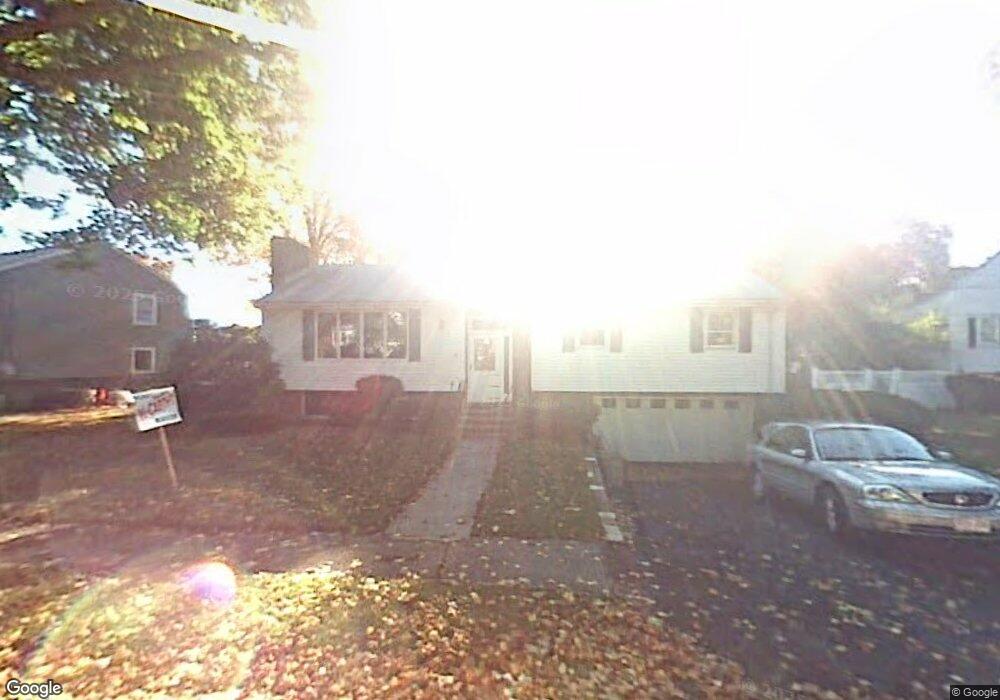
39 Mallard Way Waltham, MA 02452
North Waltham NeighborhoodEstimated Value: $778,000 - $1,019,000
3
Beds
2
Baths
1,500
Sq Ft
$609/Sq Ft
Est. Value
About This Home
This home is located at 39 Mallard Way, Waltham, MA 02452 and is currently estimated at $913,925, approximately $609 per square foot. 39 Mallard Way is a home located in Middlesex County with nearby schools including Northeast Elementary School, John F Kennedy Middle School, and Waltham Sr High School.
Ownership History
Date
Name
Owned For
Owner Type
Purchase Details
Closed on
Nov 26, 2008
Sold by
39 Mallard Way Nt
Bought by
Cormier Allan J
Current Estimated Value
Home Financials for this Owner
Home Financials are based on the most recent Mortgage that was taken out on this home.
Original Mortgage
$250,000
Outstanding Balance
$167,907
Interest Rate
6.47%
Mortgage Type
Purchase Money Mortgage
Estimated Equity
$746,018
Create a Home Valuation Report for This Property
The Home Valuation Report is an in-depth analysis detailing your home's value as well as a comparison with similar homes in the area
Home Values in the Area
Average Home Value in this Area
Purchase History
| Date | Buyer | Sale Price | Title Company |
|---|---|---|---|
| Cormier Allan J | $430,000 | -- |
Source: Public Records
Mortgage History
| Date | Status | Borrower | Loan Amount |
|---|---|---|---|
| Open | Cormier Allan J | $250,000 |
Source: Public Records
Tax History Compared to Growth
Tax History
| Year | Tax Paid | Tax Assessment Tax Assessment Total Assessment is a certain percentage of the fair market value that is determined by local assessors to be the total taxable value of land and additions on the property. | Land | Improvement |
|---|---|---|---|---|
| 2025 | $7,829 | $797,300 | $485,100 | $312,200 |
| 2024 | $7,424 | $770,100 | $462,400 | $307,700 |
| 2023 | $7,344 | $711,600 | $420,300 | $291,300 |
| 2022 | $7,703 | $691,500 | $411,900 | $279,600 |
| 2021 | $7,481 | $660,900 | $395,100 | $265,800 |
| 2020 | $5,330 | $597,400 | $369,900 | $227,500 |
| 2019 | $7,257 | $573,200 | $354,100 | $219,100 |
| 2018 | $4,979 | $502,000 | $327,900 | $174,100 |
| 2017 | $5,935 | $472,500 | $298,400 | $174,100 |
| 2016 | $5,629 | $459,900 | $285,800 | $174,100 |
| 2015 | $5,444 | $414,600 | $256,400 | $158,200 |
Source: Public Records
Map
Nearby Homes
- 38 Van Vechten St
- 45 Chase Rd
- 9 Stanley Rd
- 100 Shirley Rd
- 51 S Cottage Rd Unit 112
- 26 Brookfield Rd
- 50 Moraine St
- 51 Harrington St Unit 51
- 51 Harrington St Unit 53
- 236 Sycamore St
- 1 Bridgham Ave
- 253 Sycamore St Unit 253
- 36 Hollace St
- 135 Marsh St
- 55-57 Hawthorne St
- 160 Waverley St
- 23 Centre Ave
- 70 Rosewood Dr
- 116 Raffaele Dr
- 53 Crestview Rd
- 31 Mallard Way
- 47 Mallard Way
- 16 Beaver Brook Rd
- 55 Mallard Way
- 21 Mallard Way
- 42 Mallard Way
- 99 Albemarle Rd
- 48 Mallard Way
- 10 Beaver Brook Rd
- 10 Beaver Brook Rd Unit 1
- 36 Mallard Way
- 24 Beaver Brook Rd
- 101 Albemarle Rd
- 4 Beaver Brook Rd
- 61 Mallard Way
- 56 Mallard Way
- 30 Mallard Way
- 15 Beaver Brook Rd
- 24 Mallard Way
- 62 Mallard Way