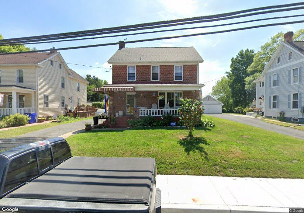
39 Maple Ave Walkersville, MD 21793
Estimated Value: $422,000 - $488,000
--
Bed
1
Bath
1,708
Sq Ft
$262/Sq Ft
Est. Value
About This Home
This home is located at 39 Maple Ave, Walkersville, MD 21793 and is currently estimated at $448,119, approximately $262 per square foot. 39 Maple Ave is a home located in Frederick County with nearby schools including Walkersville Elementary School, Walkersville Middle School, and Walkersville High School.
Ownership History
Date
Name
Owned For
Owner Type
Purchase Details
Closed on
Nov 21, 2005
Sold by
Smith Rol and Smith E
Bought by
Brittain James P and Brittain Angela M
Current Estimated Value
Home Financials for this Owner
Home Financials are based on the most recent Mortgage that was taken out on this home.
Original Mortgage
$100,000
Outstanding Balance
$54,859
Interest Rate
6.06%
Mortgage Type
New Conventional
Estimated Equity
$393,260
Purchase Details
Closed on
Nov 18, 1987
Sold by
English Julia G
Bought by
Smith Roland E and Smith Barbara G
Home Financials for this Owner
Home Financials are based on the most recent Mortgage that was taken out on this home.
Original Mortgage
$55,000
Interest Rate
10.66%
Create a Home Valuation Report for This Property
The Home Valuation Report is an in-depth analysis detailing your home's value as well as a comparison with similar homes in the area
Home Values in the Area
Average Home Value in this Area
Purchase History
| Date | Buyer | Sale Price | Title Company |
|---|---|---|---|
| Brittain James P | $340,000 | -- | |
| Smith Roland E | $85,000 | -- |
Source: Public Records
Mortgage History
| Date | Status | Borrower | Loan Amount |
|---|---|---|---|
| Open | Brittain James P | $100,000 | |
| Previous Owner | Smith Roland E | $55,000 |
Source: Public Records
Tax History Compared to Growth
Tax History
| Year | Tax Paid | Tax Assessment Tax Assessment Total Assessment is a certain percentage of the fair market value that is determined by local assessors to be the total taxable value of land and additions on the property. | Land | Improvement |
|---|---|---|---|---|
| 2025 | $4,466 | $344,200 | $113,600 | $230,600 |
| 2024 | $4,466 | $324,400 | $0 | $0 |
| 2023 | $4,048 | $304,600 | $0 | $0 |
| 2022 | $3,790 | $284,800 | $95,100 | $189,700 |
| 2021 | $3,423 | $270,667 | $0 | $0 |
| 2020 | $3,423 | $256,533 | $0 | $0 |
| 2019 | $3,287 | $242,400 | $85,400 | $157,000 |
| 2018 | $3,299 | $241,067 | $0 | $0 |
| 2017 | $3,252 | $242,400 | $0 | $0 |
| 2016 | $3,067 | $238,400 | $0 | $0 |
| 2015 | $3,067 | $236,133 | $0 | $0 |
| 2014 | $3,067 | $233,867 | $0 | $0 |
Source: Public Records
Map
Nearby Homes
- 36 Maple Ave
- 29 Fulton Ave
- 3 W George St
- 4 Maple Ave
- 15 W Frederick St
- 13 Georgetown Rd
- 155 Polaris Dr
- 100 Chapel Ct
- 209 Silver Stone Dr
- 8789 Hickory Hill
- 122 Sandalwood Ct
- 2814A Wildwood Ct
- 109 Glade Blvd
- 102 Glade Blvd
- 9401 Daysville Ave
- 207 Bellgate Ct
- 235 Braeburn Dr
- 8806 Adventure Ave
- 204 Cartwright Rd
- 249 Kerchner Rd