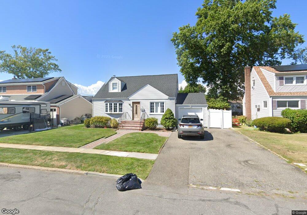
39 Maple Dr Unit 1st Fl Lindenhurst, NY 11757
Estimated Value: $583,158 - $1,017,000
2
Beds
1
Bath
1,339
Sq Ft
$532/Sq Ft
Est. Value
About This Home
This home is located at 39 Maple Dr Unit 1st Fl, Lindenhurst, NY 11757 and is currently estimated at $712,540, approximately $532 per square foot. 39 Maple Dr Unit 1st Fl is a home located in Suffolk County with nearby schools including William Rall School, Lindenhurst Middle School, and Lindenhurst Senior High School.
Ownership History
Date
Name
Owned For
Owner Type
Purchase Details
Closed on
Aug 3, 2022
Sold by
Moskover Peter
Bought by
Pnbc Realty Llc
Current Estimated Value
Purchase Details
Closed on
Jan 26, 2018
Sold by
Lee Cherryl
Bought by
Moskover Peter
Purchase Details
Closed on
Jun 20, 2002
Sold by
Panzarella Elizabeth
Bought by
Vogl Carmen
Home Financials for this Owner
Home Financials are based on the most recent Mortgage that was taken out on this home.
Original Mortgage
$10,000
Interest Rate
6.79%
Mortgage Type
Unknown
Purchase Details
Closed on
Jan 29, 1998
Sold by
Purcell Robert J and Purcell Cheryl E
Bought by
Panzarella Elizabeth
Home Financials for this Owner
Home Financials are based on the most recent Mortgage that was taken out on this home.
Original Mortgage
$125,920
Interest Rate
6.95%
Mortgage Type
FHA
Create a Home Valuation Report for This Property
The Home Valuation Report is an in-depth analysis detailing your home's value as well as a comparison with similar homes in the area
Home Values in the Area
Average Home Value in this Area
Purchase History
| Date | Buyer | Sale Price | Title Company |
|---|---|---|---|
| Pnbc Realty Llc | -- | None Available | |
| Moskover Peter | -- | -- | |
| Vogl Carmen | $234,350 | Chicago Title Insurance Co | |
| Panzarella Elizabeth | $126,140 | Commonwealth Land Title Ins |
Source: Public Records
Mortgage History
| Date | Status | Borrower | Loan Amount |
|---|---|---|---|
| Previous Owner | Vogl Carmen | $10,000 | |
| Previous Owner | Vogl Carmen | $210,915 | |
| Previous Owner | Panzarella Elizabeth | $125,920 |
Source: Public Records
Tax History
| Year | Tax Paid | Tax Assessment Tax Assessment Total Assessment is a certain percentage of the fair market value that is determined by local assessors to be the total taxable value of land and additions on the property. | Land | Improvement |
|---|---|---|---|---|
| 2024 | $12,270 | $2,980 | $330 | $2,650 |
| 2023 | $12,270 | $2,980 | $330 | $2,650 |
| 2022 | $10,647 | $2,980 | $330 | $2,650 |
| 2021 | $10,647 | $2,980 | $330 | $2,650 |
| 2020 | $10,841 | $2,980 | $330 | $2,650 |
| 2019 | $10,841 | $0 | $0 | $0 |
| 2018 | -- | $2,980 | $330 | $2,650 |
| 2017 | $10,412 | $2,980 | $330 | $2,650 |
| 2016 | $10,485 | $2,980 | $330 | $2,650 |
| 2015 | -- | $2,980 | $330 | $2,650 |
| 2014 | -- | $2,980 | $330 | $2,650 |
Source: Public Records
Map
Nearby Homes
Your Personal Tour Guide
Ask me questions while you tour the home.