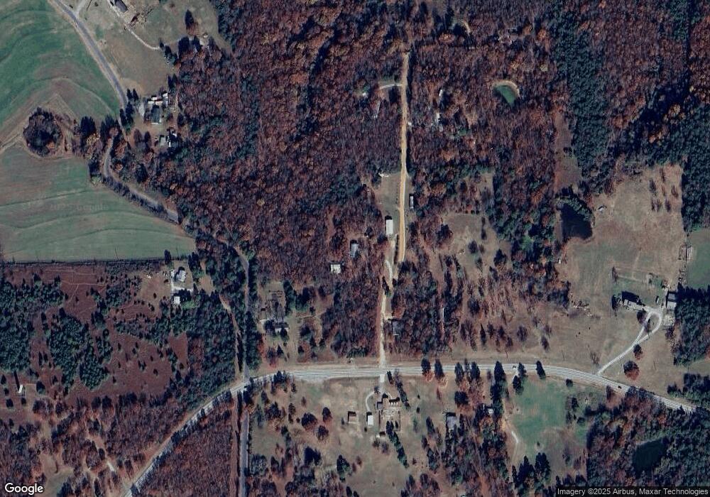
39 Marce Ln Locust Grove, AR 72550
Estimated Value: $116,881 - $210,000
3
Beds
2
Baths
1,328
Sq Ft
$132/Sq Ft
Est. Value
About This Home
This home is located at 39 Marce Ln, Locust Grove, AR 72550 and is currently estimated at $175,220, approximately $131 per square foot. 39 Marce Ln is a home located in Independence County with nearby schools including Concord Elementary School and Concord High School.
Ownership History
Date
Name
Owned For
Owner Type
Purchase Details
Closed on
Oct 8, 2010
Bought by
Smith Jesse L and Smith Pamila D
Current Estimated Value
Purchase Details
Closed on
Jan 20, 2009
Bought by
Baumgardner Belinda
Purchase Details
Closed on
Oct 27, 1987
Bought by
Barnett Cullen and Leda Barnett
Purchase Details
Closed on
Mar 4, 1987
Bought by
Blake Ronny and Brenda Blake
Purchase Details
Closed on
Oct 8, 1986
Bought by
Citizens and Bank Of Batesville
Create a Home Valuation Report for This Property
The Home Valuation Report is an in-depth analysis detailing your home's value as well as a comparison with similar homes in the area
Home Values in the Area
Average Home Value in this Area
Purchase History
| Date | Buyer | Sale Price | Title Company |
|---|---|---|---|
| Smith Jesse L | $80,000 | -- | |
| Smith Smith Jesse L Jesse L | $80,000 | -- | |
| Baumgardner Belinda | -- | -- | |
| Baumgardner Belinda | -- | -- | |
| Barnett Cullen | -- | -- | |
| Blake Ronny | $28,000 | -- | |
| Citizens | -- | -- |
Source: Public Records
Tax History Compared to Growth
Tax History
| Year | Tax Paid | Tax Assessment Tax Assessment Total Assessment is a certain percentage of the fair market value that is determined by local assessors to be the total taxable value of land and additions on the property. | Land | Improvement |
|---|---|---|---|---|
| 2024 | $417 | $18,060 | $3,010 | $15,050 |
| 2023 | $391 | $18,060 | $3,010 | $15,050 |
| 2022 | $506 | $18,060 | $3,010 | $15,050 |
| 2021 | $506 | $18,060 | $3,010 | $15,050 |
| 2020 | $571 | $18,060 | $3,010 | $15,050 |
| 2019 | $442 | $18,080 | $2,520 | $15,560 |
| 2018 | $467 | $18,080 | $2,520 | $15,560 |
| 2017 | $467 | $18,080 | $2,520 | $15,560 |
| 2016 | $467 | $18,080 | $2,520 | $15,560 |
| 2015 | $817 | $18,080 | $2,520 | $15,560 |
| 2014 | $254 | $13,360 | $970 | $12,390 |
Source: Public Records
Map
Nearby Homes
- 300 Peel Rd
- 000 Mountain View Rd
- 827 Cartwright Rd
- 0 Heber Springs Rd
- 00 Cooper Rd
- 00 Bullard Rd
- 64 Lock 2 Rd
- 155 Lower Yorktown Dr
- 155 Lower Yorktown Rd
- Lots 27/28 Lower Yorktown Dr
- Lots 27 & 28 Lower Yorktown Dr
- 64 James Village Rd
- 120 Upper Yorktown Rd
- 0 Yorktown Unit 24-235
- 989 N Bayou Rd
- 2540 Jamestown Lp
- 2540 Jamestown Loop
- 1300 Jamestown Rd
- 0 Arrowhead Rd
- 51 Yates St
- 170 County Line Rd
- 10 County Line Rd
- 0 Lots 2 & 3 Sutton Dr
- 0 Marce Ln Unit 10-330
- 0 Marce Ln
- 125 Marce Ln
- 7065 Heber Springs Rd
- 130 Marce Ln
- 25 County Line Rd
- 100 Mossy Point Rd
- 7045 Heber Springs Rd
- 7025 Heber Springs Rd
- 169 Marce Ln
- 150 County Line Rd
- 170 Marce Ln
- 7015 Heber Springs Rd
- 6984 Heber Springs Rd
- 13160 Heber Springs Rd
- 13157 Heber Springs Rd
- 0 County Line Rd
