Estimated Value: $154,338 - $219,000
--
Bed
1
Bath
1,404
Sq Ft
$140/Sq Ft
Est. Value
About This Home
This home is located at 39 Martin Rd NW, Rome, GA 30165 and is currently estimated at $196,835, approximately $140 per square foot. 39 Martin Rd NW is a home located in Floyd County with nearby schools including Coosa Middle School and Coosa High School.
Ownership History
Date
Name
Owned For
Owner Type
Purchase Details
Closed on
Apr 6, 1995
Bought by
P and R
Current Estimated Value
Purchase Details
Closed on
Jun 15, 1981
Sold by
Duncan Steve L and Duncan Regan L
Bought by
Duncan Steven Leon
Purchase Details
Closed on
Mar 16, 1977
Sold by
Duncan William H
Bought by
Duncan Steve L and Duncan Regan L
Purchase Details
Closed on
Nov 24, 1976
Bought by
P and R
Purchase Details
Closed on
Nov 23, 1976
Sold by
Duncan Wm Horace
Bought by
Duncan William H
Purchase Details
Closed on
Jan 1, 1962
Bought by
Duncan Wm Horace
Create a Home Valuation Report for This Property
The Home Valuation Report is an in-depth analysis detailing your home's value as well as a comparison with similar homes in the area
Home Values in the Area
Average Home Value in this Area
Purchase History
| Date | Buyer | Sale Price | Title Company |
|---|---|---|---|
| P | -- | -- | |
| Duncan Steven Leon | -- | -- | |
| Duncan Steve L | $16,000 | -- | |
| P | -- | -- | |
| Duncan William H | -- | -- | |
| Duncan Wm Horace | -- | -- |
Source: Public Records
Tax History Compared to Growth
Tax History
| Year | Tax Paid | Tax Assessment Tax Assessment Total Assessment is a certain percentage of the fair market value that is determined by local assessors to be the total taxable value of land and additions on the property. | Land | Improvement |
|---|---|---|---|---|
| 2024 | $699 | $37,333 | $7,032 | $30,301 |
| 2023 | $679 | $34,941 | $6,027 | $28,914 |
| 2022 | $578 | $28,451 | $5,023 | $23,428 |
| 2021 | $535 | $25,647 | $5,023 | $20,624 |
| 2020 | $494 | $23,242 | $4,018 | $19,224 |
| 2019 | $466 | $21,888 | $4,018 | $17,870 |
| 2018 | $438 | $20,347 | $4,018 | $16,329 |
| 2017 | $424 | $19,530 | $4,018 | $15,512 |
| 2016 | $419 | $18,974 | $4,000 | $14,974 |
| 2015 | $415 | $18,974 | $4,000 | $14,974 |
| 2014 | $415 | $18,974 | $4,000 | $14,974 |
Source: Public Records
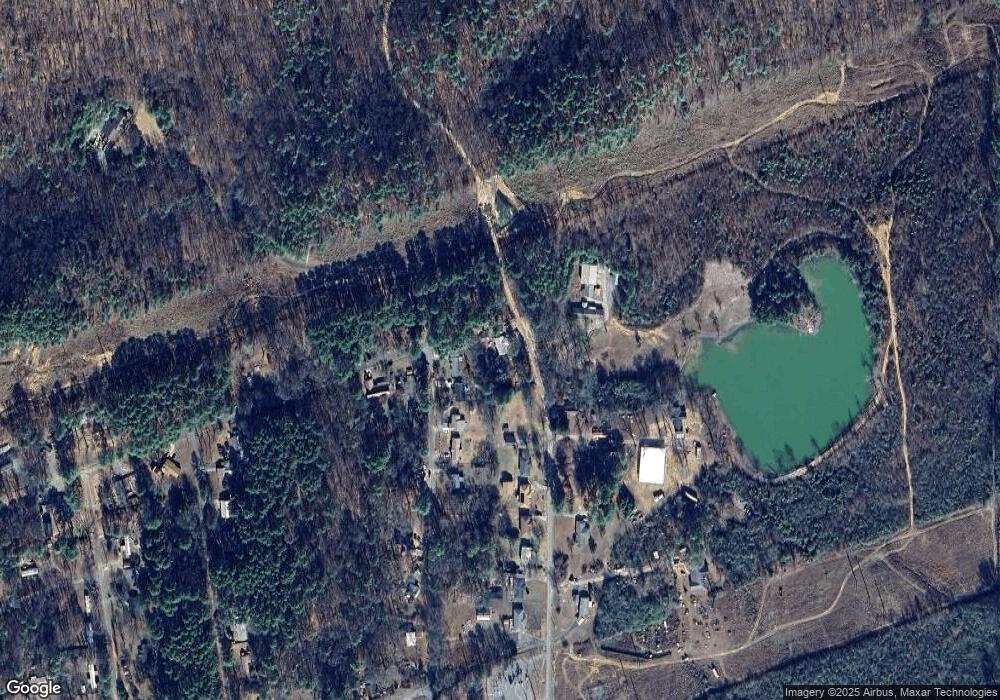
Map
Nearby Homes
- 33 Cedar Ln NW
- 31 Cedar Ln NW
- 43 Brownlow Dr NW
- 0 Alabama Hwy Unit 10590171
- 0 Alabama Hwy Unit 7635346
- 0 Alabama Hwy Unit 7494552
- 4813 Alabama Hwy SW
- 48 Atwood Dr NW
- 10 Nest Dr NW
- 36 Stargazer Trail NW
- 4485 Alabama Hwy
- 8 Kayla Dr NW
- 1 Ann Dr NW
- 5 Red Fox Dr SW
- 775 Mays Bridge Rd SW
- 26 Red Fox Dr SW
- 293 N Avery Rd NW
- 458 Kraftsman Rd SW
- 45 Albert Ave NW
- 86 N Avery Rd NW
- 36 Cedar Ln NW
- 34 Cedar Ln NW
- 30 Cedar Ln NW
- 30 Cedar Ln NW
- 40 Martin Rd NW
- 31 Martin Rd NW
- 2 Honeysuckle Ln NW
- 2 Honeysuckle Ln NW
- 28 Cedar Ln NW
- 29 Martin Rd NW
- 3 Honeysuckle Ln NW
- 32 Martin Rd NW
- 0 Cedar Ln NW Unit 8600533
- 0 Cedar Ln NW Unit 8572564
- 0 Cedar Ln NW Unit 8368892
- 0 Cedar Ln NW Unit 8359555
- 0 Cedar Ln NW Unit 7280782
- 0 Cedar Ln NW Unit 7258807
- 0 Cedar Ln NW Unit 3108086
- 36 Martin Rd NW