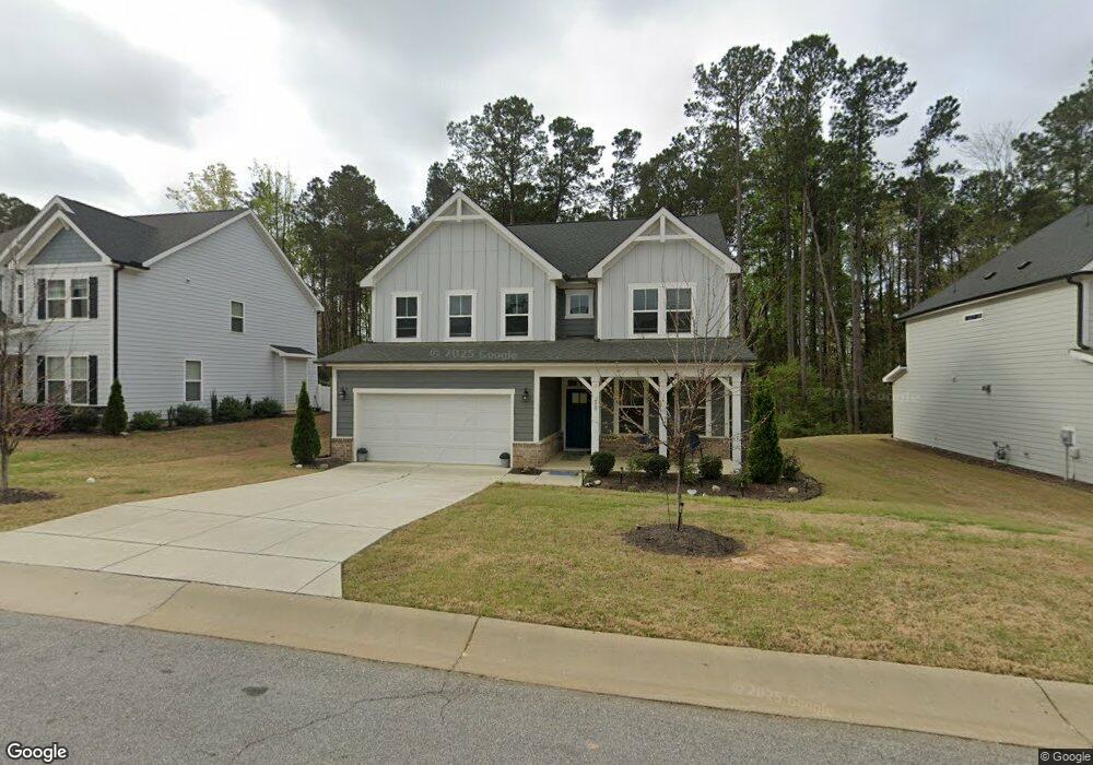
39 Maximus Cir Garner, NC 27529
Estimated Value: $419,820 - $481,000
4
Beds
4
Baths
2,416
Sq Ft
$188/Sq Ft
Est. Value
About This Home
This home is located at 39 Maximus Cir, Garner, NC 27529 and is currently estimated at $454,955, approximately $188 per square foot. 39 Maximus Cir is a home located in Johnston County with nearby schools including West View Elementary School, Cleveland Middle School, and West Johnston High School.
Ownership History
Date
Name
Owned For
Owner Type
Purchase Details
Closed on
Dec 22, 2020
Sold by
Davidson Homes Llc
Bought by
Robinson Spann Ashley
Current Estimated Value
Home Financials for this Owner
Home Financials are based on the most recent Mortgage that was taken out on this home.
Original Mortgage
$244,592
Outstanding Balance
$218,148
Interest Rate
2.8%
Mortgage Type
New Conventional
Estimated Equity
$236,807
Purchase Details
Closed on
Jan 30, 2019
Sold by
Golden Properties And Development Inc
Bought by
Waterford Green Communities Of Nc Llc
Home Financials for this Owner
Home Financials are based on the most recent Mortgage that was taken out on this home.
Original Mortgage
$11,550,000
Interest Rate
4.6%
Mortgage Type
Purchase Money Mortgage
Purchase Details
Closed on
Jan 11, 2018
Sold by
Dj 4042 Inc
Bought by
Golden Properties And Development Inc
Create a Home Valuation Report for This Property
The Home Valuation Report is an in-depth analysis detailing your home's value as well as a comparison with similar homes in the area
Home Values in the Area
Average Home Value in this Area
Purchase History
| Date | Buyer | Sale Price | Title Company |
|---|---|---|---|
| Robinson Spann Ashley | $319,500 | None Available | |
| Waterford Green Communities Of Nc Llc | $1,144,000 | None Available | |
| Golden Properties And Development Inc | $1,432,000 | None Available |
Source: Public Records
Mortgage History
| Date | Status | Borrower | Loan Amount |
|---|---|---|---|
| Open | Robinson Spann Ashley | $244,592 | |
| Previous Owner | Waterford Green Communities Of Nc Llc | $11,550,000 |
Source: Public Records
Tax History
| Year | Tax Paid | Tax Assessment Tax Assessment Total Assessment is a certain percentage of the fair market value that is determined by local assessors to be the total taxable value of land and additions on the property. | Land | Improvement |
|---|---|---|---|---|
| 2025 | $2,646 | $416,730 | $70,000 | $346,730 |
| 2024 | $2,178 | $268,830 | $50,000 | $218,830 |
| 2023 | $2,100 | $268,400 | $50,000 | $218,400 |
| 2022 | $2,208 | $268,400 | $50,000 | $218,400 |
| 2021 | $2,208 | $268,400 | $50,000 | $218,400 |
| 2020 | $416 | $50,000 | $50,000 | $0 |
| 2019 | $416 | $50,000 | $50,000 | $0 |
| 2018 | $426 | $50,000 | $50,000 | $0 |
Source: Public Records
Map
Nearby Homes
- 356 Fieldtrial Cir
- 236 Fieldtrial Cir
- 403 Airedale Trail
- 72 Meadowmist Dr
- 49 Dandy Flush Ct
- 648 Fieldtrial Cir
- 232 Fawn Hill Ct
- 181 Fawn Hill Ct
- 58 Trailblazer Ln
- 113 Hogan Dr
- 866 Black Angus Dr
- 562 Pierce Rd
- 48 Banbury Ct
- 94 Shady Creek Trail
- 111 Artic Cir
- 242 Thornwhistle Place
- 131 Artic Cir
- 11 Forest Meadow Ct
- 421 Danielle Dr
- 50 Linden Ct
- 51 Maximus Cir
- 53 Maximus Cir
- 25 Maximus Cir
- 50 Maximus Cir Unit LOT 373 (CHESTNUT/A)
- 50 Maximus Cir
- 32 Maximus Cir Unit LOT 374 (MAPLE/C)
- 32 Maximus Cir
- 65 Maximus Cir Unit LOT 368 (WILLOW/C)
- 65 Maximus Cir Unit LOT 368
- 65 Maximus Cir
- 13 Maximus Cir
- 128 Buddy Ct
- 62 Maximus Cir
- 96 Buddy Ct Unit LOT 375 (BIRCH/B)
- 96 Buddy Ct
- 75 Maximus Cir
- 80 Maximus Cir
- 74 Maximus Cir Unit LOT 371 (ASH/C)
- 74 Maximus Cir
- 90 Buddy Ct
Your Personal Tour Guide
Ask me questions while you tour the home.