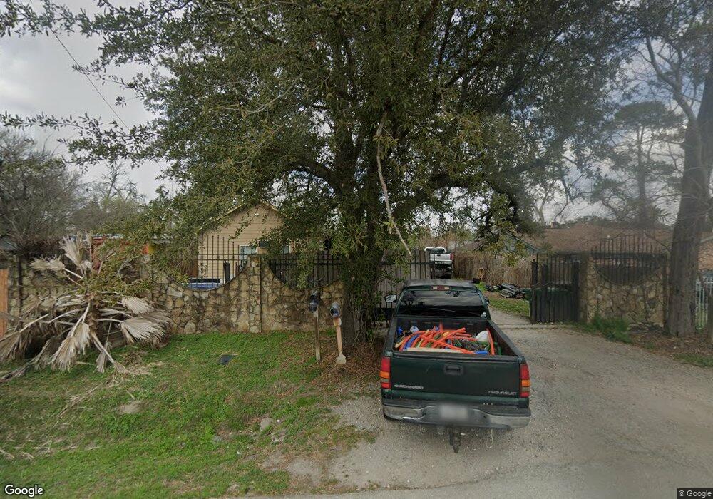
39 Meadow Lea Dr Houston, TX 77022
Northside-Northline NeighborhoodEstimated Value: $192,000 - $354,000
4
Beds
3
Baths
1,952
Sq Ft
$147/Sq Ft
Est. Value
About This Home
This home is located at 39 Meadow Lea Dr, Houston, TX 77022 and is currently estimated at $287,883, approximately $147 per square foot. 39 Meadow Lea Dr is a home located in Harris County with nearby schools including Janowski Elementary School, Burbank Middle School, and Sam Houston Math, Science & Technology Center.
Ownership History
Date
Name
Owned For
Owner Type
Purchase Details
Closed on
Jun 28, 2012
Sold by
Antos Homero De Los and Santos Blanca De Los
Bought by
Maldonado Brisa Maribel
Current Estimated Value
Purchase Details
Closed on
Nov 1, 2010
Sold by
H A J Properties Llc
Bought by
Delos Santos Homero
Purchase Details
Closed on
Jul 12, 2010
Sold by
Delos Santos Homero
Bought by
H A J Properties Llc
Purchase Details
Closed on
Apr 16, 2002
Sold by
Pruett Luther and Pruett Betty
Bought by
Delossantos Homero and Delossantos Blanca
Create a Home Valuation Report for This Property
The Home Valuation Report is an in-depth analysis detailing your home's value as well as a comparison with similar homes in the area
Home Values in the Area
Average Home Value in this Area
Purchase History
| Date | Buyer | Sale Price | Title Company |
|---|---|---|---|
| Maldonado Brisa Maribel | -- | None Available | |
| Delos Santos Homero | -- | None Available | |
| H A J Properties Llc | -- | None Available | |
| Delossantos Homero | -- | -- |
Source: Public Records
Tax History Compared to Growth
Tax History
| Year | Tax Paid | Tax Assessment Tax Assessment Total Assessment is a certain percentage of the fair market value that is determined by local assessors to be the total taxable value of land and additions on the property. | Land | Improvement |
|---|---|---|---|---|
| 2025 | $7,877 | $372,549 | $78,908 | $293,641 |
| 2024 | $7,877 | $376,466 | $78,908 | $297,558 |
| 2023 | $7,877 | $334,392 | $78,908 | $255,484 |
| 2022 | $6,068 | $275,573 | $60,120 | $215,453 |
| 2021 | $2,526 | $108,393 | $60,120 | $48,273 |
| 2020 | $2,378 | $98,219 | $60,120 | $38,099 |
| 2019 | $1,973 | $77,963 | $39,454 | $38,509 |
| 2018 | $1,787 | $70,636 | $39,454 | $31,182 |
| 2017 | $1,786 | $70,636 | $39,454 | $31,182 |
| 2016 | $1,751 | $69,247 | $39,454 | $29,793 |
| 2015 | $1,780 | $69,247 | $39,454 | $29,793 |
| 2014 | $1,780 | $69,247 | $39,454 | $29,793 |
Source: Public Records
Map
Nearby Homes
- 45 Wellford St
- 56 Wellford St
- 11 Wellford St Unit G
- Cypress Plan at Wellford Village
- Willow Plan at Wellford Village
- 44 Farrell St
- 61 Trenwood Ln
- 70 Burress St
- 90 Burress St Unit B
- 90 Burress St Unit A
- 119 Rebecca St
- 132 Grothe Ln
- 108 Fichter St
- 120 Rebecca St
- 131 Rebecca St
- 0 Yorkshire St Unit 17401015
- 715 E 34th St
- 0 E 31st St Unit 75519178
- 0 W Hardy St Unit 97848877
- 0 W Hardy St Unit 80694202
- 41 Meadow Lea Dr
- 35 Meadow Lea Dr
- 43 Meadow Lea Dr
- 45 Meadow Lea Dr
- 33 Meadow Lea Dr
- 40 Meadow Lea Dr
- 38 Meadow Lea Dr
- 42 Meadow Lea Dr
- 34 Berry Rd
- 46 Berry Rd
- 34 Meadow Lea Dr
- 50 Berry Rd
- 48 Meadow Lea Dr
- 8401 Meta St
- 35 Berry Rd
- 50 Meadow Lea Dr
- 51 Meadow Lea Dr
- 33 Berry Rd
- 8405 Meta St
- 52 Berry Rd