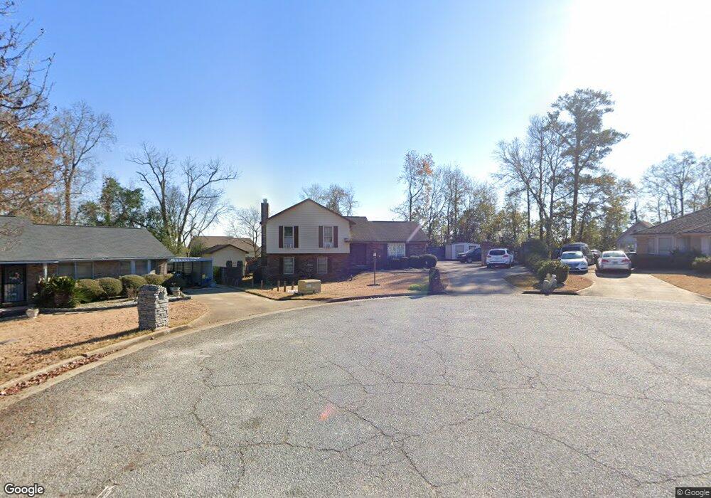
39 Middleton Place Columbus, GA 31907
Eastern Columbus NeighborhoodEstimated Value: $199,343 - $254,000
3
Beds
7
Baths
2,110
Sq Ft
$105/Sq Ft
Est. Value
About This Home
This home is located at 39 Middleton Place, Columbus, GA 31907 and is currently estimated at $222,586, approximately $105 per square foot. 39 Middleton Place is a home located in Muscogee County with nearby schools including Dawson Elementary School, East Columbus Magnet Academy, and Spencer High School.
Ownership History
Date
Name
Owned For
Owner Type
Purchase Details
Closed on
Jul 15, 2025
Sold by
Milners Rental Properties Llc
Bought by
Middleton Place Properties Llc
Current Estimated Value
Purchase Details
Closed on
Jul 10, 2013
Sold by
Milner Harvey L
Bought by
Milners Rental Properties Llc
Create a Home Valuation Report for This Property
The Home Valuation Report is an in-depth analysis detailing your home's value as well as a comparison with similar homes in the area
Home Values in the Area
Average Home Value in this Area
Purchase History
| Date | Buyer | Sale Price | Title Company |
|---|---|---|---|
| Middleton Place Properties Llc | -- | None Listed On Document | |
| Middleton Place Properties Llc | -- | None Listed On Document | |
| Middleton Place Properties Llc | -- | None Listed On Document | |
| Middleton Place Properties Llc | -- | None Listed On Document | |
| Milners Rental Properties Llc | -- | -- |
Source: Public Records
Tax History Compared to Growth
Tax History
| Year | Tax Paid | Tax Assessment Tax Assessment Total Assessment is a certain percentage of the fair market value that is determined by local assessors to be the total taxable value of land and additions on the property. | Land | Improvement |
|---|---|---|---|---|
| 2025 | $2,440 | $62,320 | $9,900 | $52,420 |
| 2024 | $2,440 | $62,320 | $9,900 | $52,420 |
| 2023 | $2,148 | $66,340 | $9,900 | $56,440 |
| 2022 | $2,226 | $54,524 | $9,900 | $44,624 |
| 2021 | $1,823 | $44,644 | $9,900 | $34,744 |
| 2020 | $1,823 | $44,644 | $9,900 | $34,744 |
| 2019 | $1,829 | $44,644 | $9,900 | $34,744 |
| 2018 | $1,829 | $44,644 | $9,900 | $34,744 |
| 2017 | $1,835 | $44,644 | $9,900 | $34,744 |
| 2016 | $1,878 | $45,519 | $7,200 | $38,319 |
| 2015 | $1,880 | $45,519 | $7,200 | $38,319 |
| 2014 | $714 | $43,141 | $7,200 | $35,941 |
| 2013 | -- | $44,842 | $7,200 | $37,642 |
Source: Public Records
Map
Nearby Homes
- 780 Honey Do Ct
- 5234 Saint Marys Rd
- 849 Bunker Hill Rd
- 906 Bunker Hill Rd
- 4939 Aaron Dr
- 4408 Walking Stick Way
- 4965 Brightstar Ln
- 5336 Gettysburg Way
- 1513 Alamo Dr
- 4462 Walking Stick Way
- 5219 Argonne Dr
- 4201 Valley Crest Dr
- 811 Pheasant Loop
- 1210 Bunker Hill Rd
- 4917 Brightstar Ln
- 1238 Brandywine Dr
- 31 R C Allen Dr
- 5294 Bunker Hill Ct
- 59 Apollo Dr
- 5310 Stoney Point Rd
- 35 Middleton Place
- 44 Middleton Place
- 5219 Village Way
- 5211 Village Way
- 31 Middleton Place
- 38 Middleton Place
- 795 Honey Do Ct
- 5201 Village Way
- 5223 Village Way
- 789 Honey Do Ct
- 34 Middleton Place
- 29 Middleton Place
- 783 Honey Do Ct
- 5155 Saint Marys Rd
- 30 Middleton Place
- 5147 Saint Marys Rd
- 5163 Saint Marys Rd
- 25 Middleton Place
- 5139 Saint Marys Rd
- 26 Middleton Place