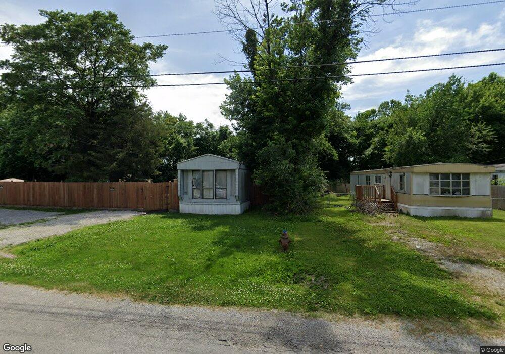
39 Mousette Ave East Carondelet, IL 62240
Estimated Value: $52,695 - $115,000
--
Bed
--
Bath
720
Sq Ft
$106/Sq Ft
Est. Value
About This Home
This home is located at 39 Mousette Ave, East Carondelet, IL 62240 and is currently estimated at $76,424, approximately $106 per square foot. 39 Mousette Ave is a home located in St. Clair County with nearby schools including Bluffview Elementary School and Dupo High School.
Ownership History
Date
Name
Owned For
Owner Type
Purchase Details
Closed on
May 5, 2017
Sold by
County Of St Clair
Bought by
Bluestem Properties Llc
Current Estimated Value
Purchase Details
Closed on
Apr 27, 2017
Sold by
Bluestem Properties Llc
Bought by
Liter Mikeal W and Saunders Sabrina M
Purchase Details
Closed on
May 31, 2016
Sold by
Levin Judith Ann
Bought by
Levin William L
Purchase Details
Closed on
Feb 4, 2005
Sold by
Williamson Darren A
Bought by
Levin William L and Levin Judith Ann
Purchase Details
Closed on
May 24, 2004
Sold by
Mehrtens Sharon
Bought by
Williamson Daren A
Create a Home Valuation Report for This Property
The Home Valuation Report is an in-depth analysis detailing your home's value as well as a comparison with similar homes in the area
Home Values in the Area
Average Home Value in this Area
Purchase History
| Date | Buyer | Sale Price | Title Company |
|---|---|---|---|
| Bluestem Properties Llc | -- | None Available | |
| Liter Mikeal W | $4,000 | Attorney | |
| Levin William L | -- | Accent Title Inc | |
| Levin William L | $4,000 | Benchmark Title Company Llc | |
| Williamson Daren A | $8,000 | -- |
Source: Public Records
Tax History Compared to Growth
Tax History
| Year | Tax Paid | Tax Assessment Tax Assessment Total Assessment is a certain percentage of the fair market value that is determined by local assessors to be the total taxable value of land and additions on the property. | Land | Improvement |
|---|---|---|---|---|
| 2024 | $866 | $10,623 | $3,559 | $7,064 |
| 2023 | $863 | $9,871 | $3,307 | $6,564 |
| 2022 | $768 | $9,259 | $3,102 | $6,157 |
| 2021 | $746 | $8,713 | $2,919 | $5,794 |
| 2020 | $718 | $7,873 | $2,673 | $5,200 |
| 2019 | $681 | $7,873 | $2,673 | $5,200 |
| 2018 | $305 | $3,340 | $2,549 | $791 |
| 2017 | $309 | $3,104 | $2,369 | $735 |
| 2016 | $323 | $3,273 | $2,291 | $982 |
| 2014 | $301 | $3,273 | $2,291 | $982 |
| 2013 | $329 | $3,349 | $2,344 | $1,005 |
Source: Public Records
Map
Nearby Homes
- 2023 1st St
- 2027 1st St
- 21 Saint Gregory Dr
- 49 Saint Gregory Dr
- 35 Saint Justin Dr
- 1128 Saint Margaret Dr
- 1512 N Main St
- 404 Garden St
- 2 Saint Luke Ct
- 1444 N Main St
- 506 Mcbride Ave
- 813 Saint Matthew Dr
- 300 Stone St
- 817 Saint Matthew Dr
- 736 Saint Martin Dr
- 747 Saint Norbert Dr
- 721 Saint Barbara Ln
- 805 Plum St
- 706 Saint Barbara Ln
- 528 Saint Paul Dr