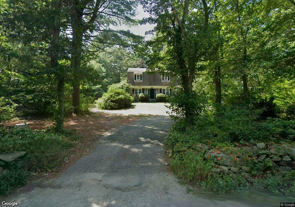
39 N Main St Berkley, MA 02779
Estimated Value: $577,000 - $647,000
3
Beds
2
Baths
1,912
Sq Ft
$321/Sq Ft
Est. Value
About This Home
This home is located at 39 N Main St, Berkley, MA 02779 and is currently estimated at $613,537, approximately $320 per square foot. 39 N Main St is a home located in Bristol County with nearby schools including Berkley Community School and Our Lady of Lourdes School.
Ownership History
Date
Name
Owned For
Owner Type
Purchase Details
Closed on
Dec 21, 2004
Sold by
Sylvia Aaron T and Sylvia Karen M
Bought by
Woodward David L and Woodward Joanna
Current Estimated Value
Home Financials for this Owner
Home Financials are based on the most recent Mortgage that was taken out on this home.
Original Mortgage
$265,000
Outstanding Balance
$132,270
Interest Rate
5.68%
Mortgage Type
Purchase Money Mortgage
Estimated Equity
$481,267
Purchase Details
Closed on
Aug 23, 1996
Sold by
Menard Dorothy M and Custer Dorothy M
Bought by
Sylvia Arron T and Sylvia Karen M
Home Financials for this Owner
Home Financials are based on the most recent Mortgage that was taken out on this home.
Original Mortgage
$148,200
Interest Rate
8.4%
Mortgage Type
Purchase Money Mortgage
Create a Home Valuation Report for This Property
The Home Valuation Report is an in-depth analysis detailing your home's value as well as a comparison with similar homes in the area
Home Values in the Area
Average Home Value in this Area
Purchase History
| Date | Buyer | Sale Price | Title Company |
|---|---|---|---|
| Woodward David L | $355,000 | -- | |
| Sylvia Arron T | $156,000 | -- |
Source: Public Records
Mortgage History
| Date | Status | Borrower | Loan Amount |
|---|---|---|---|
| Open | Woodward David L | $265,000 | |
| Previous Owner | Sylvia Arron T | $148,200 | |
| Previous Owner | Sylvia Arron T | $75,000 | |
| Previous Owner | Sylvia Arron T | $40,000 |
Source: Public Records
Tax History Compared to Growth
Tax History
| Year | Tax Paid | Tax Assessment Tax Assessment Total Assessment is a certain percentage of the fair market value that is determined by local assessors to be the total taxable value of land and additions on the property. | Land | Improvement |
|---|---|---|---|---|
| 2025 | $59 | $490,300 | $158,800 | $331,500 |
| 2024 | $5,671 | $455,500 | $136,800 | $318,700 |
| 2023 | $5,452 | $412,400 | $136,800 | $275,600 |
| 2022 | $5,292 | $384,900 | $118,900 | $266,000 |
| 2021 | $5,142 | $360,100 | $113,200 | $246,900 |
| 2020 | $4,969 | $342,000 | $100,200 | $241,800 |
| 2019 | $4,836 | $330,300 | $100,200 | $230,100 |
| 2018 | $6,167 | $316,200 | $96,400 | $219,800 |
| 2017 | $1,743 | $303,500 | $108,000 | $195,500 |
| 2016 | $4,203 | $283,200 | $108,000 | $175,200 |
| 2015 | $3,981 | $286,200 | $108,000 | $178,200 |
| 2014 | $3,814 | $297,700 | $117,200 | $180,500 |
Source: Public Records
Map
Nearby Homes
- 2 Bc Ln
- 2 Lima Ln
- 36 Forrest St
- 32 Forrest St
- 66 S Main St
- 70 Plain St E
- 59 Seymour St
- 7 Eric Dr
- 195 Pratt St Unit A
- 11 Talbot Ave
- 4 A Lawton St Unit A
- 954 Stonegate Landing
- 8 Herbert St
- 29 Williams Ave
- 41 Hart Ave
- 6 Southeast St
- 1 Fayal Ave
- 450 Somerset Ave Unit 2-7
- 450 Somerset Ave Unit 6-6
- 322 Dighton Ave