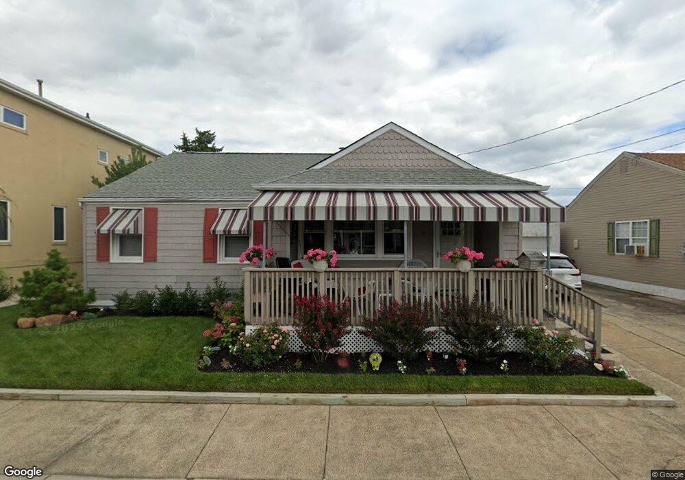
39 N Overbrook Ave Longport, NJ 08403
Estimated Value: $543,000 - $1,386,000
2
Beds
2
Baths
1,484
Sq Ft
$738/Sq Ft
Est. Value
About This Home
This home is located at 39 N Overbrook Ave, Longport, NJ 08403 and is currently estimated at $1,095,848, approximately $738 per square foot. 39 N Overbrook Ave is a home located in Atlantic County with nearby schools including Blessed Sacrament Regional School, St. James Elementary School, and Saint Joseph Regional School.
Ownership History
Date
Name
Owned For
Owner Type
Purchase Details
Closed on
Jul 28, 2010
Sold by
Fannan Nancy A
Bought by
Reif Max and Reif Joy R
Current Estimated Value
Home Financials for this Owner
Home Financials are based on the most recent Mortgage that was taken out on this home.
Original Mortgage
$250,000
Outstanding Balance
$166,855
Interest Rate
4.73%
Mortgage Type
New Conventional
Estimated Equity
$928,993
Create a Home Valuation Report for This Property
The Home Valuation Report is an in-depth analysis detailing your home's value as well as a comparison with similar homes in the area
Home Values in the Area
Average Home Value in this Area
Purchase History
| Date | Buyer | Sale Price | Title Company |
|---|---|---|---|
| Reif Max | $480,000 | Stewart Title Guaranty Co |
Source: Public Records
Mortgage History
| Date | Status | Borrower | Loan Amount |
|---|---|---|---|
| Open | Reif Max | $250,000 |
Source: Public Records
Tax History Compared to Growth
Tax History
| Year | Tax Paid | Tax Assessment Tax Assessment Total Assessment is a certain percentage of the fair market value that is determined by local assessors to be the total taxable value of land and additions on the property. | Land | Improvement |
|---|---|---|---|---|
| 2025 | $5,689 | $507,000 | $476,300 | $30,700 |
| 2024 | $5,689 | $507,000 | $476,300 | $30,700 |
| 2023 | $5,136 | $507,000 | $476,300 | $30,700 |
| 2022 | $5,136 | $507,000 | $476,300 | $30,700 |
| 2021 | $4,933 | $507,000 | $476,300 | $30,700 |
| 2020 | $4,999 | $507,000 | $476,300 | $30,700 |
| 2019 | $4,989 | $507,000 | $476,300 | $30,700 |
| 2018 | $4,989 | $507,000 | $476,300 | $30,700 |
| 2017 | $4,887 | $507,000 | $476,300 | $30,700 |
| 2016 | $4,695 | $507,000 | $476,300 | $30,700 |
| 2015 | $4,598 | $507,000 | $476,300 | $30,700 |
| 2014 | $4,553 | $507,000 | $476,300 | $30,700 |
Source: Public Records
Map
Nearby Homes
- 32 N Pelham Ave
- 32 N Manor Ave
- 5 S 27th Ave
- 3008 Ventnor Ave
- 2931 Pacific Ave
- 3014 Ventnor Ave
- 2700 Atlantic Ave Unit 701
- 2700 Atlantic Ave Unit 515
- 2700 Atlantic Ave Unit 212
- 2700 Atlantic Ave Unit 419
- 2700 Atlantic Ave Unit AVE601
- 2407 Atlantic Ave
- 3105 Pacific Ave
- 2404 Atlantic Ave
- 212 N 33rd Ave
- 3301 Atlantic Ave
- 3404 Ventnor Ave
- 22 N Coolidge Ave
- 16 N Monroe Ave Unit A8
- 9709 Monmouth Ave Unit C2
- 45 N Overbrook Ave
- 33 N Overbrook Ave
- 40 N Pelham Ave
- 36 N Overbrook Ave
- 29 N Overbrook Ave
- 26 N Pelham Ave
- 46 N Pelham Ave
- 2906 Sunset Ave
- 26 N Overbrook Ave
- 2909 Longport Dr
- 2900 Sunset Ave
- 24 N Pelham Ave
- 31 N Pelham Ave
- 29 N Pelham Ave
- 25 N 29th Ave
- 37 N Pelham Ave
- 2908 Sunset Ave
- 2905 Longport Dr
- 41 N Pelham Ave
- 2901 Sunset Ave