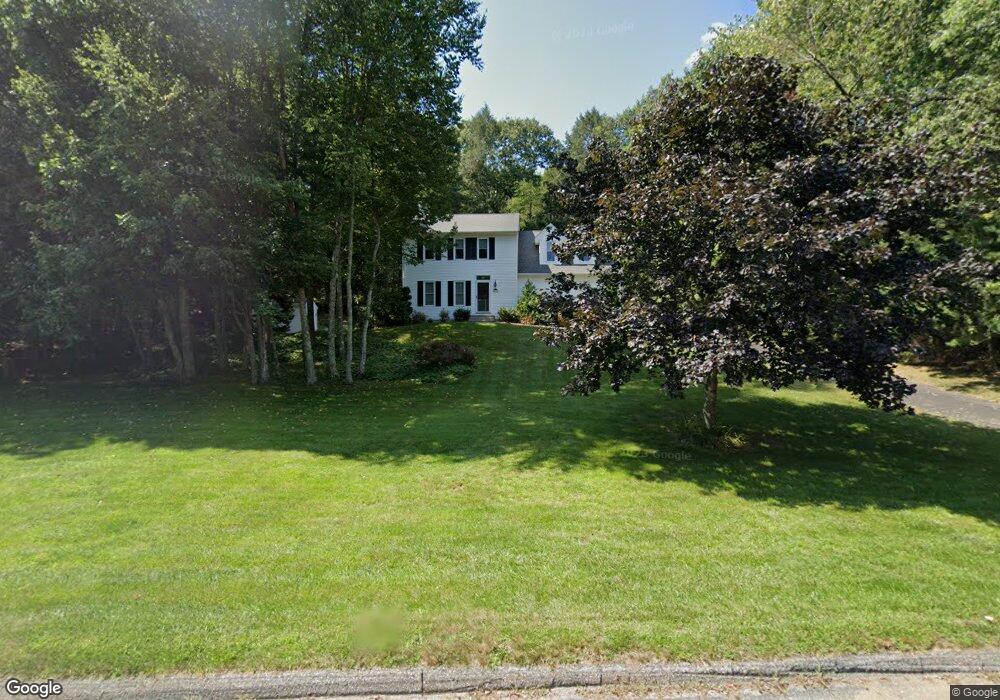
39 Nipmuck Rd Willington, CT 06279
Estimated Value: $434,000 - $457,000
3
Beds
3
Baths
1,658
Sq Ft
$269/Sq Ft
Est. Value
About This Home
This home is located at 39 Nipmuck Rd, Willington, CT 06279 and is currently estimated at $445,534, approximately $268 per square foot. 39 Nipmuck Rd is a home with nearby schools including Center Elementary School, Hall Memorial School, and E.O. Smith High School.
Ownership History
Date
Name
Owned For
Owner Type
Purchase Details
Closed on
Jun 30, 2000
Sold by
Marshall Bruce and Marshall Kathleen
Bought by
Loughran John and Loughran Debra
Current Estimated Value
Home Financials for this Owner
Home Financials are based on the most recent Mortgage that was taken out on this home.
Original Mortgage
$161,900
Interest Rate
8.59%
Create a Home Valuation Report for This Property
The Home Valuation Report is an in-depth analysis detailing your home's value as well as a comparison with similar homes in the area
Home Values in the Area
Average Home Value in this Area
Purchase History
| Date | Buyer | Sale Price | Title Company |
|---|---|---|---|
| Loughran John | $179,900 | -- | |
| Loughran John | $179,900 | -- |
Source: Public Records
Mortgage History
| Date | Status | Borrower | Loan Amount |
|---|---|---|---|
| Closed | Loughran John | $156,500 | |
| Closed | Loughran John | $160,000 | |
| Closed | Loughran John | $161,900 |
Source: Public Records
Tax History Compared to Growth
Tax History
| Year | Tax Paid | Tax Assessment Tax Assessment Total Assessment is a certain percentage of the fair market value that is determined by local assessors to be the total taxable value of land and additions on the property. | Land | Improvement |
|---|---|---|---|---|
| 2025 | $6,619 | $260,400 | $63,540 | $196,860 |
| 2024 | $5,849 | $172,580 | $37,190 | $135,390 |
| 2023 | $5,430 | $168,840 | $37,190 | $131,650 |
| 2022 | $5,280 | $168,840 | $37,190 | $131,650 |
| 2021 | $5,064 | $168,840 | $37,190 | $131,650 |
| 2020 | $5,064 | $168,840 | $37,190 | $131,650 |
| 2019 | $5,080 | $168,840 | $37,190 | $131,650 |
| 2018 | $5,342 | $177,520 | $49,230 | $128,290 |
| 2017 | $5,342 | $177,520 | $49,230 | $128,290 |
| 2015 | $4,853 | $177,520 | $49,230 | $128,290 |
| 2014 | $4,853 | $177,520 | $49,230 | $128,290 |
Source: Public Records
Map
Nearby Homes
- 22 Red Oak Hill Rd
- 674 Middle Turnpike
- 53 Willington Hill Rd
- 266 Willington Hill Rd
- 0 Middle Turnpike
- 25 Ridgewood Rd
- 152 Cedar Swamp Rd
- 39 Navratil Rd
- 90-94 & 93 Upton Rd
- 685 Wormwood Hill Rd
- 16 Westgate Ln
- 167 Baxter Rd
- 9 Storrs Heights Rd
- 113 Hillyndale Rd
- 329 N Eagleville Rd
- 124 River Rd
- 21 Silo Rd W Unit 21
- 287 Maple Rd
- 29 Windswept Ln
- 48 Monticello Ln
- 43 Nipmuck Rd
- 38 Nipmuck Rd
- 23 Nipmuck Rd
- 47 Nipmuck Rd
- 46 Nipmuck Rd
- 20 Nipmuck Rd
- 53 Nipmuck Rd
- 16 Nipmuck Rd
- 52 Nipmuck Rd
- 12 Nipmuck Rd
- 13 Nipmuck Rd
- 9 Nipmuck Rd
- 8 Nipmuck Rd
- 6 Nipmuck Rd
- 913 Middle Turnpike
- 879 Middle Turnpike
- 857 Boston Turnpike
- 923 Middle Turnpike
- 933 Middle Turnpike
- 861 Middle Turnpike