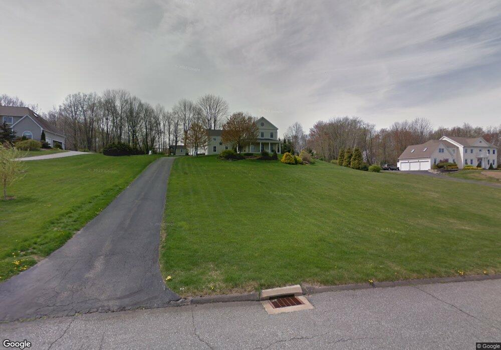
39 Noah Ln Tolland, CT 06084
Estimated Value: $648,322 - $853,000
4
Beds
4
Baths
3,031
Sq Ft
$239/Sq Ft
Est. Value
About This Home
This home is located at 39 Noah Ln, Tolland, CT 06084 and is currently estimated at $723,831, approximately $238 per square foot. 39 Noah Ln is a home located in Tolland County with nearby schools including Tolland High School.
Ownership History
Date
Name
Owned For
Owner Type
Purchase Details
Closed on
Jul 6, 2004
Sold by
Rich Jay and Rich Jane
Bought by
Yates John and Yates Stasia
Current Estimated Value
Purchase Details
Closed on
Jul 31, 2000
Sold by
Trombley Jay and Trombley Veronica
Bought by
Fry Donald
Create a Home Valuation Report for This Property
The Home Valuation Report is an in-depth analysis detailing your home's value as well as a comparison with similar homes in the area
Home Values in the Area
Average Home Value in this Area
Purchase History
| Date | Buyer | Sale Price | Title Company |
|---|---|---|---|
| Yates John | $449,900 | -- | |
| Yates John | $449,900 | -- | |
| Fry Donald | $89,900 | -- |
Source: Public Records
Mortgage History
| Date | Status | Borrower | Loan Amount |
|---|---|---|---|
| Open | Fry Donald | $90,000 | |
| Open | Fry Donald | $241,500 | |
| Closed | Fry Donald | $100,000 |
Source: Public Records
Tax History
| Year | Tax Paid | Tax Assessment Tax Assessment Total Assessment is a certain percentage of the fair market value that is determined by local assessors to be the total taxable value of land and additions on the property. | Land | Improvement |
|---|---|---|---|---|
| 2025 | $11,907 | $437,900 | $88,500 | $349,400 |
| 2024 | $10,874 | $287,900 | $84,400 | $203,500 |
| 2023 | $10,747 | $287,900 | $84,400 | $203,500 |
| 2022 | $10,531 | $287,900 | $84,400 | $203,500 |
| 2021 | $10,684 | $287,900 | $84,400 | $203,500 |
| 2020 | $10,379 | $287,900 | $84,400 | $203,500 |
| 2019 | $10,966 | $304,200 | $86,900 | $217,300 |
| 2018 | $10,647 | $304,200 | $86,900 | $217,300 |
| 2017 | $10,401 | $304,200 | $86,900 | $217,300 |
| 2016 | $10,401 | $304,200 | $86,900 | $217,300 |
| 2015 | $10,148 | $304,200 | $86,900 | $217,300 |
| 2014 | $9,790 | $315,300 | $96,600 | $218,700 |
Source: Public Records
Map
Nearby Homes
- 64 Columbine Rd
- 64 Summerwood Ridge
- 361 Dunn Rd
- 39 Josephine Way
- 151 Pine Hill Rd
- 21 Josephine Way
- 38 Josephine Way
- 32 Josephine Way
- 26 Josephine Way
- 612 Broad Way
- 0 Mile Hill Rd
- 248 Merrow Rd
- 284 Merrow Rd
- 312 Merrow Rd
- 217 Old Post Rd
- 317 Merrow Rd
- 93 Dockerel Rd
- 395 Grant Hill Rd Unit Lot21
- 106 David Dr
- 395 Grant Hill (Mill Race Drive) Lot #21 Rd
Your Personal Tour Guide
Ask me questions while you tour the home.