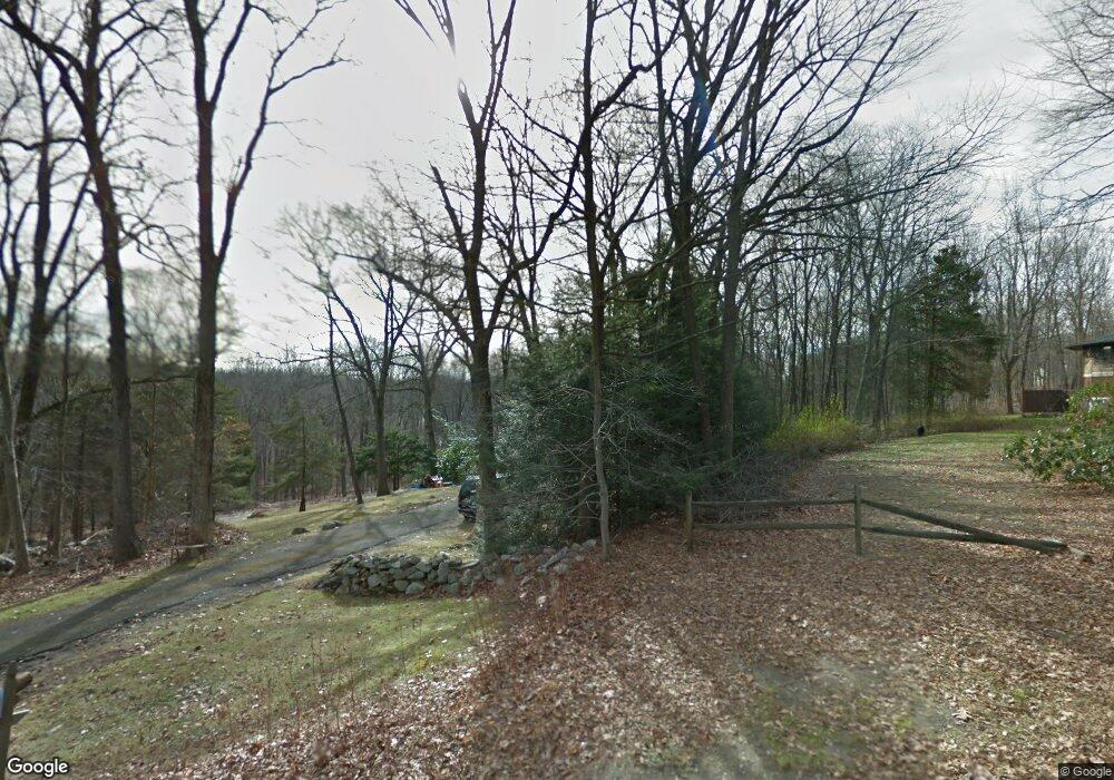
39 Northrop Rd Bethany, CT 06524
Estimated Value: $402,000 - $532,000
Studio
--
Bath
--
Sq Ft
47,916
Sq Ft
About This Home
This home is located at 39 Northrop Rd, Bethany, CT 06524 and is currently estimated at $462,300. 39 Northrop Rd is a home with nearby schools including Bethany Community School.
Ownership History
Date
Name
Owned For
Owner Type
Purchase Details
Closed on
Mar 27, 2001
Sold by
Munro Gregory B and Munro Lynda B
Bought by
Conners William L
Current Estimated Value
Home Financials for this Owner
Home Financials are based on the most recent Mortgage that was taken out on this home.
Original Mortgage
$260,000
Interest Rate
6.93%
Create a Home Valuation Report for This Property
The Home Valuation Report is an in-depth analysis detailing your home's value as well as a comparison with similar homes in the area
Home Values in the Area
Average Home Value in this Area
Purchase History
| Date | Buyer | Sale Price | Title Company |
|---|---|---|---|
| Conners William L | $280,000 | -- | |
| Conners William L | $280,000 | -- |
Source: Public Records
Mortgage History
| Date | Status | Borrower | Loan Amount |
|---|---|---|---|
| Closed | Conners William L | $253,762 | |
| Closed | Conners William L | $261,000 | |
| Closed | Conners William L | $260,000 |
Source: Public Records
Tax History
| Year | Tax Paid | Tax Assessment Tax Assessment Total Assessment is a certain percentage of the fair market value that is determined by local assessors to be the total taxable value of land and additions on the property. | Land | Improvement |
|---|---|---|---|---|
| 2025 | $7,951 | $272,860 | $78,260 | $194,600 |
| 2024 | $7,755 | $272,860 | $78,260 | $194,600 |
| 2023 | $8,285 | $219,290 | $86,980 | $132,310 |
| 2022 | $7,894 | $219,290 | $86,980 | $132,310 |
| 2021 | $7,566 | $219,290 | $86,980 | $132,310 |
| 2020 | $8,017 | $219,290 | $86,980 | $132,310 |
| 2019 | $8,092 | $219,290 | $86,980 | $132,310 |
| 2018 | $8,408 | $227,870 | $87,720 | $140,150 |
| 2017 | $8,408 | $227,870 | $87,720 | $140,150 |
| 2016 | $8,089 | $227,870 | $87,720 | $140,150 |
| 2015 | $7,985 | $227,870 | $87,720 | $140,150 |
| 2014 | $7,725 | $227,870 | $87,720 | $140,150 |
Source: Public Records
Map
Nearby Homes
- 11 Old Fairwood Road Extension
- 211 Lasky Rd
- 39 Lasky Rd
- 8 Woodland Path Unit 8
- 349 Amity Rd
- 1070 Amity Rd Unit LOT 36
- 20 Terese Rd
- 55 Trout Brook Dr
- 60 Rice Ln
- 102 Rice Lane Extension
- 18 Fieldstone Ln
- 1405 New Haven Rd
- 198 Cook Ln
- 1144 Amity Rd
- 39 Horton Hill Rd Unit 7C
- 39 Horton Hill Rd Unit 10I
- 61 Edwards Rd
- 140 Barn Finch Cir
- 194 Beacon Valley Rd Unit Parcel 1971759
- 9 Lakeview Rise Unit 9
- 37 Northrop Rd Unit 39
- 45 Northrop Rd
- 57 Northrop Rd
- 20 Northrop Road Extension
- 58 Northrop Rd
- 44 Northrop Rd
- 30 Northrop Road Extension
- 51 Northrop Rd
- 28 Northrop Rd
- 34 Northrop Road Extension
- 9 Ralph Rd
- 48 Northrop Rd
- 66 Northrop Rd
- 36 Northrop Road Extension
- 19 Ralph Rd
- 10 Ralph Rd
- 18 Ralph Rd
- 9 Northrop Rd
- 10 Northrop Rd
- 46 Northrop Rd
Your Personal Tour Guide
Ask me questions while you tour the home.
