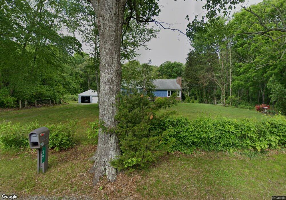
39 Pendleton Rd Preston, CT 06365
Estimated Value: $402,392 - $456,000
4
Beds
2
Baths
1,640
Sq Ft
$261/Sq Ft
Est. Value
About This Home
This home is located at 39 Pendleton Rd, Preston, CT 06365 and is currently estimated at $427,848, approximately $260 per square foot. 39 Pendleton Rd is a home located in New London County.
Ownership History
Date
Name
Owned For
Owner Type
Purchase Details
Closed on
Nov 27, 2012
Sold by
Lopresti John R and Lopresti Anne M
Bought by
Lopresti David M and Lopresti Elizabeth U
Current Estimated Value
Home Financials for this Owner
Home Financials are based on the most recent Mortgage that was taken out on this home.
Original Mortgage
$132,000
Outstanding Balance
$90,032
Interest Rate
3.42%
Mortgage Type
New Conventional
Estimated Equity
$337,816
Create a Home Valuation Report for This Property
The Home Valuation Report is an in-depth analysis detailing your home's value as well as a comparison with similar homes in the area
Home Values in the Area
Average Home Value in this Area
Purchase History
| Date | Buyer | Sale Price | Title Company |
|---|---|---|---|
| Lopresti David M | $132,000 | -- |
Source: Public Records
Mortgage History
| Date | Status | Borrower | Loan Amount |
|---|---|---|---|
| Open | Lopresti David M | $132,000 |
Source: Public Records
Tax History
| Year | Tax Paid | Tax Assessment Tax Assessment Total Assessment is a certain percentage of the fair market value that is determined by local assessors to be the total taxable value of land and additions on the property. | Land | Improvement |
|---|---|---|---|---|
| 2025 | $5,018 | $199,850 | $65,520 | $134,330 |
| 2024 | $4,670 | $199,850 | $65,520 | $134,330 |
| 2023 | $4,587 | $199,850 | $65,520 | $134,330 |
| 2022 | $4,034 | $144,700 | $59,500 | $85,200 |
| 2021 | $3,898 | $144,700 | $59,500 | $85,200 |
| 2020 | $3,892 | $144,700 | $59,500 | $85,200 |
| 2019 | $3,824 | $144,700 | $59,500 | $85,200 |
| 2018 | $3,767 | $144,700 | $59,500 | $85,200 |
| 2017 | $3,622 | $150,900 | $59,500 | $91,400 |
| 2016 | $3,584 | $150,900 | $59,500 | $91,400 |
| 2015 | $3,471 | $150,900 | $59,500 | $91,400 |
| 2014 | $3,492 | $150,900 | $59,500 | $91,400 |
Source: Public Records
Map
Nearby Homes
- 9 Mains Way
- 26 Tanglewood Dr
- 6 Lake of Isles Rd
- 4 Lake of Isles Rd
- 36 NW Corner Rd
- 57 NW Corner Rd
- 381 Route 2
- 55A Anna Farm Rd W
- 0 Lake of Isles Rd Unit 170371521
- 991 Shewville Rd
- 381 Route 164
- 256 Route 2
- 16 Abbey Rd
- 14 Abbey Rd
- 15 Paster Rd
- 7 Halls Mill Rd
- 36 Route 2a
- 19 Cedarcrest Dr
- 25 Coachman Pike
- 59 Long Society Rd
- 36 Pendleton Rd
- 34 Pendleton Rd
- 33 Pendleton Rd
- 18 Pendleton Rd
- 29 Pendleton Rd
- 14 Hollowell Rd
- 31 Hollowell Rd
- 12 Hollowell Rd
- 13 Hollowell Rd
- 131 Route 164
- 16 Pendleton Rd
- 52 Hollowell Rd
- 53 Hollowell Rd
- 53 Hollowell Rd Unit 33
- 16 Savage Rd
- 1 Hollowell Rd
- 127 Route 164
- 5 Pendleton Rd
- 1 Cooktown Rd
- 170 Ross Rd
Your Personal Tour Guide
Ask me questions while you tour the home.